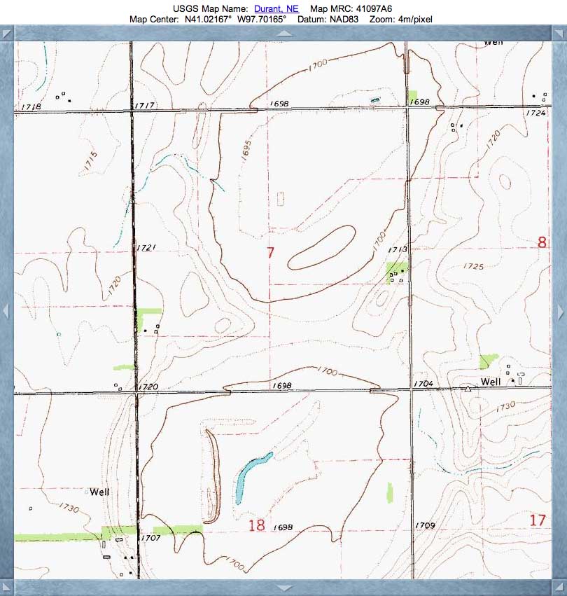
Renquist Basin, NE
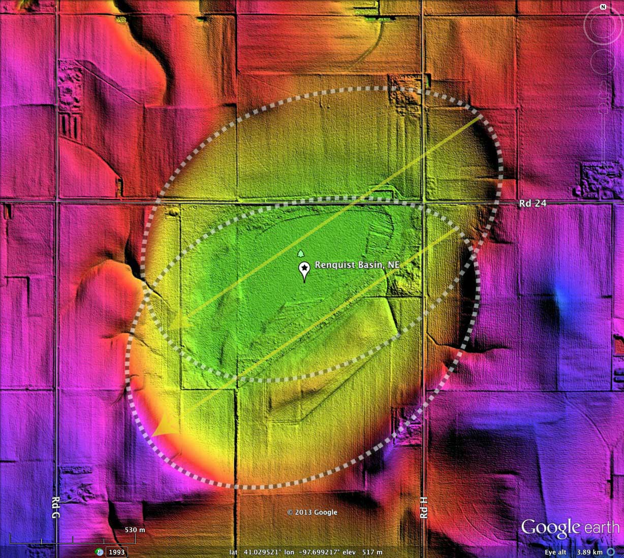
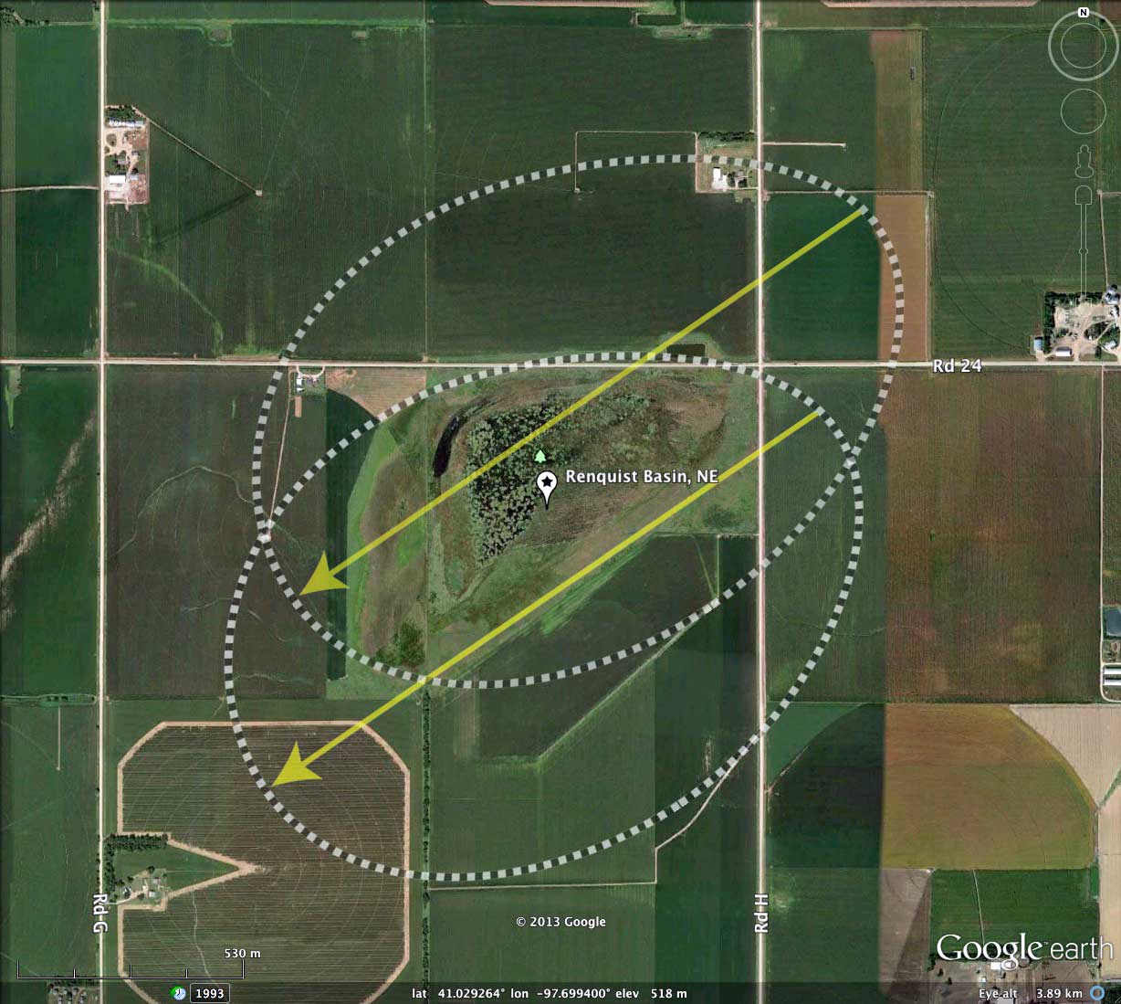
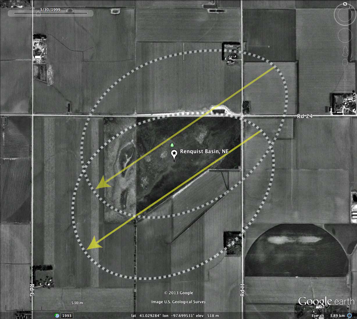
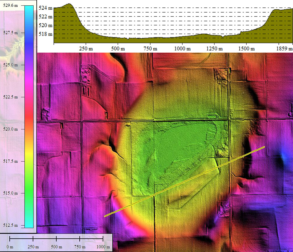
Renquist Basin is another of the _Rainwater Basins_ in Nebraska. I interpret the basin to be the assemblage of two bayWest archetype planforms. They make a good fit, as visualized in the LiDAR. The "wet" area of the basin is located where the two planforms overlap. The overlap/juxtaposition of bay planforms to comprise a single landform is also seen in many of the eastern Carolina Bays. This suggest that whatever mechanism formed the basins, it supported a repeatable "assembly" process.
The Nebraska Game and Parks Commission has produced a 121 page brochure titled Birds of the Rainwater Basins , which can be downloads as a PDF from this LINK.
The open bodies of water found within many of the Rainwater Basins lakes - prized for their ability to attract and nurture wildfowl - are being artificially recharged by the Nebraska Game and Parks Commission and U.S. Fish and Wildlife Service (USFWS). On a regular basis they pump water from wells into the wetlands for the duck hunting season. Renquist Basin is among those pumped in the fall of 2012.
- Index #: 164390_1079
- Location: 41.02692055816281,-97.69945443106668
- Major: 1.62 km . . . Minor: 1.18 km
- Eccentricity: 0.685
- Area: 151.28 hectares
- Bearing: 235.68º
- Elevation: 516.7 m
- Archetype: bayWest
- Effective Diameter: 1,387.859 m
- Index #: 164390_1279
- Location: 41.031115183284086,-97.69848308455926
- Major: 1.67 km . . . Minor: 1.17 km
- Eccentricity: 0.714
- Area: 154.33 hectares
- Bearing: 235.68º
- Elevation: 516.22 m
- Archetype: West_Prototype
- Effective Diameter: 1,401.78 m
Copyright 2018 by Michael Davias