Swanson Basin, NE
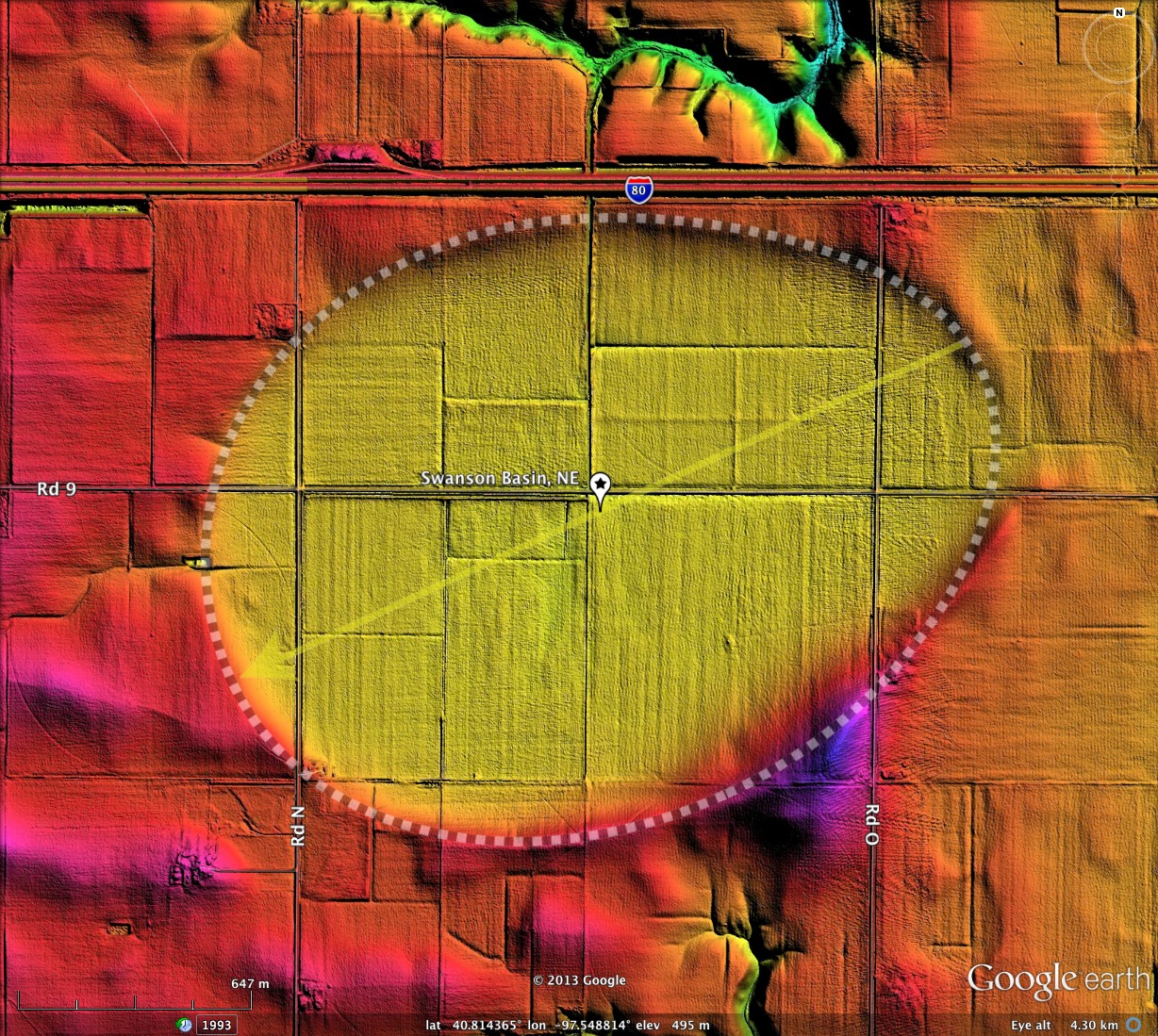
As is the case with many of the Nebraska "Carolina Bays", Swanson Basin is a very large landform, measuring over 2 1/4 kilometers along the major axis. I chose to name this landform after an historical land owner. The USGS topographic map captures the basins form, but it had not previously been named.
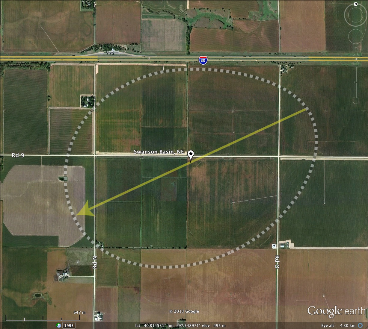
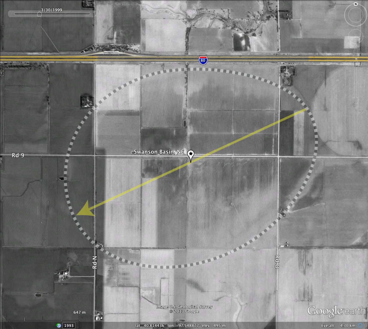
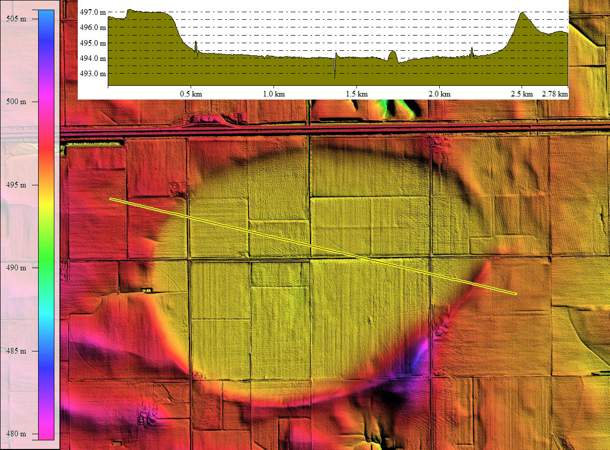
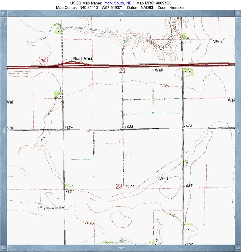
The elevation profile map shows a full 3 meters of circumpherial rim hight, and no obvious natural drainage. Compared to many other basins in Nebraska, Swanson's seemingly lower water holding capacity has allowed the entire basin to be converted to farmland. The historical imagery from the 1990's suggest there area some fairly wet areas in the center of the basin, although that are is under a pivot irrigation gantry system.
As an indication of just how slight the basin rims are on the ground, note that the pivot irrigation system on the southeastern side of the bay has no trouble mounting and crossing the rim there. The LiDAR imagery has a 20x elevation exaggeration applied as an aid in visualizing the rim.
The template shape used for measurement with Google Earth is the bayWest archetype, and the orientation measured is consistent with others in the region.
- Index #: 163390_2519
- Location: 40.8138264047152,-97.54889197565439
- Major: 2.28 km . . . Minor: 1.74 km
- Eccentricity: 0.645
- Area: 313.35 hectares
- Bearing: 245.18º
- Elevation: 493.97 m
- Archetype: bayWest
- Effective Diameter: 1,997.42 m
Copyright 2018 by Michael Davias