Mavaton Bay, NC
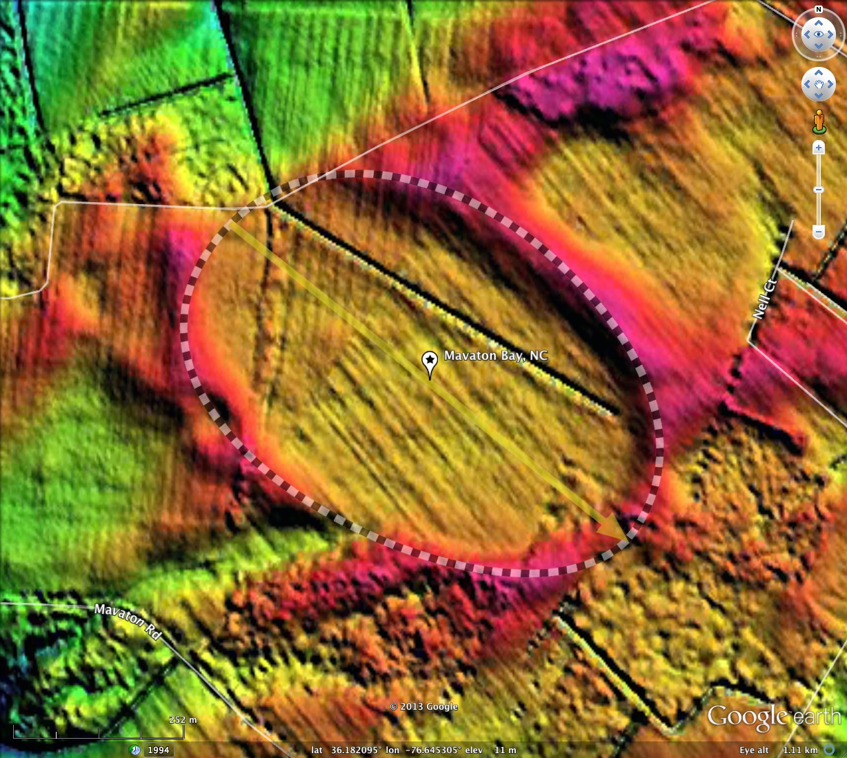
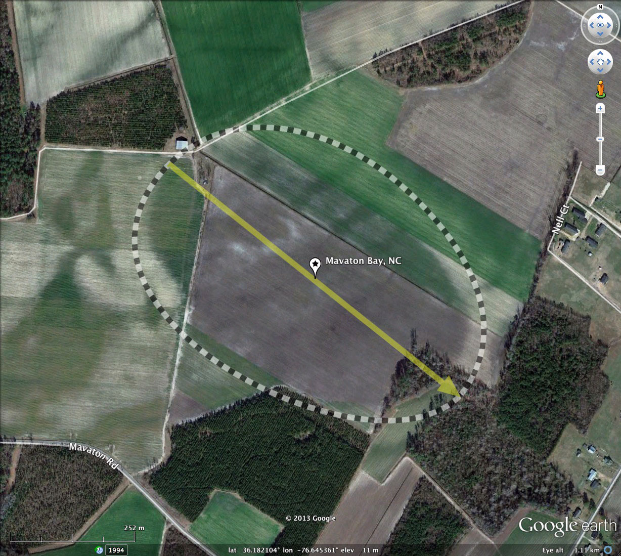
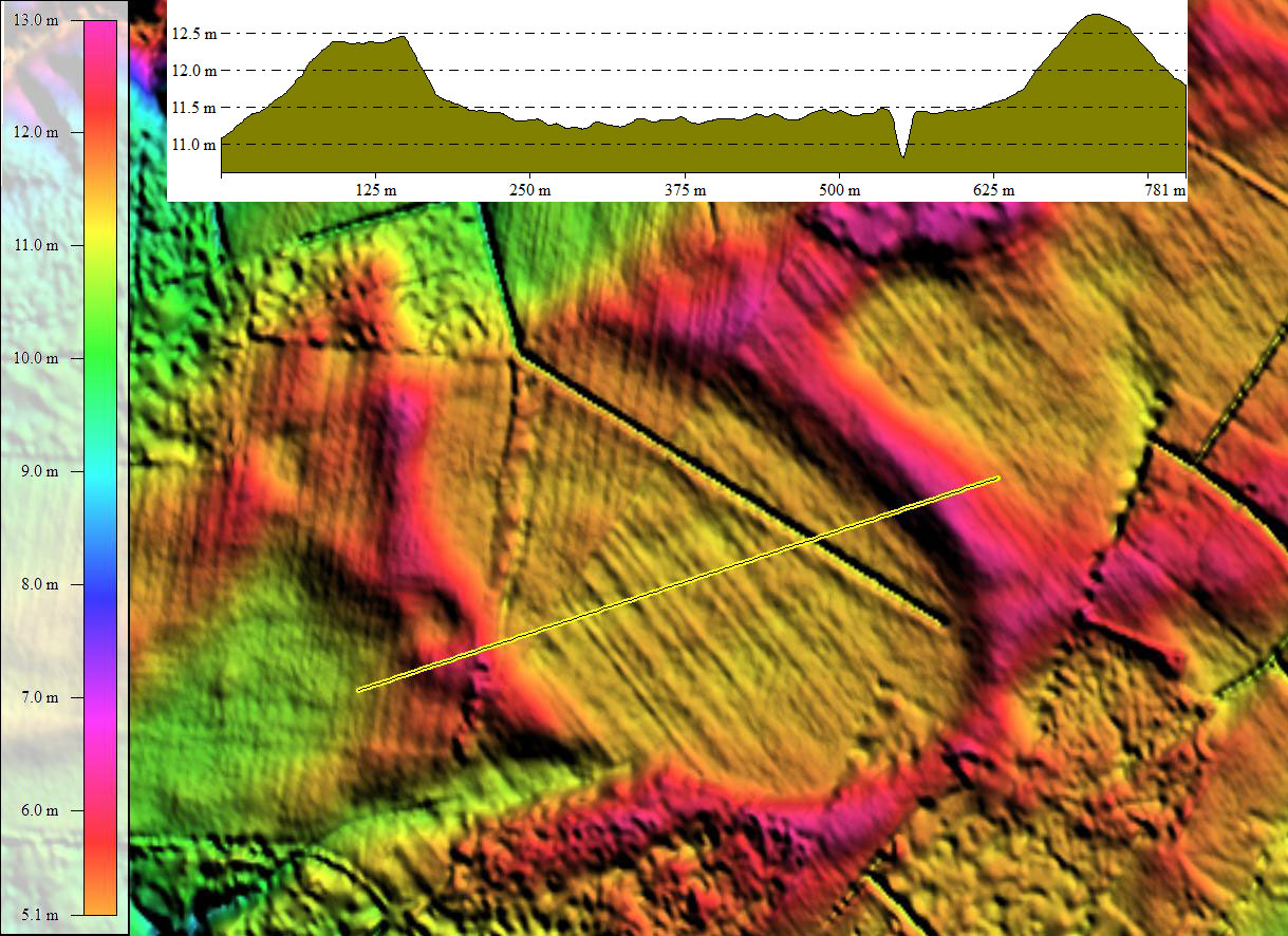
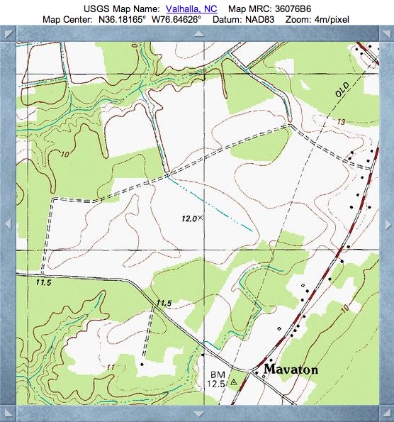
Mavaton Bay has a very deep cross-bay drainage channel, visible in the LiDAR and on the USGS Topographic map. The result is that 95% of the Bay floor is bing actively used for agriculture. The name is taken from the nearby hamlet and road.
The bay conforms well to the standard bayCarolina archetype shape, and has an alignment consistent with others in the immediate area.
The bay was identified as a potential research site in a paper entitled The Carolina Bays: An Investigation of North America’s Post Last- Glacial Maximum Environment, by a group from Elizabeth City State University. LINK
A poster presentation of an examination of Mavaton Bay by Gallop, Highsmith, LeCompte and Branch entitled Carolina Bays: A Late-Pleistocene, Early Holocene Environment is available from the Elizabeth City State University website: LINK
Italicized text below is quoted from the poster:
Different theorists tout either terrestrial or extraterrestrial processes for their creation. Advocate of terrestrial mechanisms posit the bays existence to climatic processes only while extraterrestrial proponents believe some kind of cosmic impact is responsible.
We used a combination of Ground penetrating RADAR (GPR) and soil core sample analysis to determine the characteristics of a small, well defined Carolina bay in the vicinity of Elizabeth City. At present, Stratigraphic profiles obtained using the GPR seemed to be more consistent with terrestrial processes, however evidence of fire should be subject to further investigation.
James Gallop IV, Clarence Highsmith
Pollen samples from the research had not been processed at the time of the Poster Presentation. At other locations, the pollen at depths in bays has been found to represent colder climates, and when combined with carbon isotope dating beyond there range of the technology, i.e., >50 thousand years old, one possible conclusion is that bays were created during the Penultimate Glaciation, or even earlier.
- Index #: 144306_7258
- Location: 36.181841131760805,-76.64529170791394
- Major: 0.74 km . . . Minor: 0.51 km
- Eccentricity: 0.726
- Area: 30.32 hectares
- Bearing: 128.65º
- Elevation: 11.41 m
- Archetype: bayCarolina
- Effective Diameter: 621.325 m
Copyright 2018 by Michael Davias