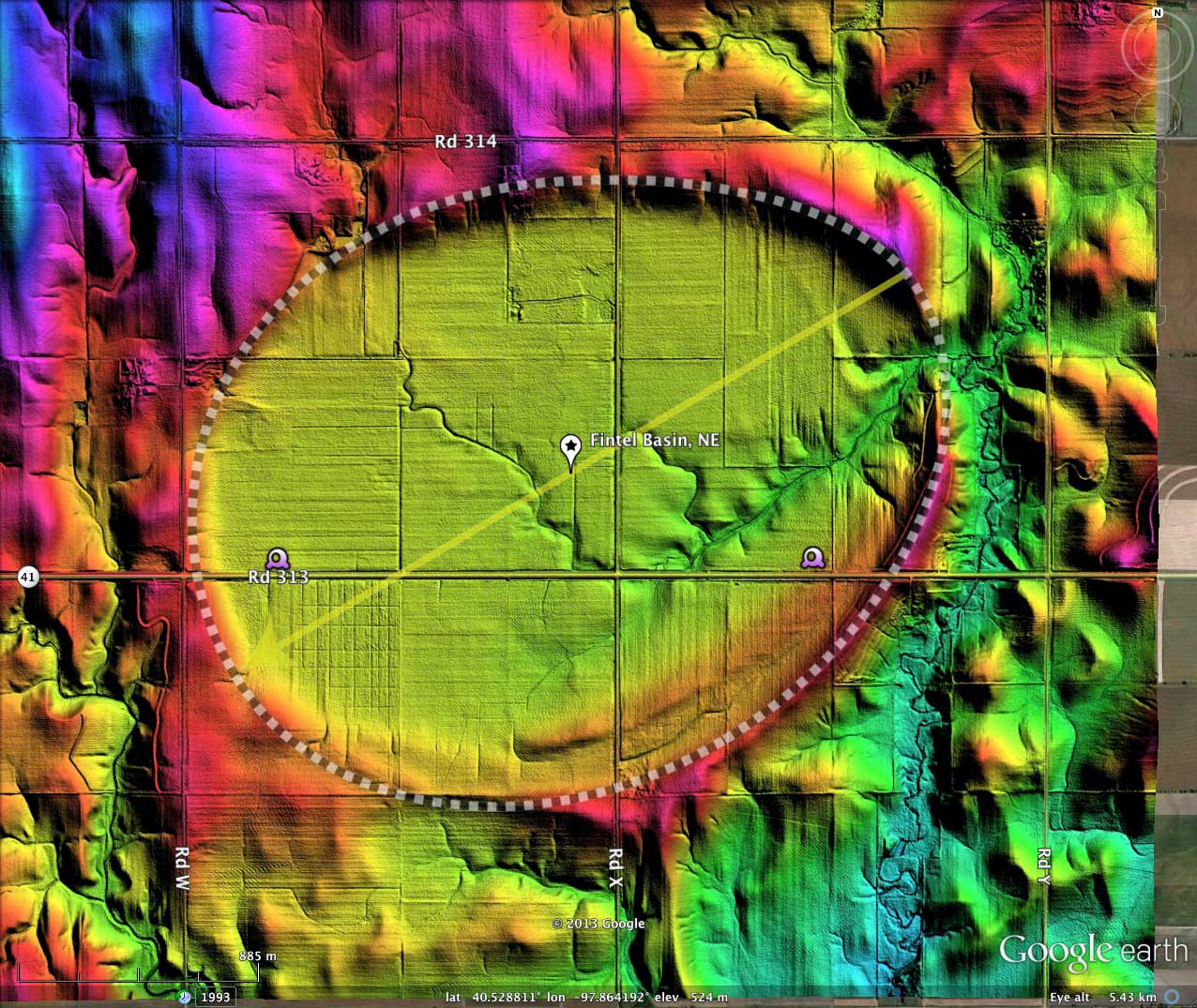
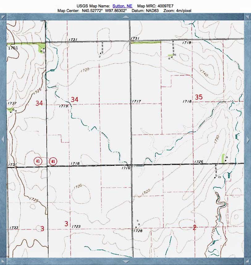
Fintel Basin, NE
I have named today's CBotD after an historic landowner, as no USGS name had been given to this gentle depression found 8 kilometers due south of Sutton, Clay County, NE. Unlike many other bays which hold standing water and therefore attract wildlife, this basin has an extensive natural drainage network which directs local precipitation and groundwater out a break in its rim at the far eastern tip.
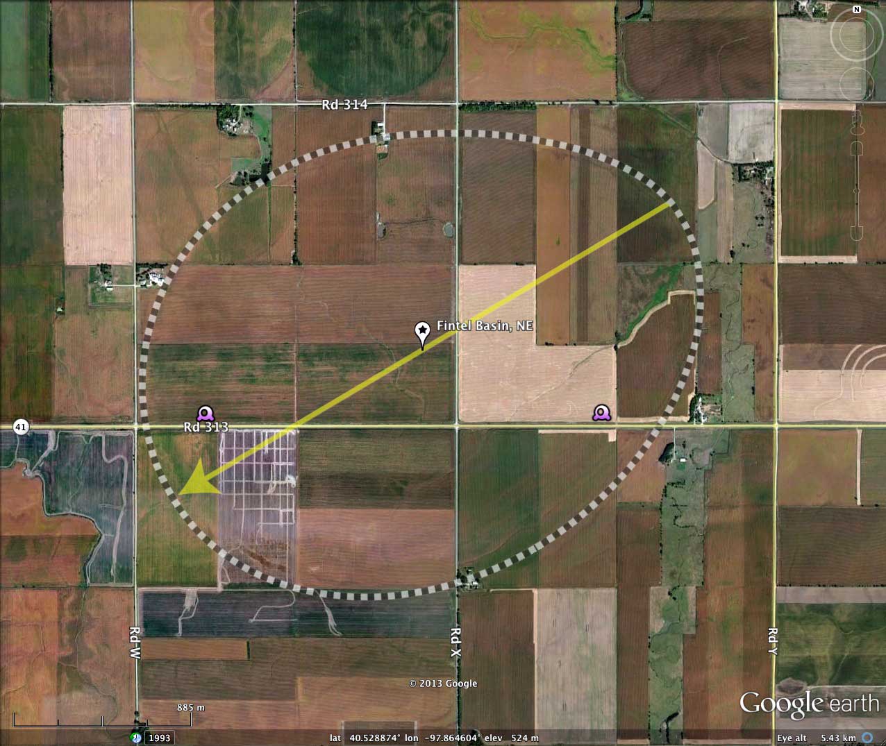
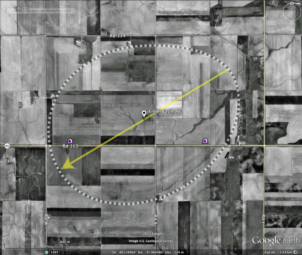
The basin is under agricultural use, and is crossed by local roads. There seems to be no buildings present.
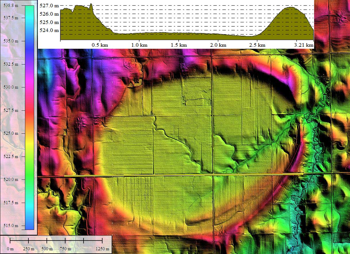
The repetition of the bayWest archetype overlay template seen here and across Nebraska is remarkable, and similar to the adherence to archetype shapes seen in the eastern Carolina Bays. The basin floor sets ~3 meters below the circumpherial rim.
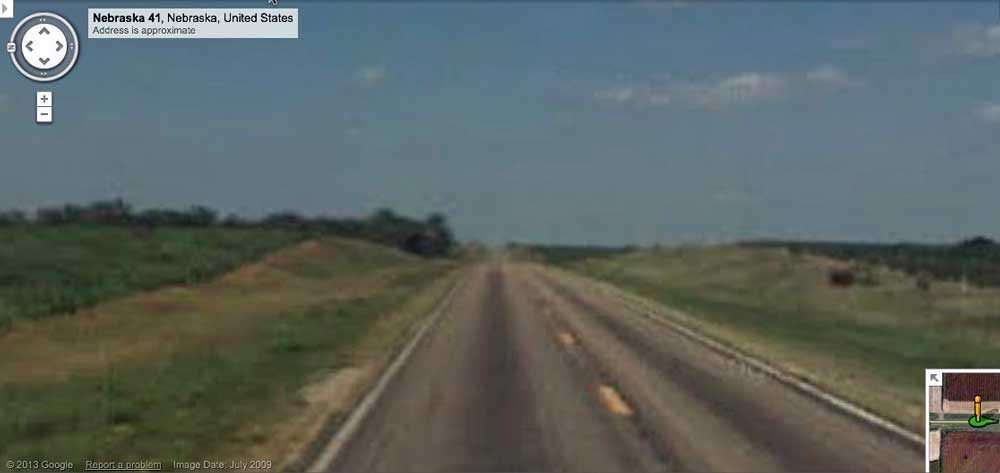
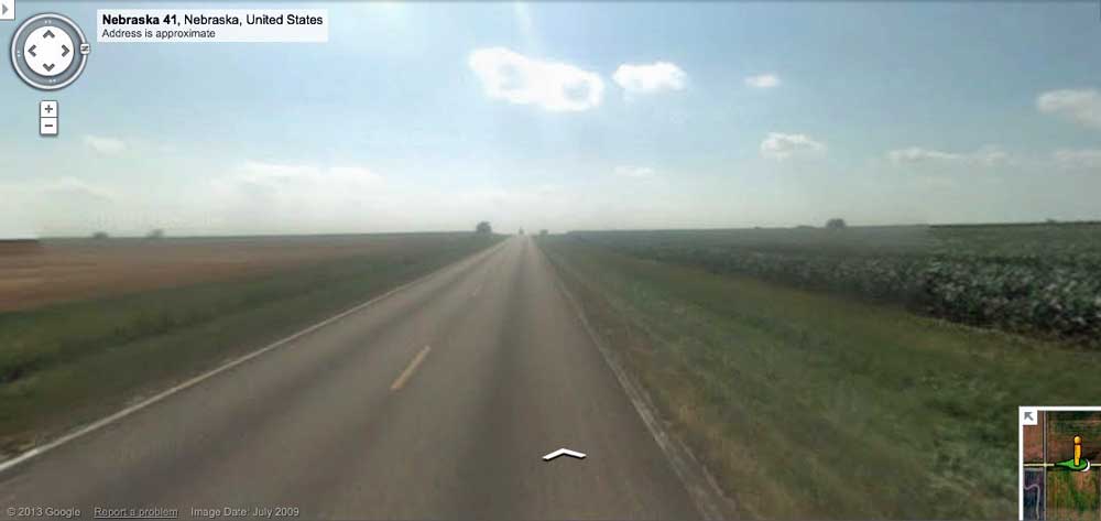
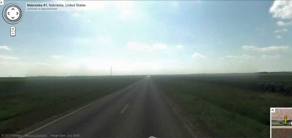
Google Streetview imagery is available along Nebraska Highway 31 (Road 313). Three static images from this resource are available in the attached album, and their locations are noted in the referenced KMZ file. Listed below are Google Maps links to bring up an interactive view of the landscape in your browser:
- Streetview Browser west rim from basin: LINK
- Streetview Browser east rim from basin: LINK
- Streetview Browser west rim from east rim: LINK
LiDAR data for Nebraska has been provided by the Nebraska Department of Natural Resources' Spatial Data Bank. The 1-2 meter spatial resolution raw data was processed in Global Mapper to yield the Google Earth overlays used.
The Carolina Bay Survey has identified and measured 20 bays in Octant 162391. Their location and metrics can be referenced through a Fusion Table spatial visualization.
The basin is under agricultural use, and is crossed by local roads. There seems to be no buildings present.
The repetition of the bayWest archetype overlay template seen here and across Nebraska is remarkable, and similar to the adherence to archetype shapes seen in the eastern Carolina Bays. The basin floor sets ~3 meters below the circumpherial rim.
Google Streetview imagery is available along Nebraska Highway 31 (Road 313). Three static images from this resource are available in the attached album, and their locations are noted in the referenced KMZ file. Listed below are Google Maps links to bring up an interactive view of the landscape in your browser:
- Streetview Browser west rim from basin: LINK
- Streetview Browser east rim from basin: LINK
- Streetview Browser west rim from east rim: LINK
LiDAR data for Nebraska has been provided by the Nebraska Department of Natural Resources' Spatial Data Bank. The 1-2 meter spatial resolution raw data was processed in Global Mapper to yield the Google Earth overlays used.
The Carolina Bay Survey has identified and measured 20 bays in Octant 162391. Their location and metrics can be referenced through a Fusion Table spatial visualization.
- Index #: 162391_1145
- Location: 40.5280305642592,-97.8644187867768
- Major: 2.93 km . . . Minor: 2.31 km
- Eccentricity: 0.616
- Area: 533.81 hectares
- Bearing: 239.28º
- Elevation: 522.98 m
- Archetype: bayWest
- Effective Diameter: 2,607.041 m
Copyright 2018 by Michael Davias