Ecret Bay, NJ
Landforms having many of the traits of "Carolina Bays" have been seen across New Jersey for many years. Perhaps one of the most interested geologists was William Charles Rasmussen, who studied the landforms while working on his Doctorate. His interest continued into his work at the USGS, where he researched the upper sediments in Maryland and Deleware. He once commented on viewing the gentle depressions from a small airplane while flying over New Jersey, just west of Wilmington. Perhaps this bay was in his sights, along with the hundreds more nearby.
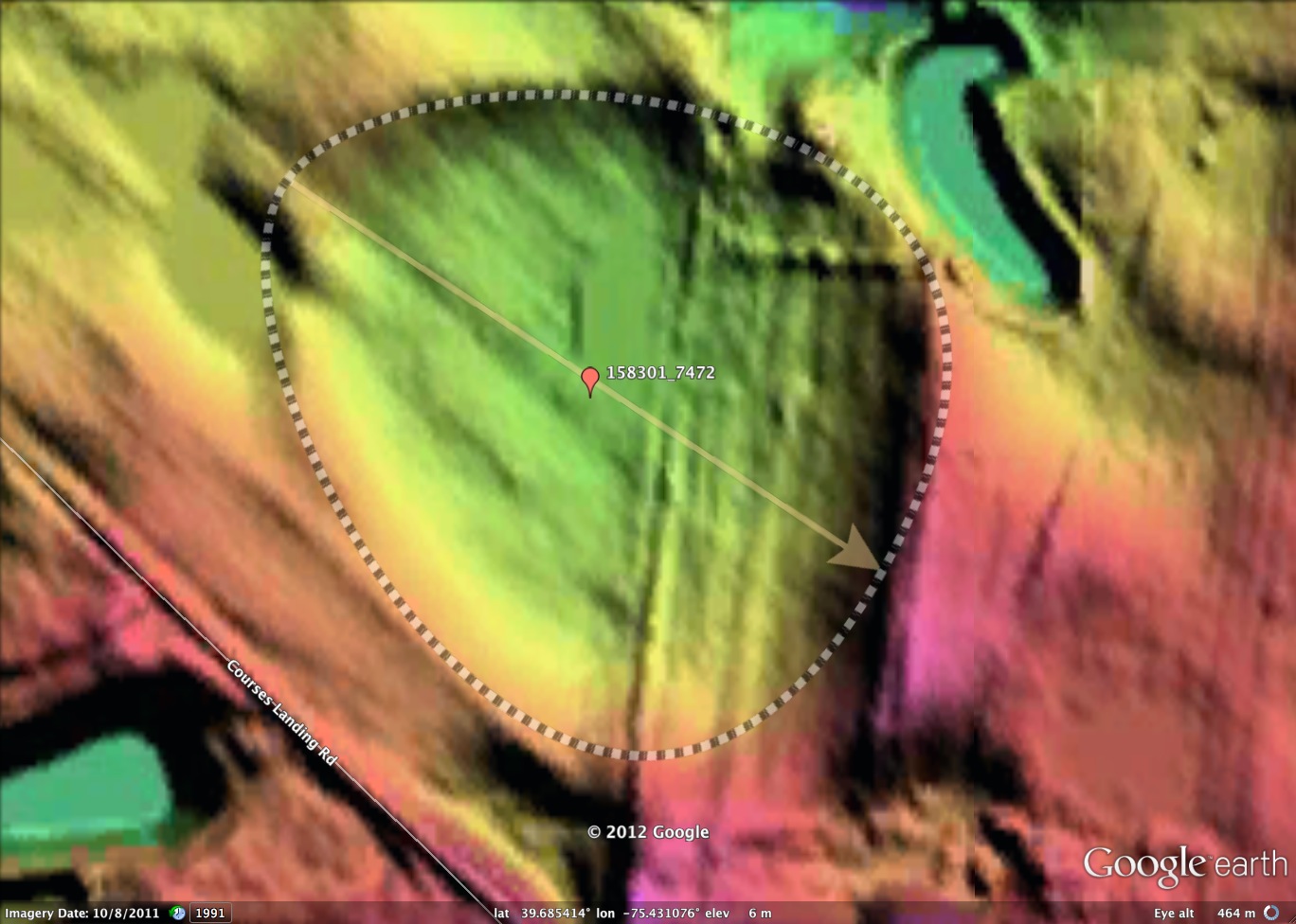
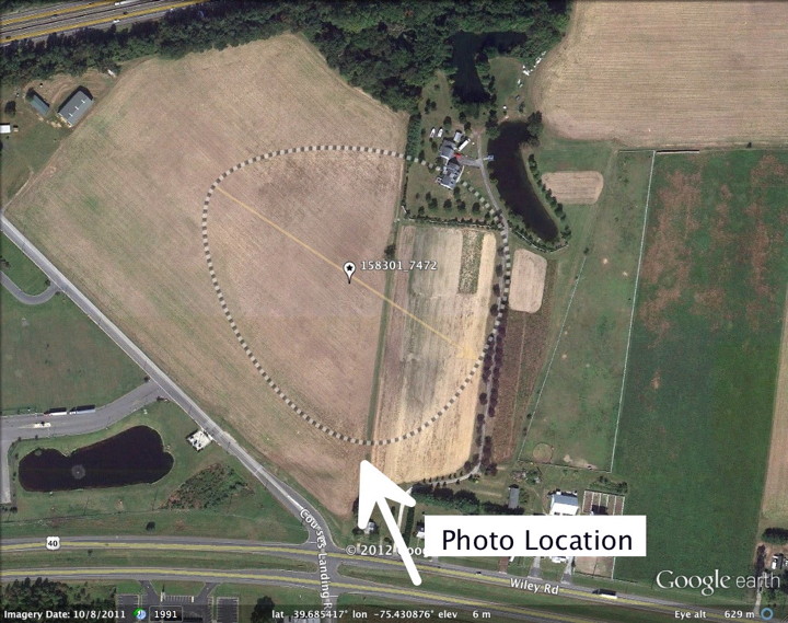
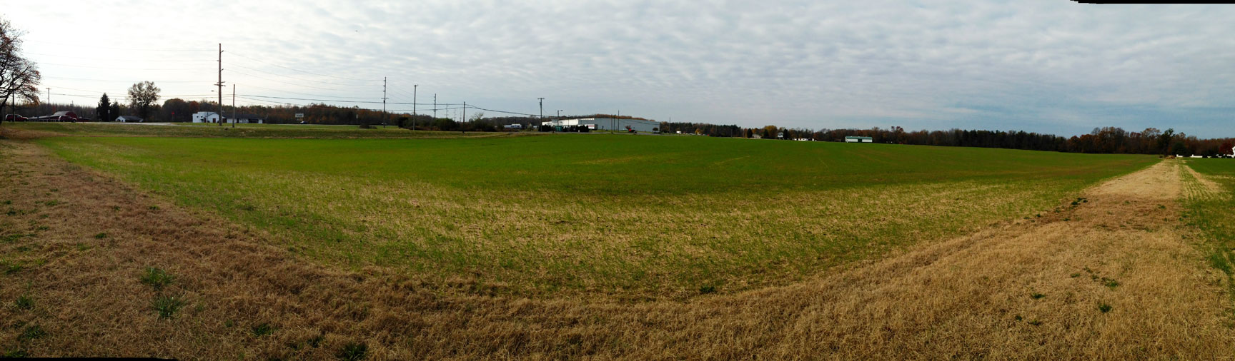
I named this bay after a local landowner, as there is no recognition of the depression on the USGS topographic maps. The attached panorama photograph was taken from the southern-most point of the bay. • Index #: 158301_7472
I named this bay after a local landowner, as there is no recognition of the depression on the USGS topographic maps. The attached panorama photograph was taken from the southern-most point of the bay. • Index #: 158301_7472
- Location: 39.68564556996538,-75.43135549027852
- Major: 0.28 km . . . Minor: 0.28 km
- Eccentricity: 0.0
- Area: 6.18 hectares
- Bearing: 110.77º
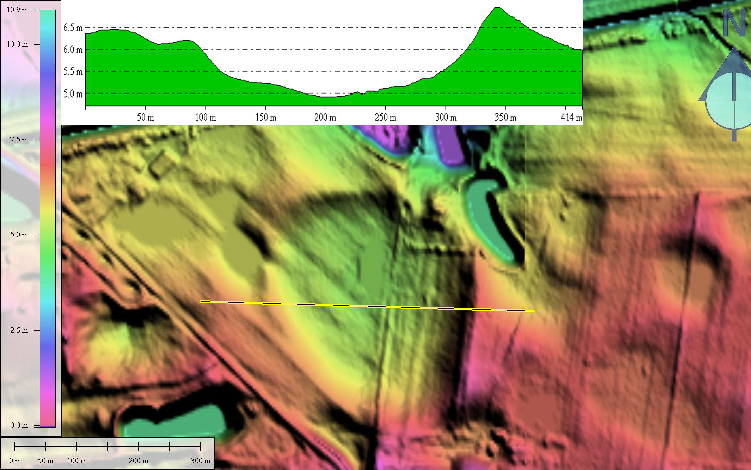
- Elevation: 4.93 m
- Planform: bayBell
- Effective Diameter: 280.51 m
Copyright 2018 by Michael Davias