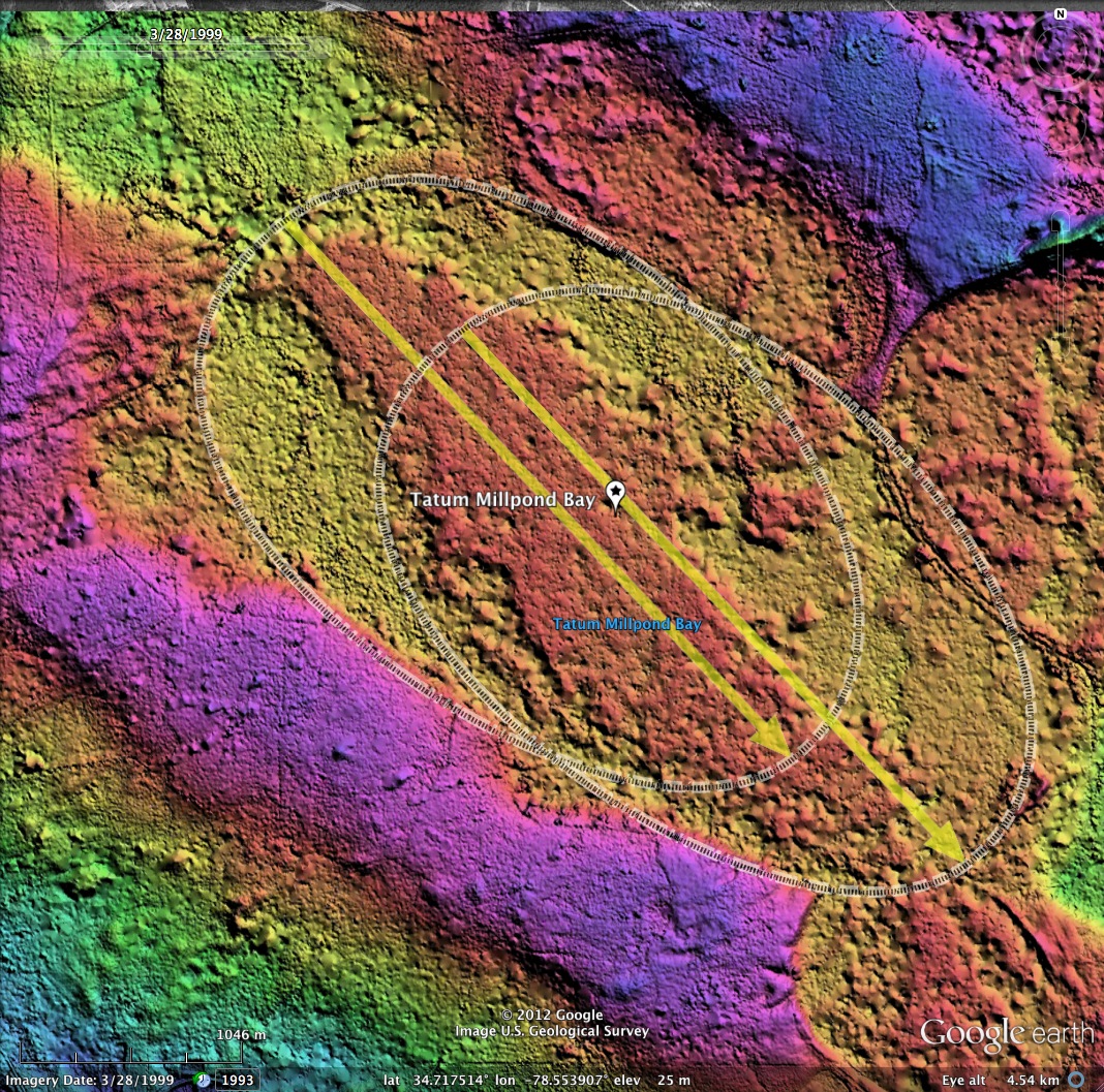
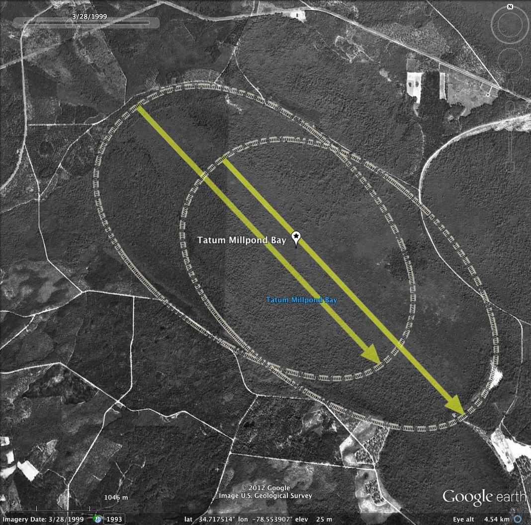
Tatum Millpond Bay, NC
The bay identified in USGS topographic maps is seen in the LiDAR imagery as the assemblage of two Bay Archetype shapes. Note the elongated shape and the slight kickpoints where the two shapes overlap.
This bay was researched by Chee Saunders in the 1980s.
In the past, Tatum Millpond Bay was selectively logged for Atlantic White Cedar (Chamaecyparis thyoides L.) between 1938 and 1954 (Lees, 2004).
Typical vegetation found at the reference sites included tree species such as Pond Pine (Pinus serotina L.), Swamp Tupelo (Nyssa Biflora L.), Loblolly Bay (Gordonia lasianthus L.), Sweetbay (Magnolia virginiana L.), and Swamp Red Bay (Persea palustris L.) The understory consisted of Gallberry (Ilex coriacea L.), Giant Cane (Arundinaria gigantean L.), Fetterbush (Lyonia lucida L.), Coastal Sweet-pepperbush (Clethera alnifolia L.), Highbush Blueberry (Vaccinium corymbosum L.), and Green Briar (Smilax laurifolia L.) (Lees, 2004).
- Index #: 138314_8618
- Location: 34.715362973059364,-78.54563023365597
- Major: 3.53 km . . . Minor: 2.25 km
- Eccentricity: 0.768
- Area: 626.23 hectares
- Bearing: 136.73º
- Elevation: 25.33 m
- Planform: bayCarolina
- Effective Diameter: 2,823.719 m
- Index #: 138314_8721
- Location: 34.71991086306957,-78.55470922872956
- Major: 3.55 km . . . Minor: 2.29 km
- Eccentricity: 0.763
- Area: 641.45 hectares
- Bearing: 136.73º
- Elevation: 25.18 m
- Planform: bayCarolina
- Effective Diameter: 2,857.827 m
Copyright 2018 by Michael Davias