Pondtown Bay, MD
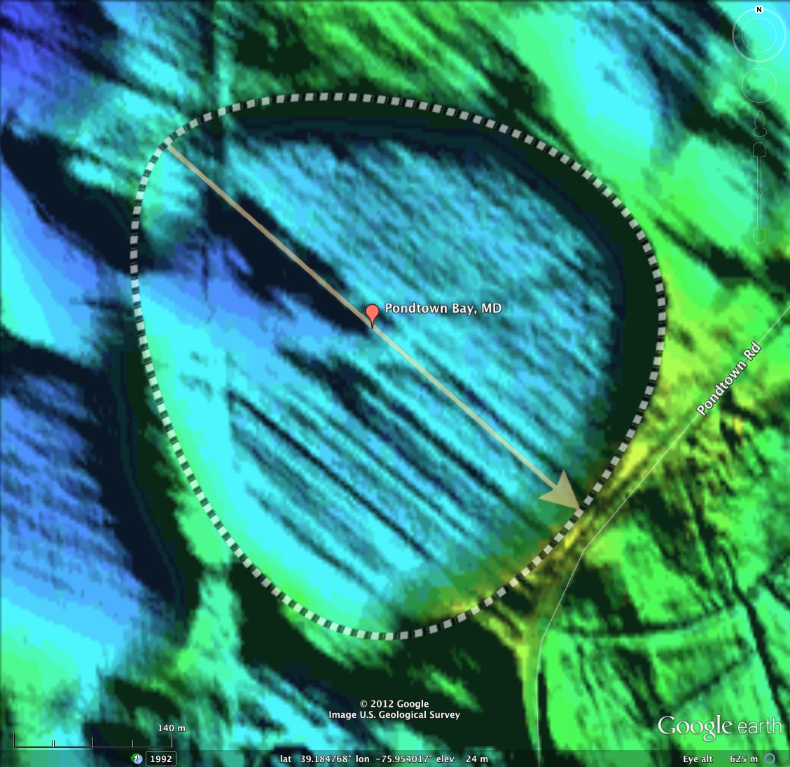
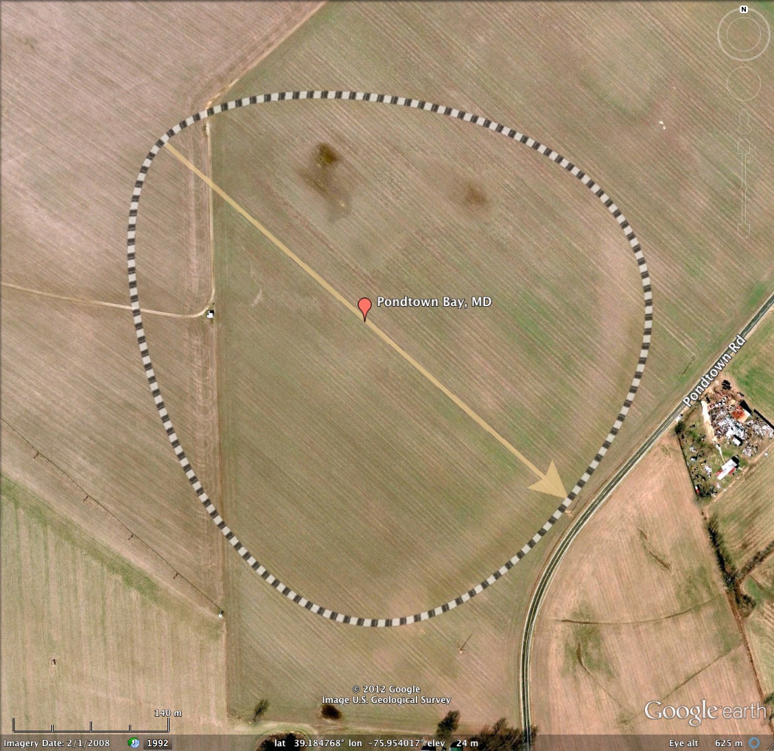
The bays found north of Virginia on the DelMarVa Peninsula and New Jersey are seen to follow the “bayBell" archetype shape. Here is a good example of the genera, found 30 miles east of Baltimore on Maryland's Eastern Shore. The bay measures 1/2 kilometer across, and is fully employed in agricultural use.
The USGS has no name for this depression in their topographic map database, so I named it after the road which approaches the bay from the south and veers off to the northeast when it encounters the bay. As it does so, Pondtown road passes over the bay's rim, at the location I took the panoramic photo you see in the album here.
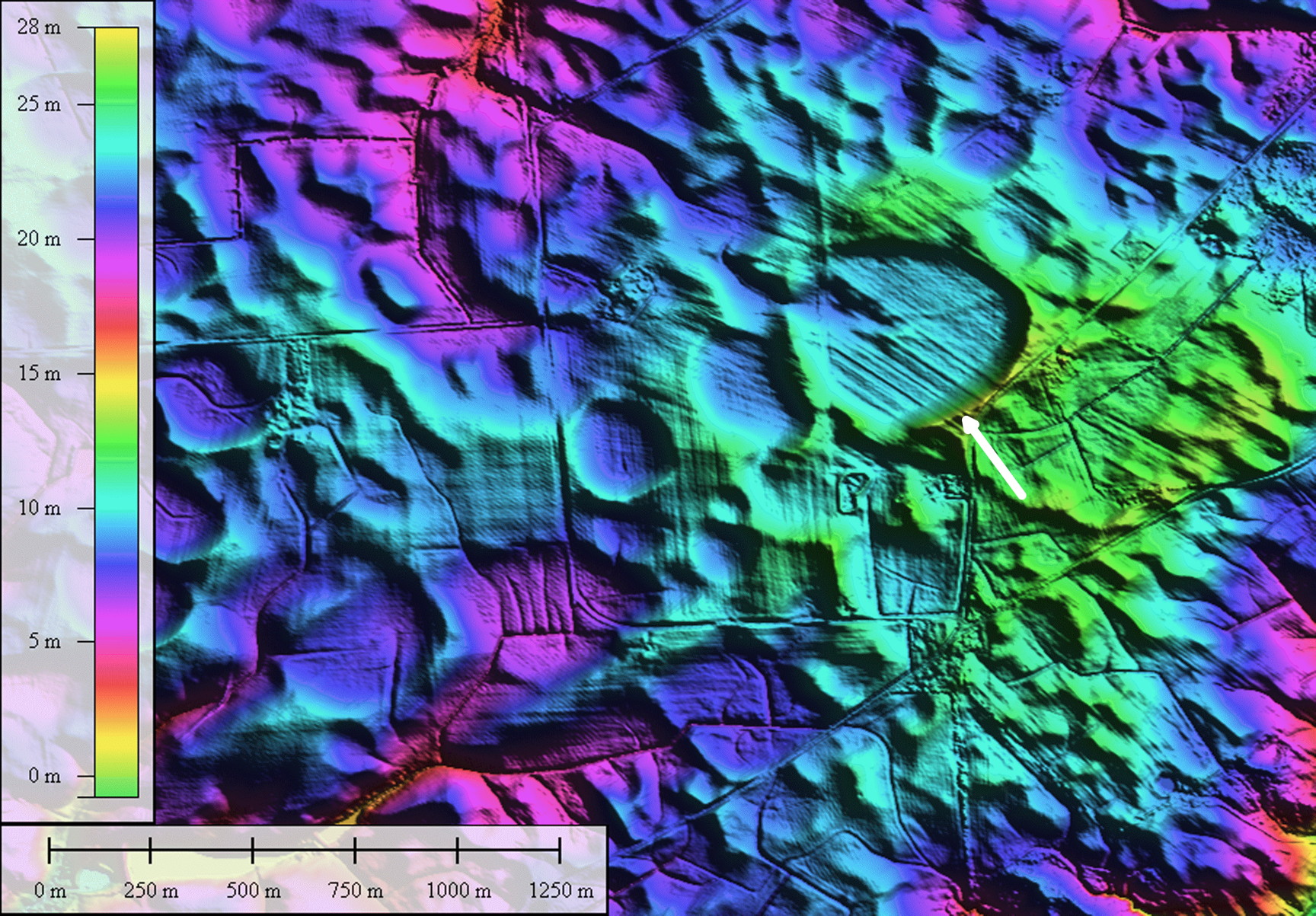
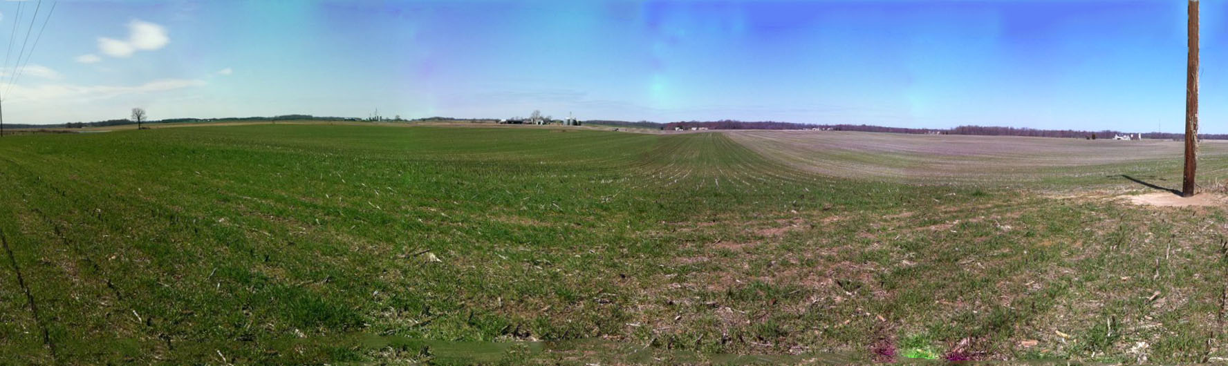
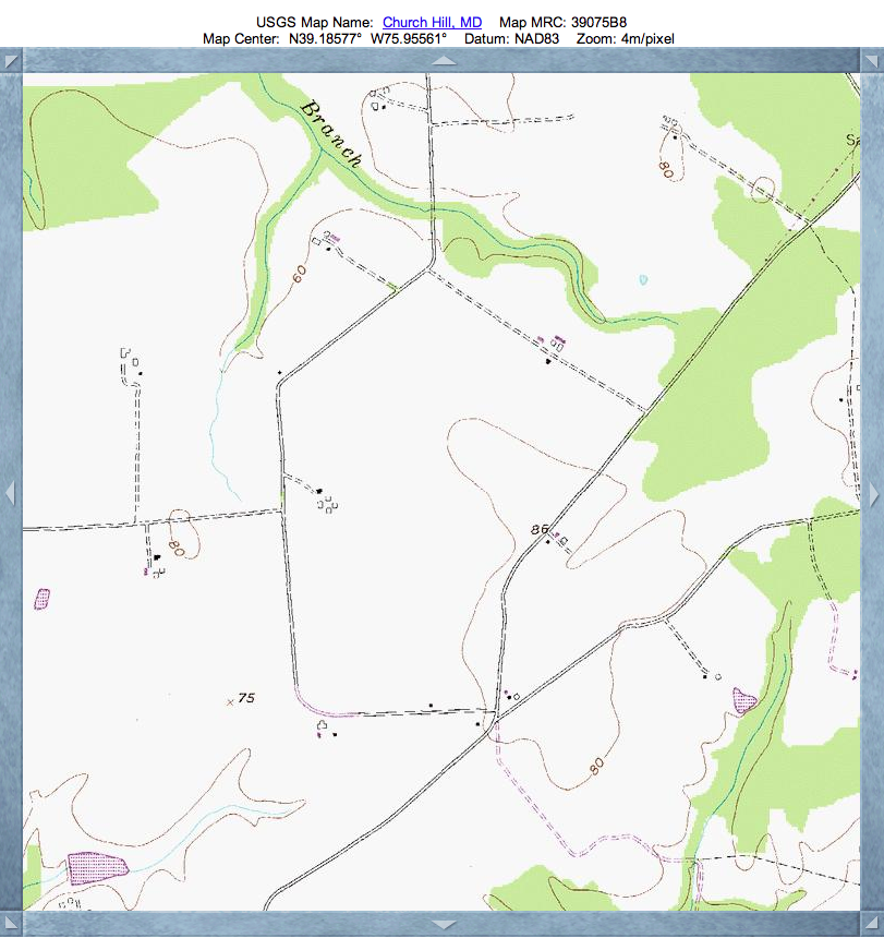
The panoramic photo does an adequate job of presenting these bay's gentle shape, but the viewer has to lend a sharp eye to follow the corn stalk stub rows down and then up on the far side. But, that's about all that will be seen to suggest the bowl-shaped landform. The 20x elevation exaggeration in the LiDAR can find these, but the topographic map, attached, does not do an adequate job representing it.
The LiDAR imagery shows a plethora of these gentle depressions in the immediate area, although this is the largest.
The USGS has no name for this depression in their topographic map database, so I named it after the road which approaches the bay from the south and veers off to the northeast when it encounters the bay. As it does so, Pondtown road passes over the bay's rim, at the location I took the panoramic photo you see in the album here.
The panoramic photo does an adequate job of presenting these bay's gentle shape, but the viewer has to lend a sharp eye to follow the corn stalk stub rows down and then up on the far side. But, that's about all that will be seen to suggest the bowl-shaped landform. The 20x elevation exaggeration in the LiDAR can find these, but the topographic map, attached, does not do an adequate job representing it.
The LiDAR imagery shows a plethora of these gentle depressions in the immediate area, although this is the largest.
- Index #: 156303_7481
- Location: 39.18519737352486,-75.95424440001283
- Major: 0.49 km . . . Minor: 0.46 km
- Eccentricity: 0.357
- Area: 18.02 hectares
- Bearing: 132.51º
- Elevation: 22.92 m
- Planform: bayBell
- Effective Diameter: 478.996 m
Copyright 2018 by Michael Davias