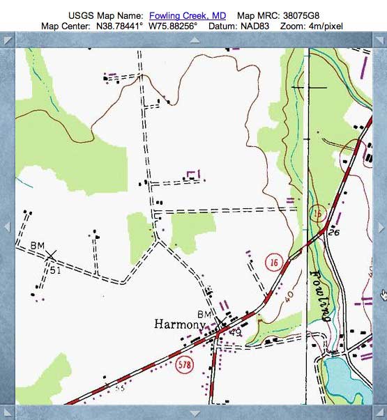
Harmony Bay, MD
Presented today is a delicate, small bay in Caroline County, Maryland. The name was selected by me to reflect the hamlet to the immediate south.
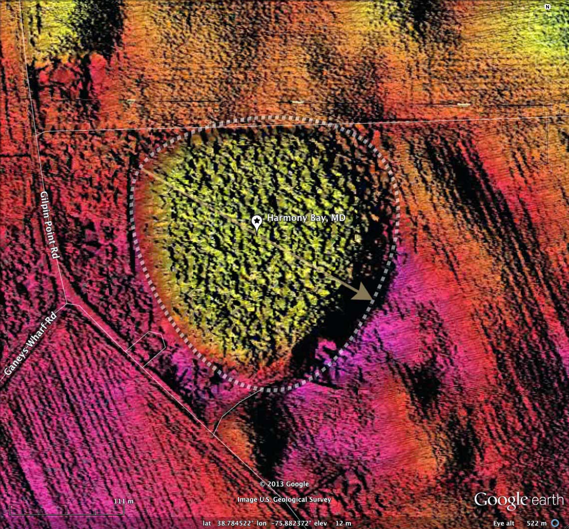
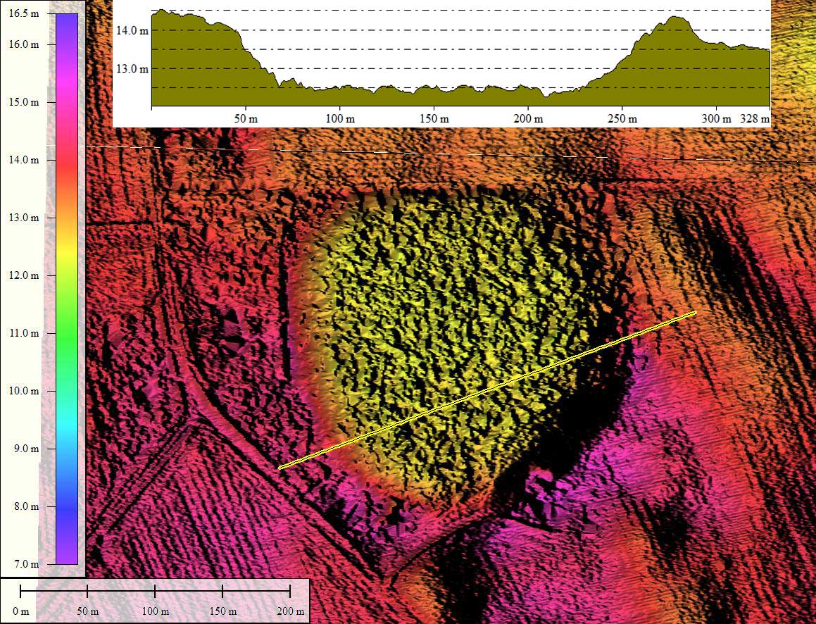
With an average diameter of around 250 meters, it does not merit many pixels in a 3-meter grid LiDAR elevation map, so I grabbed some raw LiDAR point cloud data from 2006 and generated more detailed 1-meter grid imagery.
In either case, its shape, depth and orientation are clearly measurable using LiDAR. I applied the bayBell archetype template, and found it a good fit. The orientation is similar to other bays on the upper DelMarVa Peninsula.
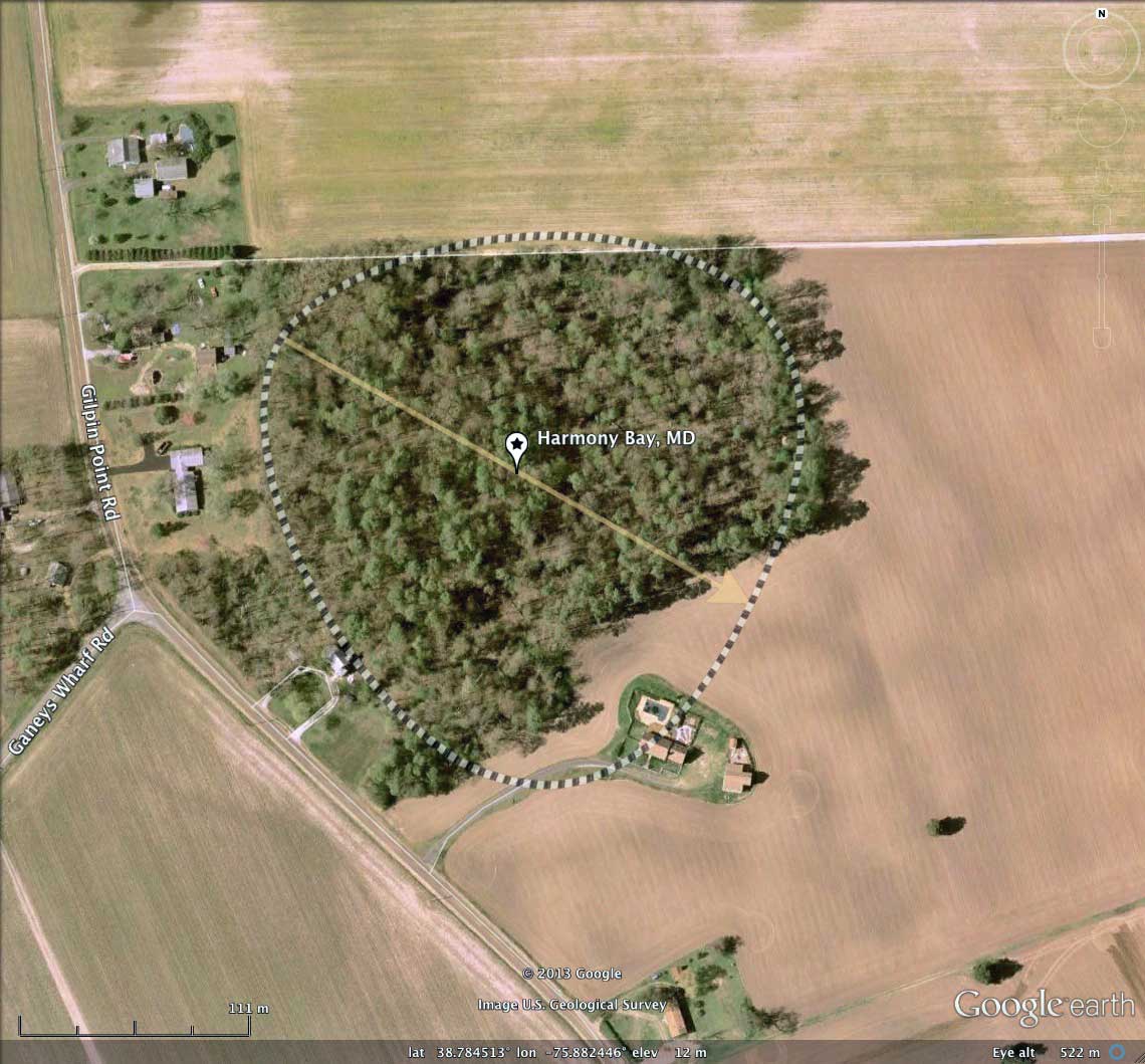
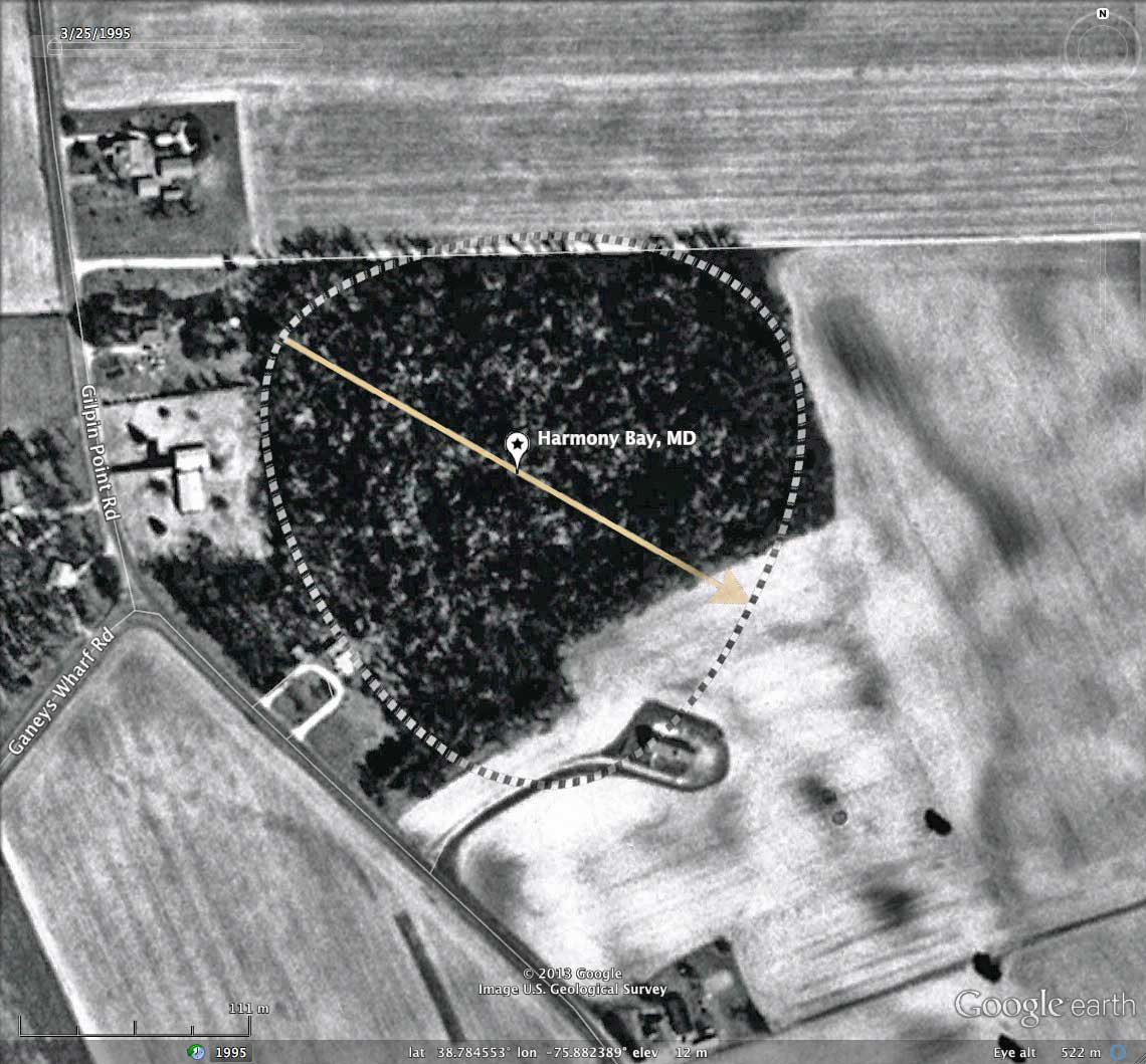
Harmony Bay has a depth of a full 2 meters or more, which considering its small size is interesting. The LiDAR shows no obvious ditching, so I would guess this bay has standing water quite often. It is under a dense tree canopy, so its state can not be assessed from the remote sensing data.
My Survey has identified and measured over 300 such gentle depressions in _octant 155303_ , and their location and metrics can be reviewed a web browser using the Fusion Table visualization: http://cintos.org/FusionMap/155303
With an average diameter of around 250 meters, it does not merit many pixels in a 3-meter grid LiDAR elevation map, so I grabbed some raw LiDAR point cloud data from 2006 and generated more detailed 1-meter grid imagery.
In either case, its shape, depth and orientation are clearly measurable using LiDAR. I applied the bayBell archetype template, and found it a good fit. The orientation is similar to other bays on the upper DelMarVa Peninsula.
Harmony Bay has a depth of a full 2 meters or more, which considering its small size is interesting. The LiDAR shows no obvious ditching, so I would guess this bay has standing water quite often. It is under a dense tree canopy, so its state can not be assessed from the remote sensing data.
My Survey has identified and measured over 300 such gentle depressions in _octant 155303_ , and their location and metrics can be reviewed a web browser using the Fusion Table visualization: http://cintos.org/FusionMap/155303
- Index #: 155303_1352
- Location: 38.784422969569505,-75.88238044952394
- Major: 0.26 km . . . Minor: 0.27 km
- Eccentricity: 0.0
- Area: 5.65 hectares
- Bearing: 120.77º
- Elevation: 12.37 m
- Archetype: bayBell
- Effective Diameter: 268.212 m
Copyright 2018 by Michael Davias