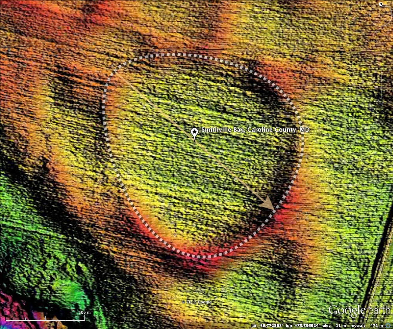
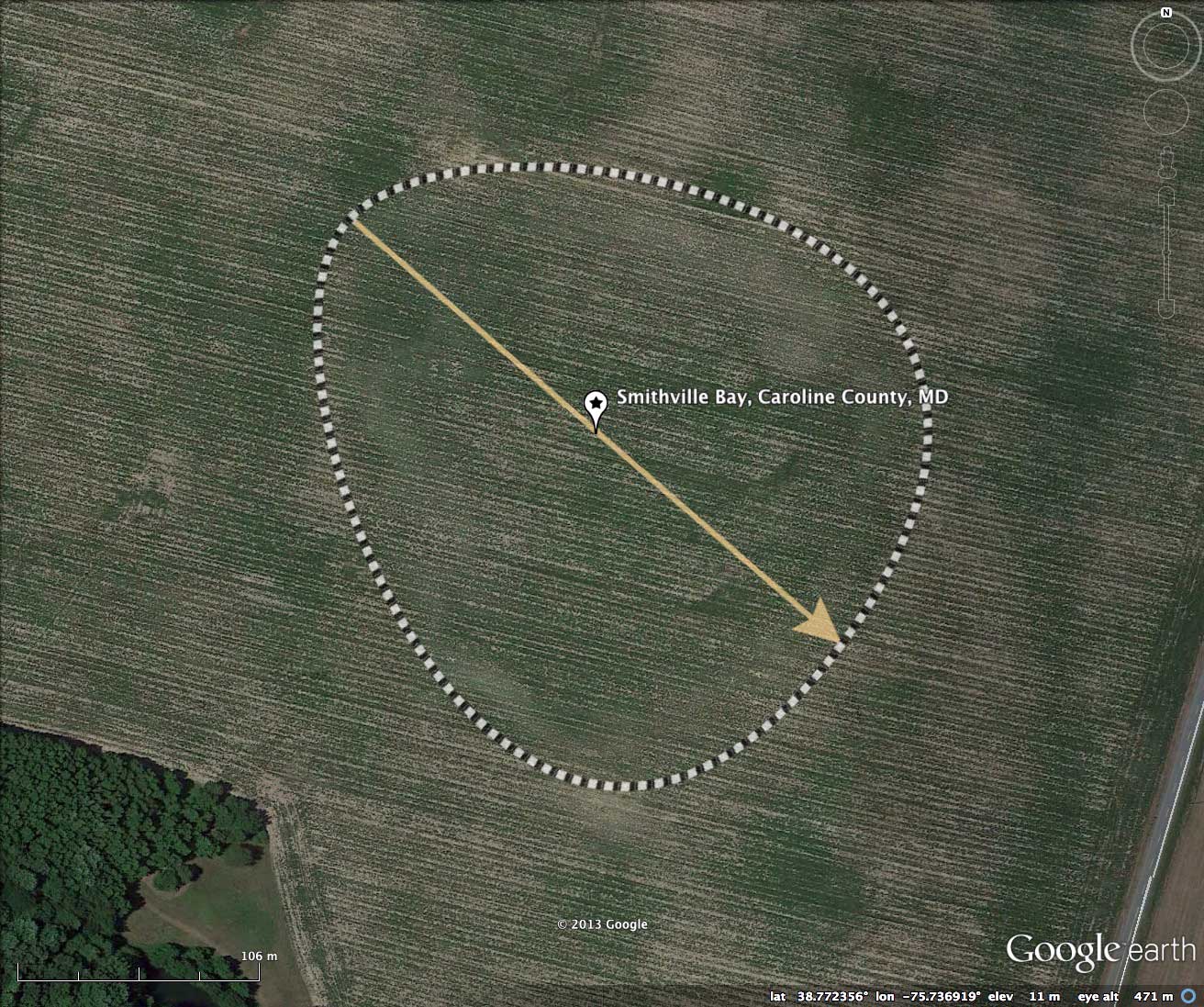
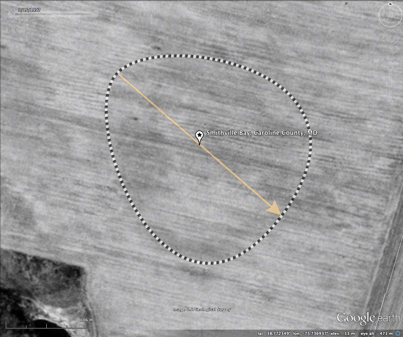
Smithville Bay, Caroline County, MD
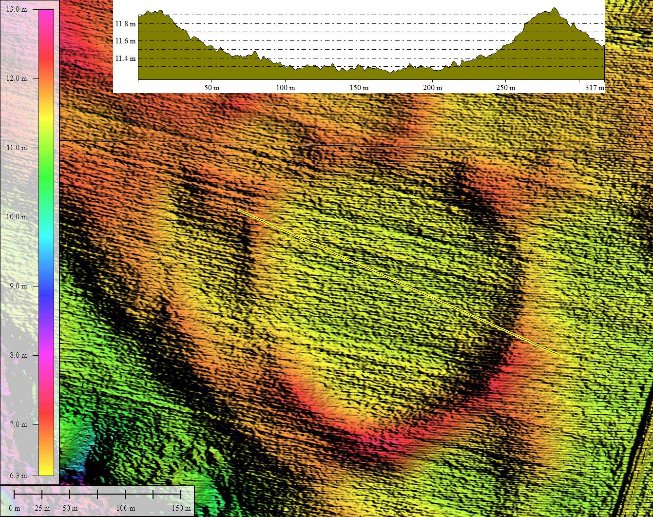
Today's bay is a gentle depression in the central DelMarVa Peninsula, and it is formed in a perfect bayBell archetype shape. The elevation profile map tells us that the rim is typically less than a meter above the center of the bay, and that the bay is an almost perfectly bowl-shaped. There seems to be no drainage channels, and the surface is entirely cultivated farmland.
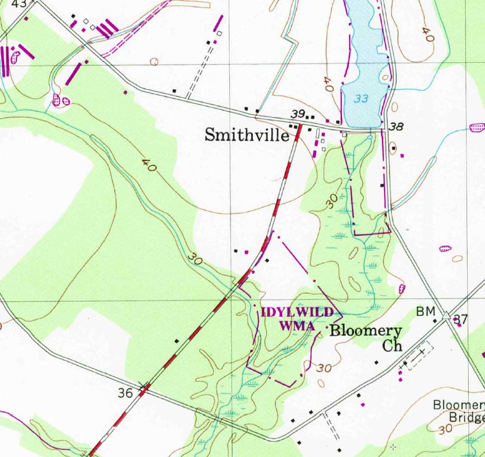
There is no standardized USGS geoname for this landform, so I gave it the name "Smithville" after the road which passes just to the east.
The Carolina Bay Survey has identified and measured over 650 bays in Octant 155302. Their location and metrics can be referenced through a Fusion Table spatial visualization.
- Index #: 155302_0894
- Location: 38.7722438566291,-75.73693619726845
- Major: 0.27 km . . . Minor: 0.24 km
- Eccentricity: 0.442
- Area: 5.33 hectares
- Bearing: 131.99º
- Elevation: 11.23 m
- Archetype: bayBell
- Effective Diameter: 260.506 m
Copyright 2018 by Michael Davias