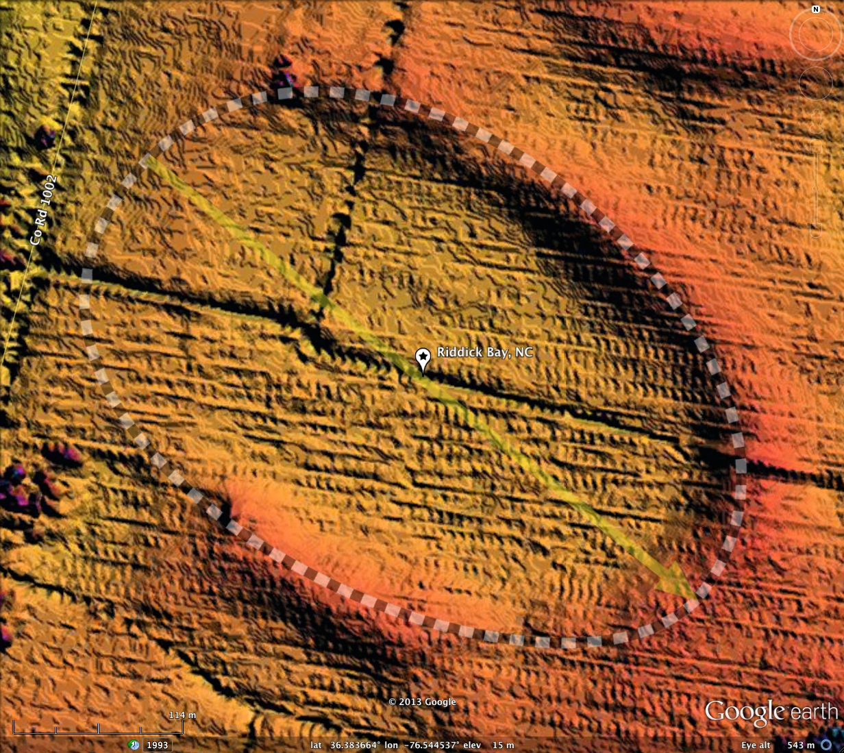
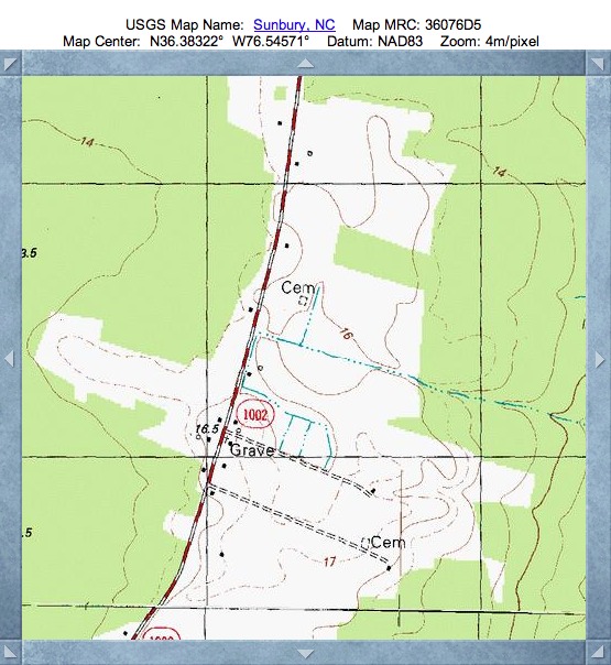
Riddick Bay, NC
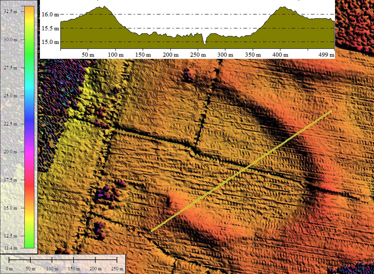
The LiDAR imagery used here is derived from higher resolution NOAA data, but trees are occasional an impediment. Most of this bay is free of trees, so it is well imaged. The common bayCarolina archetype shape fits well, and its orientation is similar to other bays in the area. Selection of this bay is cautionary, as the western rim is not well expressed. If it were not for the shape fit, and the orientation conforming to others, it might be interpreted as a parabolic dune.
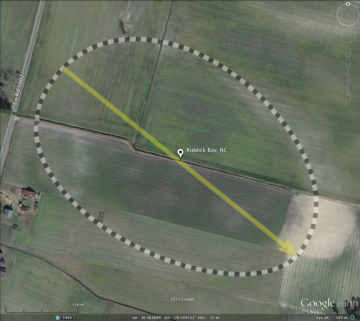
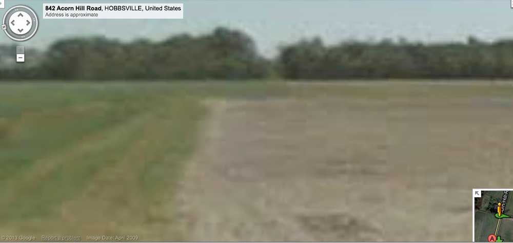
Riddick Bay is named after an historical landowner. A drainage channel is present, flowing out to the west along the farm road. The view along this drainage ditch, in towards the bay from Co Rd 1002, is shown in the Streetview imagery in the album, and via the placemark in the KMZ file. An optimistic viewer might envision the bay rim rising up just in front of the tree line in the distance.
Streetview Browsing LINK
- Index #: 145306_5317
- Location: 36.38358242091766,-76.54456542566444
- Major: 0.48 km . . . Minor: 0.32 km
- Eccentricity: 0.736
- Area: 12.4 hectares
- Bearing: 128.77º
- Elevation: 14.47 m
- Archetype: bayCarolina
- Effective Diameter: 397.343 m
Copyright 2018 by Michael Davias