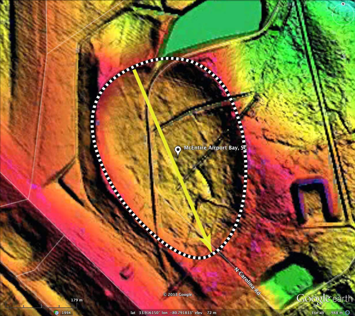
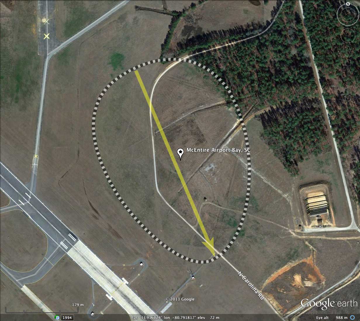
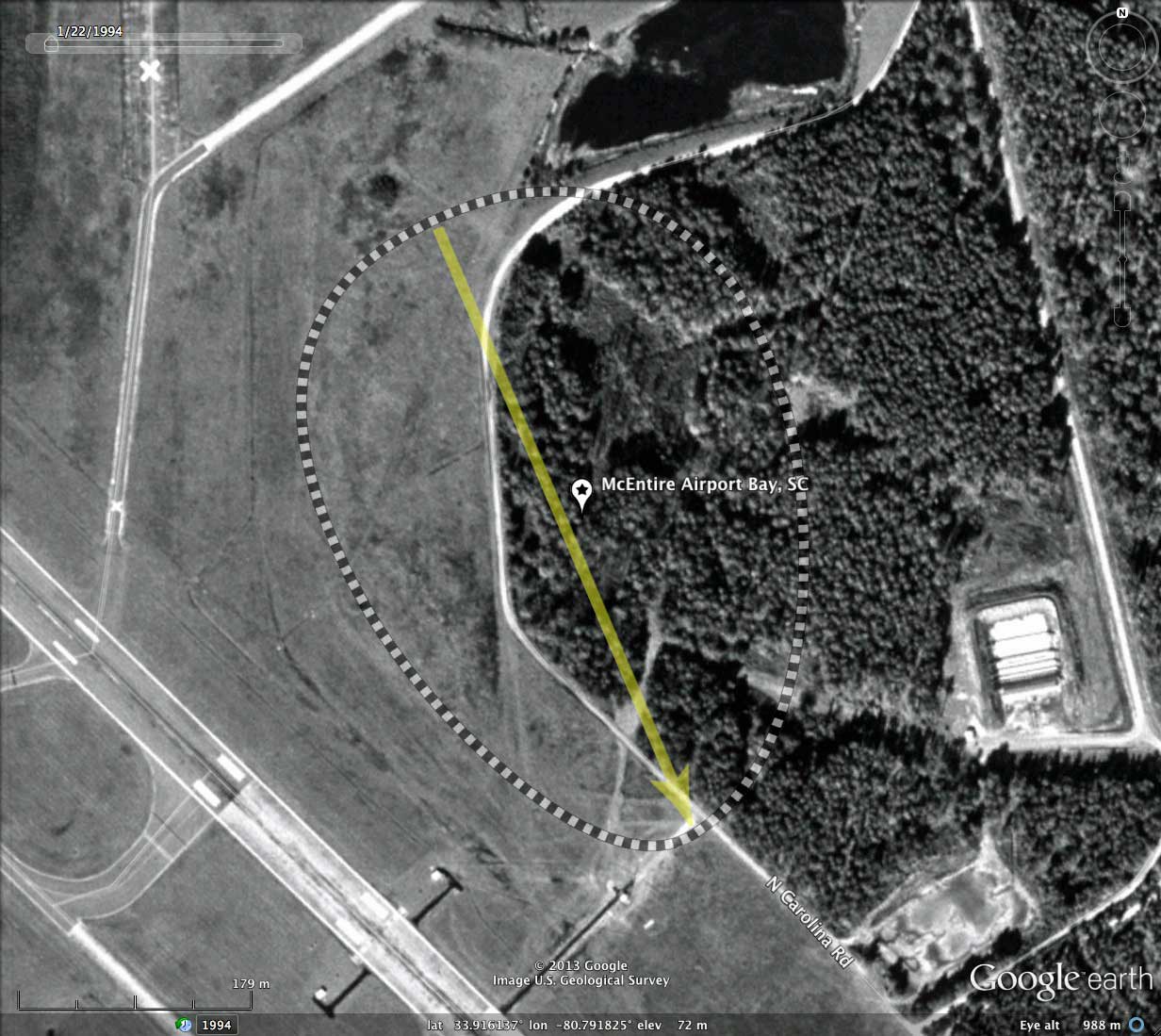
McEntire Airport Bay, SC
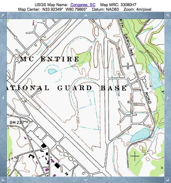
Today's bay is snuggled up against the runways at Richland, South Carolina's McEntire Air National Guard Station. Although the bay's landscape looks to have been "cleared", the rim is well expressed in the LiDAR. The Bay-South archetype measurement overlay is an excellent fit here, and the orientation is similar to that of other bays nearby.
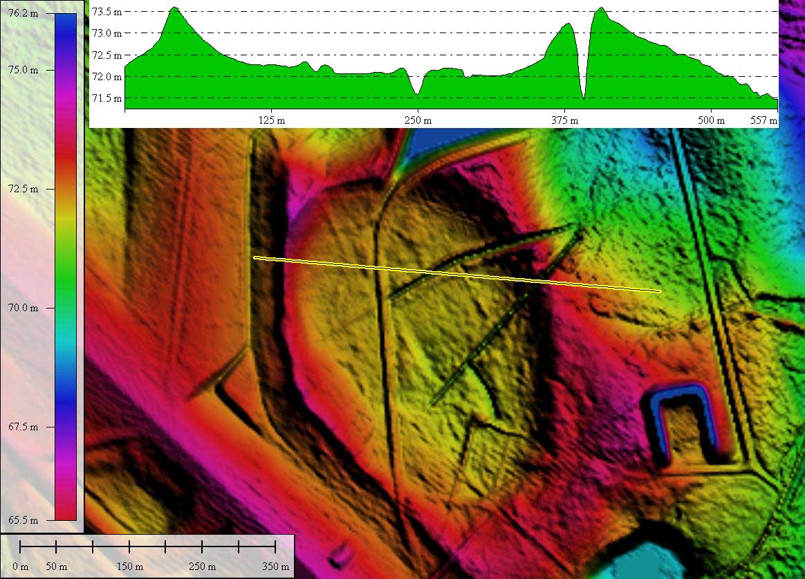
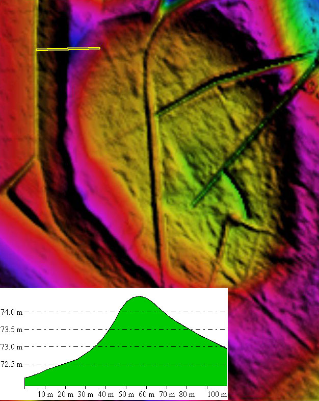
The bay is a potential site to take extensive rim samples, as the entire outside half of the western rim was excised over a distance of 1/2 kilometer. A transect across the rim shows a 2.5 meter rise over less than 40 meters, as documented in the detailed LiDAR image in the album. The entire western slope should provide easily-accessible sample locations from "within" the rim.
Additionally, the drain has a deep drainage network, which crosses the eastern rim at two locations at cuts of over 6 feet, as seen in the LiDAR data. Both of these sites are also good prospects for sample locations.
Another bay, partially clipped by a taxiway, exists along the runaway, 500 meters to the northeast. I find the ability of Carolina Bay landforms to retain their characteristic shape and rim profile against the onslaught of man and machine to be quite amazing.
- Index #: 135323_6616
- Location: 33.91596439955581,-80.79181355176632
- Major: 0.51 km . . . Minor: 0.37 km
- Eccentricity: 0.7
- Area: 15.1 hectares
- Bearing: 156.96º
- Elevation: 71.53 m
- Archetype: baySouth
- Effective Diameter: 438.473 m
Copyright 2018 by Michael Davias