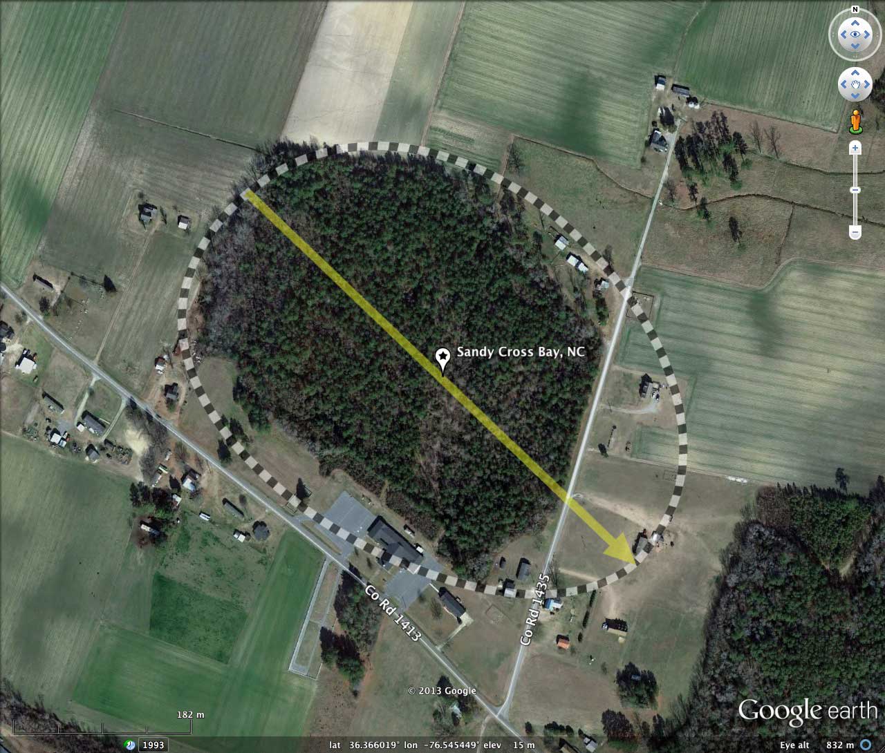
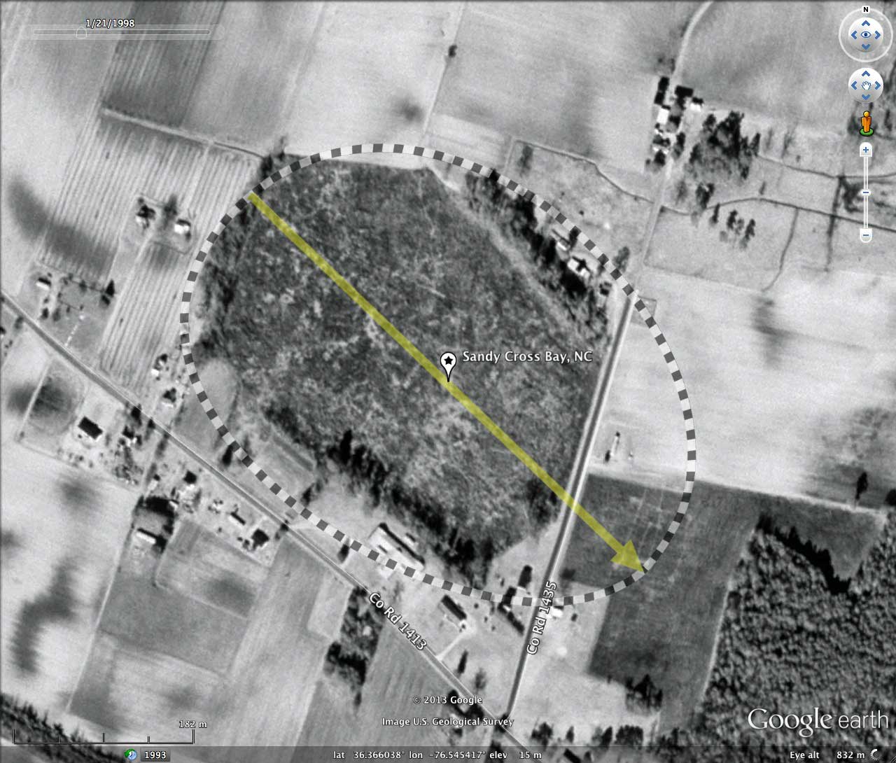
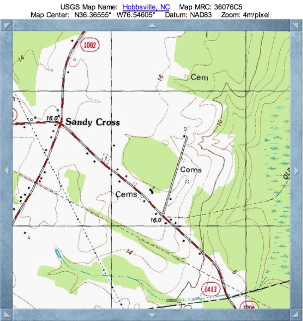
Sandy Cross Bay, NC
Sandy Cross Bay was named by me after the nearby USGS locale (see Topographic Map in album), and the road which passes just south of the bay.
It is one of numerous bays scattered along a north-south trending escarpment known as the Suffolk Scarp, which is the remnant of an old line of beach dunes left when the ocean was last at this elevation, about 350,000 to 500,000 years ago. The scarp currently sits about 25 feet above sea level, and in some places is more than 75 miles from the current location of the Atlantic Ocean. Such dating allows setting a not-older-than age constraint of 500,000 years for Carolina bay formation. To the east and west of the ridge are lowlands having elevation of under 5 meters AMSL, upon which no well-formed Carolina bays are seen.
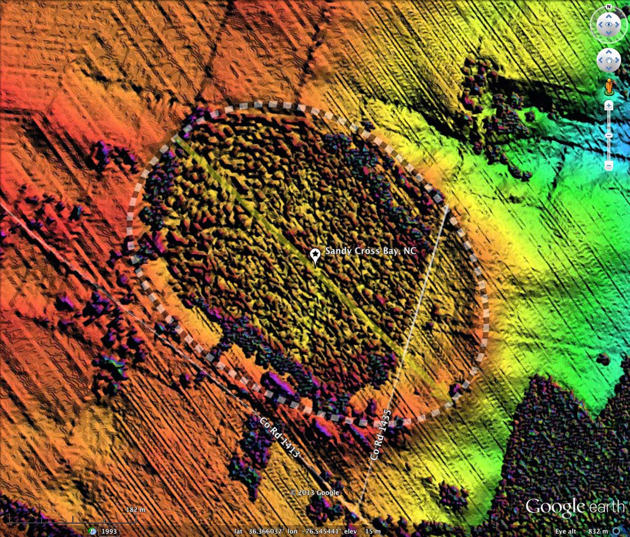
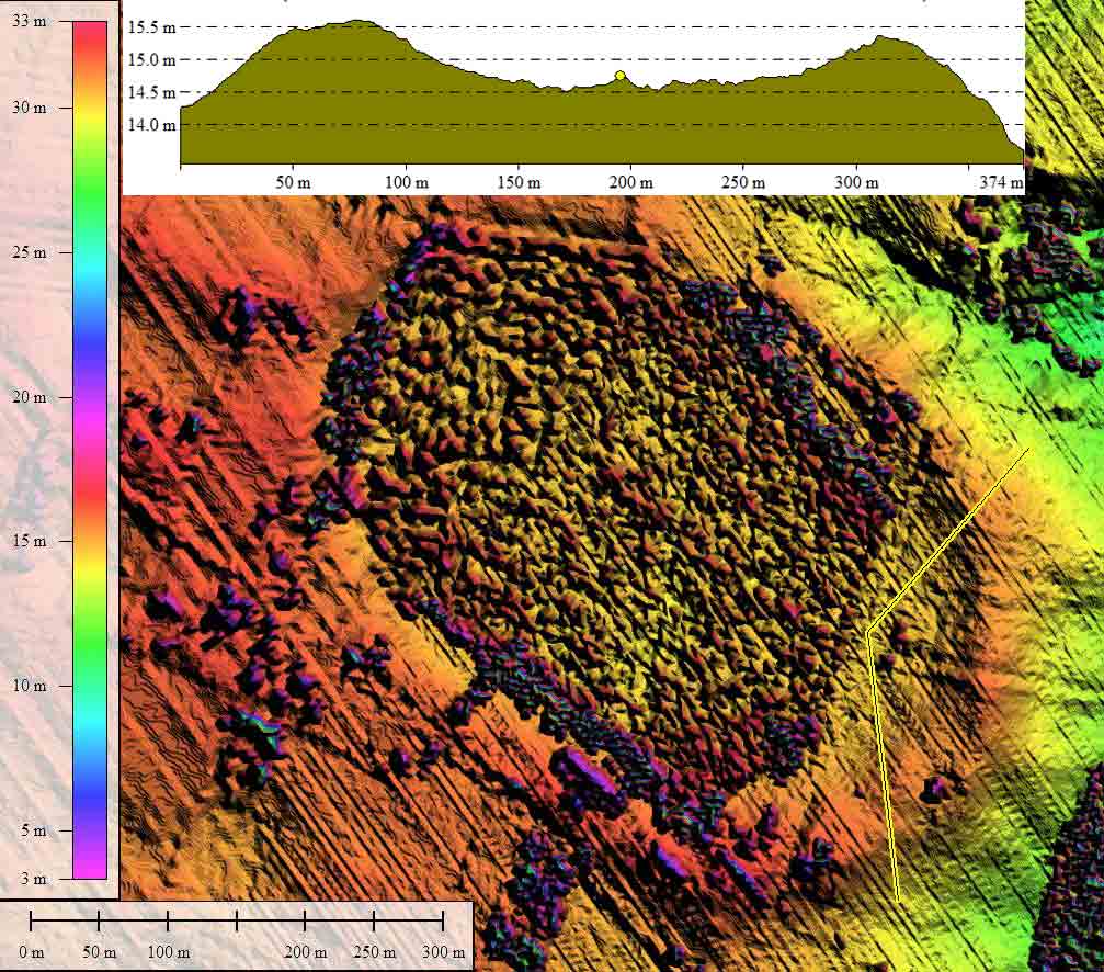
Sub meter NOAA-sourced LiDAR elevation data was used to produce this elevation map. The data set allows for good detail on bare ground, but no vegetation classification was done, so forested areas are problematic. The rim here is well expressed, allowing for fitting of the bayCarolina archetype shape, in spite of the dense vegetation across the bay floor. The bay's shape and orientation are similar to other bays in the area.
It is one of numerous bays scattered along a north-south trending escarpment known as the Suffolk Scarp, which is the remnant of an old line of beach dunes left when the ocean was last at this elevation, about 350,000 to 500,000 years ago. The scarp currently sits about 25 feet above sea level, and in some places is more than 75 miles from the current location of the Atlantic Ocean. Such dating allows setting a not-older-than age constraint of 500,000 years for Carolina bay formation. To the east and west of the ridge are lowlands having elevation of under 5 meters AMSL, upon which no well-formed Carolina bays are seen.
Sub meter NOAA-sourced LiDAR elevation data was used to produce this elevation map. The data set allows for good detail on bare ground, but no vegetation classification was done, so forested areas are problematic. The rim here is well expressed, allowing for fitting of the bayCarolina archetype shape, in spite of the dense vegetation across the bay floor. The bay's shape and orientation are similar to other bays in the area.
- Index #145306_4618
- Location: 36.365872283222686,-76.54542092095198
- Major: 0.55 km . . . Minor: 0.4 km
- Eccentricity: 0.683
- Area: 17.9 hectares
- Bearing: 133.82º
- Elevation: 14.42 m
- Archetype: bayCarolina
- Effective Diameter: 477.399 m