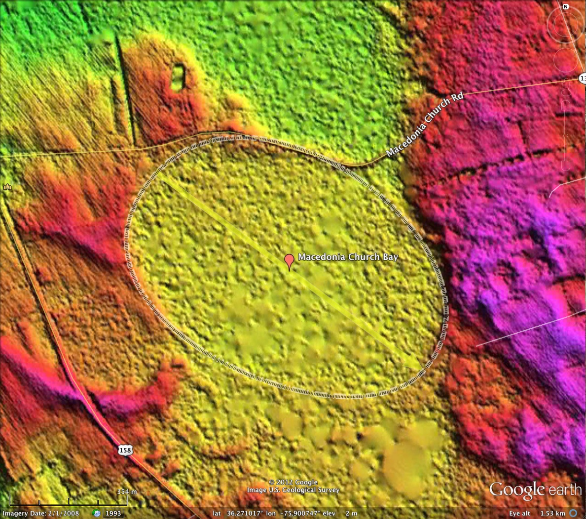
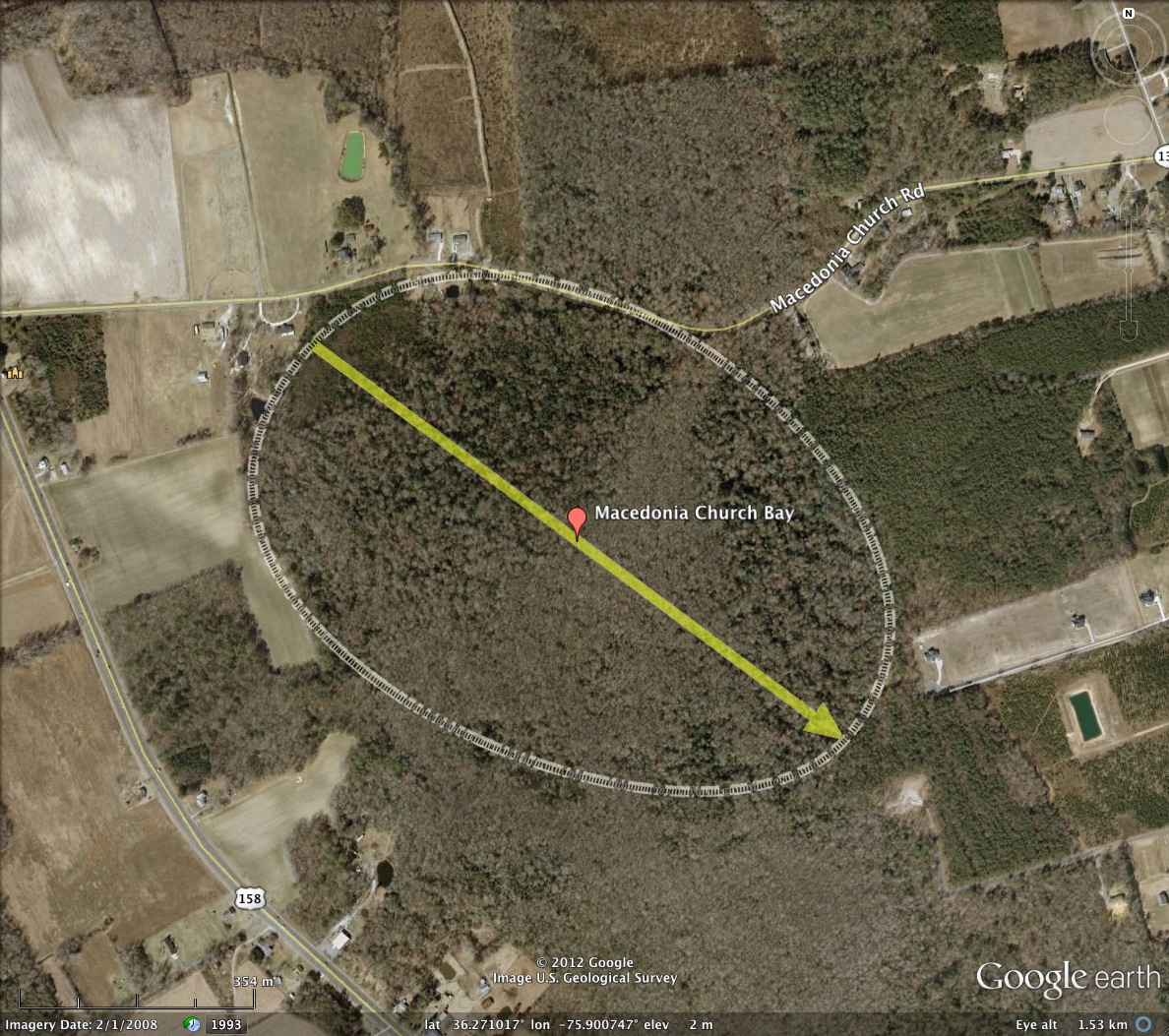
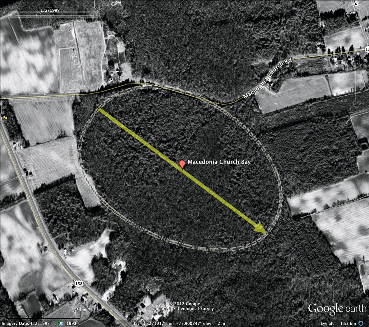
Macedonia Church Bay, NC
The slender ridge of land which extends as a backbone down Currituck County's peninsula is peppered with Carolina Bays. Geologically, it is know as Powell's Point Ridge.
The present example was named by me after the short road which warps around its northern rim. The bay rim follows the bayCarolina archetype shape, as does its neighboring bays along the ridge. No man-made incursions are obvious in either the LiDAR nor the satellite imagery.
Mallinson, Burdette, Mahan and George Brook undertook an expansive review of the geological structure of Powell's Point Ridge, along with neighboring ridges and shorelines across Currituck County. Reference LINK.
- Index #: 145303_0860
- Location: 36.27069092894345,-75.9008880583338
- Major: 1.01 km . . . Minor: 0.71 km
- Eccentricity: 0.714
- Area: 56.92 hectares
- Bearing: 126.67º
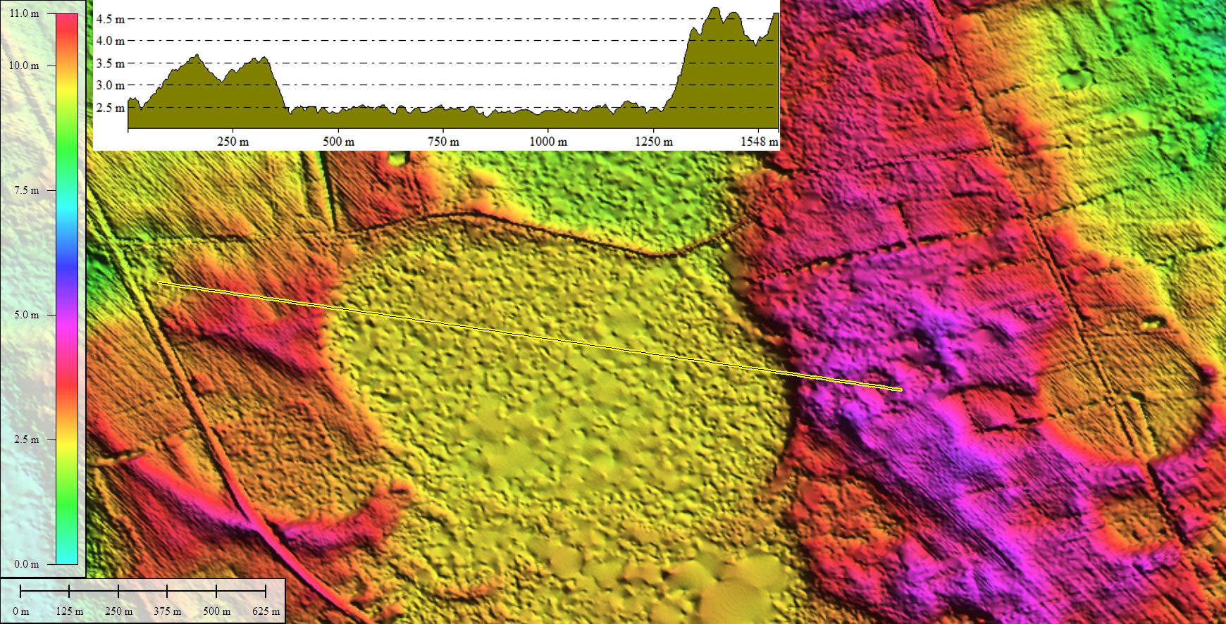
- Elevation: 2.36 m
- Planform: bayCarolina
- Effective Diameter: 851.309 m
The Land of Promise and Powell's Point Ridges exhibit a classic transgressive coastal succession of a basal peat overlain by overwash facies, grading upward into eolian facies.
Sediments from Roanoke Island, the Hickory Shoreline, the Land of Promise Ridge, and Powell's Point Ridge overlap statistically and range from 62 ka to 41 ka... These ages were initially unexpected, as we were working under the hypothesis that these paleoshorelines were of MIS 5a age.
Several younger ages of 34 to 12.5 ka were obtained from reworked (via eolian reactivation or bioturbation) sediments above a paleosol horizon in Powell's Point Ridge, and are associated with Carolina Bay sediments, which mantle the surface of the area.
Mallinson, et al, 2007
Copyright 2018 by Michael Davias