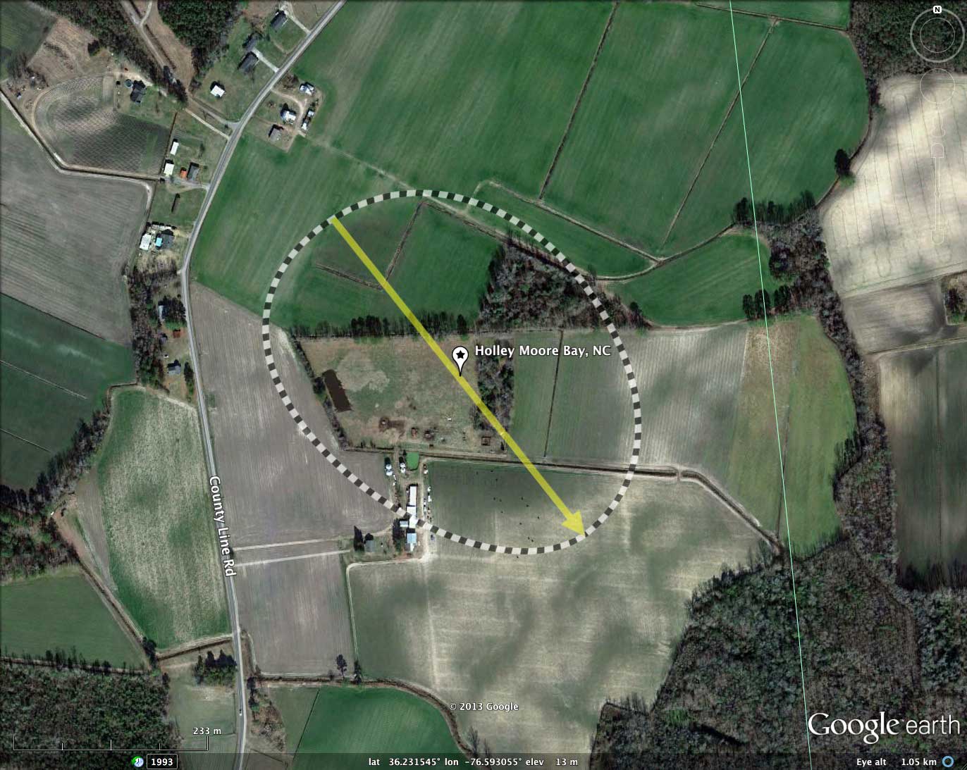
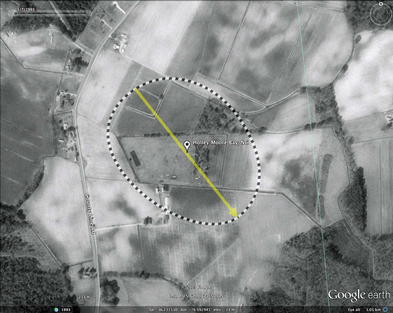
Holley Moore Bay, NC
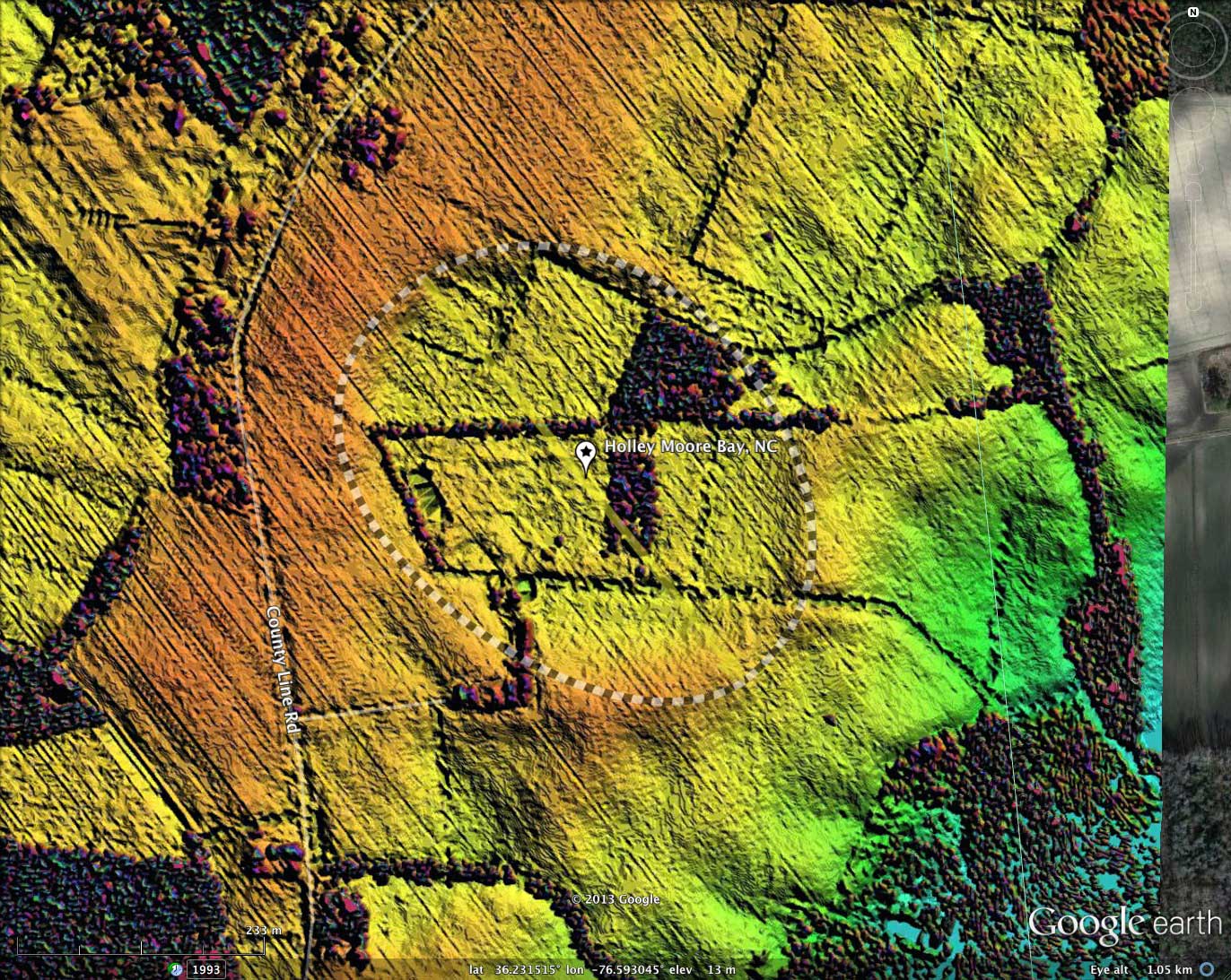
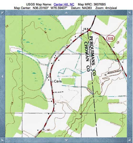
I named this small, low relief bay after two historical landowners, as identified by a USGS cemetery placename located on the raised northwest rim.
It is one of numerous bays scattered along a north-south trending escarpment known as the Suffolk Scarp, which is the remnant of an old line of beach dunes left when the ocean was last at this elevation, about 350,000 to 500,000 years ago. The scarp currently sits about 25 feet above sea level, and in some places is more than 75 miles from the current location of the Atlantic Ocean. To the east and west of the ridge are lowlands having elevation of under 5 meters AMSL, upon which no well-formed Carolina bays are seen.
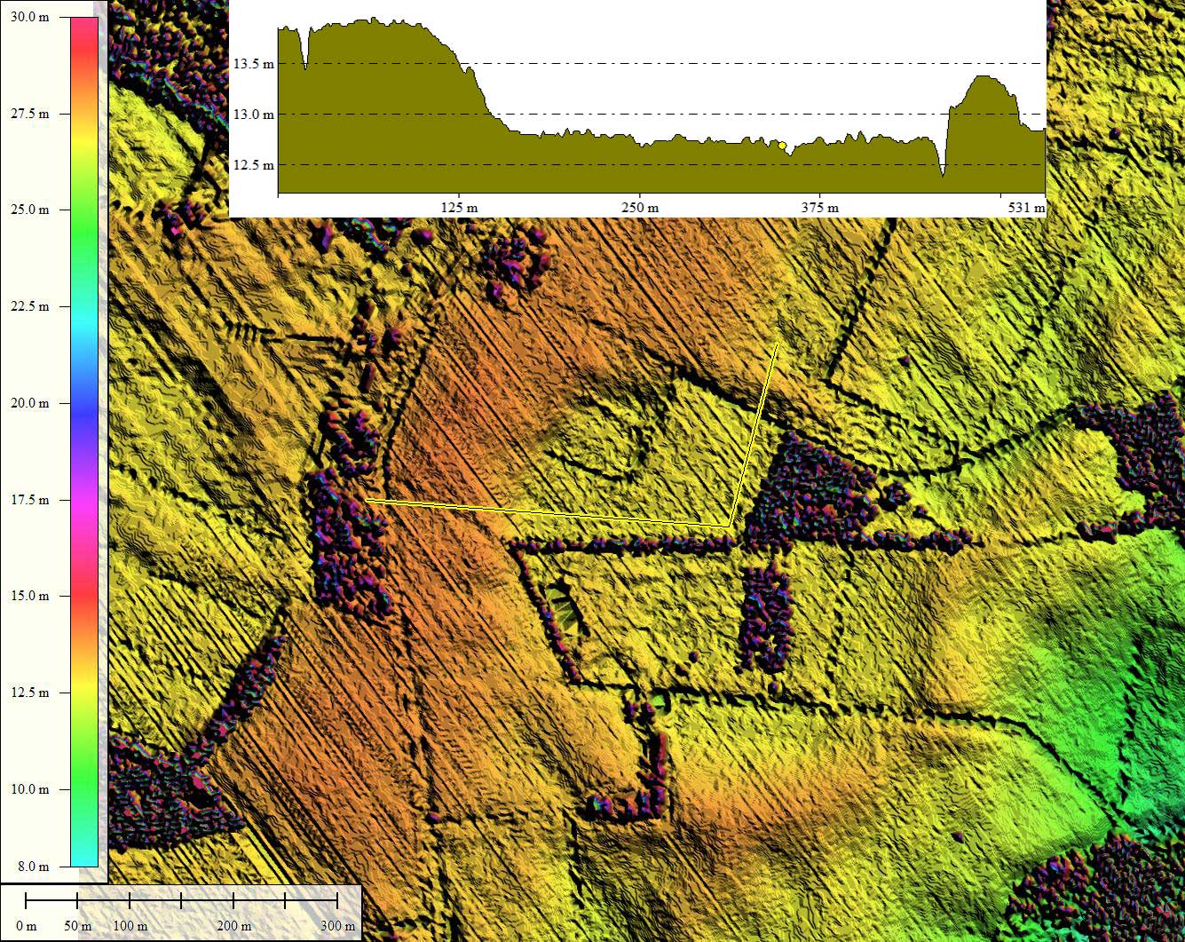
Sub meter NOAA-sourced LiDAR elevation data was used to produce this elevation map. The data set allows for good detail on bare ground, but no vegetation classification was done, so forested areas are problematic. The rim here is well expressed, allowing for fitting of the common Bay archetype shape, in spite of scattered high canopy trees across the bay floor. The bay's shape and orientation are similar to other bays in the area.
The Survey has identified and measured 25 bays in octant 144306, and their location and metrics can be reviewed a web browser using the Fusion Table visualization LINK.
It is one of numerous bays scattered along a north-south trending escarpment known as the Suffolk Scarp, which is the remnant of an old line of beach dunes left when the ocean was last at this elevation, about 350,000 to 500,000 years ago. The scarp currently sits about 25 feet above sea level, and in some places is more than 75 miles from the current location of the Atlantic Ocean. To the east and west of the ridge are lowlands having elevation of under 5 meters AMSL, upon which no well-formed Carolina bays are seen.
Sub meter NOAA-sourced LiDAR elevation data was used to produce this elevation map. The data set allows for good detail on bare ground, but no vegetation classification was done, so forested areas are problematic. The rim here is well expressed, allowing for fitting of the common Bay archetype shape, in spite of scattered high canopy trees across the bay floor. The bay's shape and orientation are similar to other bays in the area.
The Survey has identified and measured 25 bays in octant 144306, and their location and metrics can be reviewed a web browser using the Fusion Table visualization LINK.
- Index #: 144306_9237
- Location: 36.231343166532966,-76.59302645298712
- Major: 0.49 km . . . Minor: 0.38 km
- Eccentricity: 0.639
- Area: 14.75 hectares
- Bearing: 141.57º
- Elevation: 12.78 m
- Archetype: bay
- Effective Diameter: 433.362 m
Copyright 2018 by Michael Davias