Juniper Creek Bay, NC
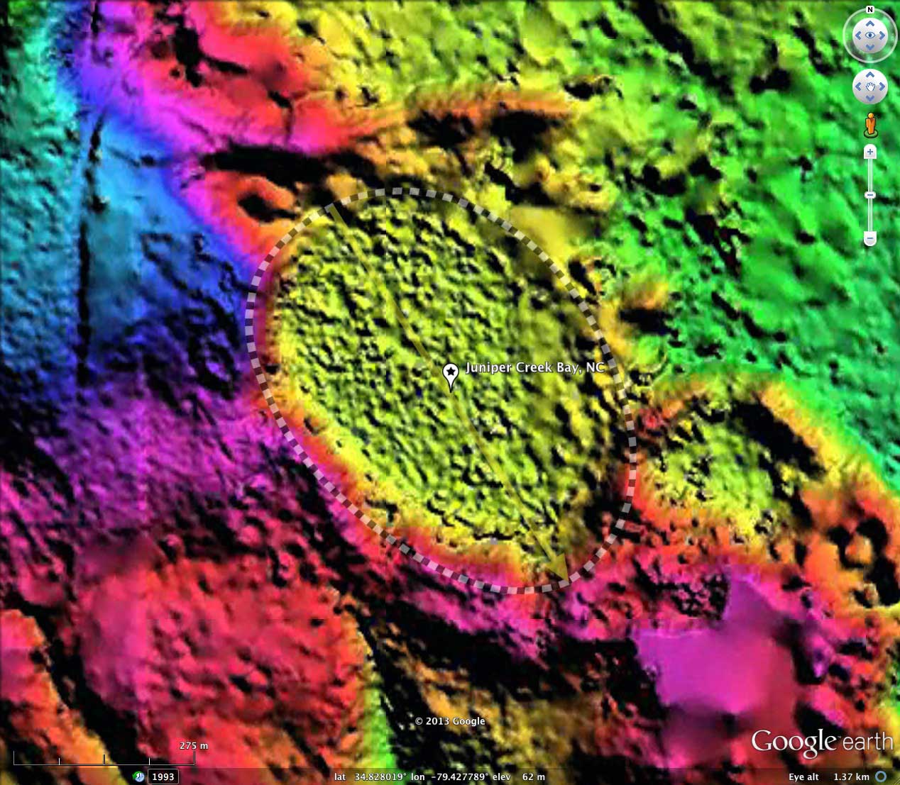
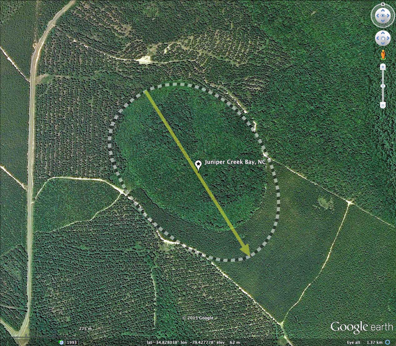
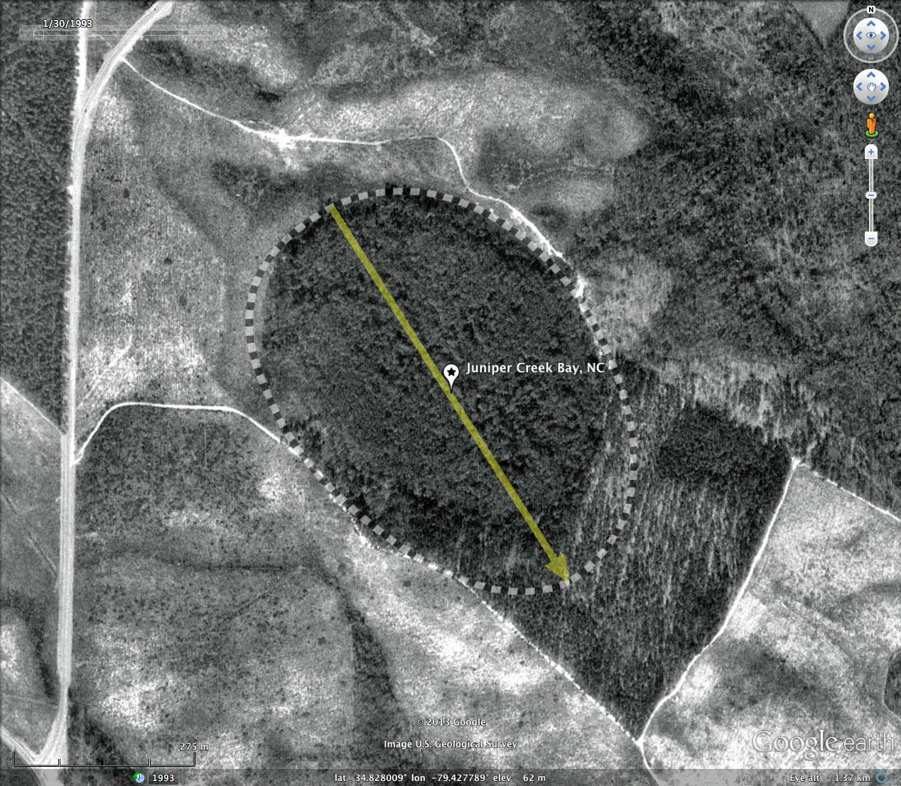
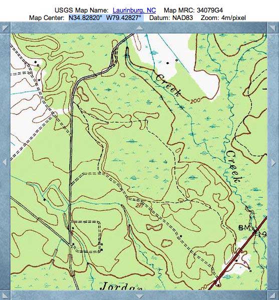
Today's bay is located in Scotland County, NC, along the Juniper Creek lowlands. This is not a named "bay", so I supplied it one referencing the creek. The bay is quite visible in both the USGS Topographic map and the satellite imagery; it really shines in the LiDAR, of course.
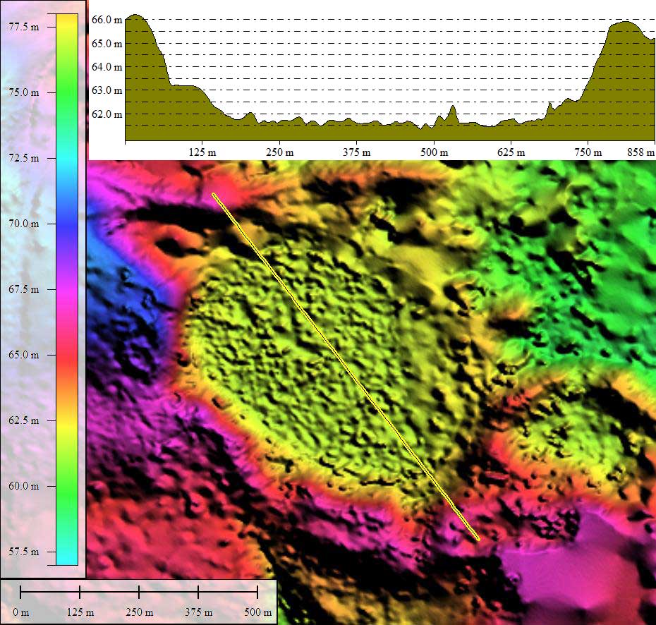
Juniper Creek Bay is a relatively small landform, with an average diameter of under 600 meters. The historical satellite imagery documents the ongoing timber harvesting and planting typical of bays in the area. There are no obvious man-made drainage ditches in the bay, although its eastern wall - where it meets the creek bottomland - is not well expressed, placing its hydraulic floor a meter or so above the creek's.
The bays shape matches the common bayCarolina archetype, and its orientation is similar to other nearby bays. Note that the shape and orientation remains the same as its neighbors', in spite of size or elevation.
The bay's shape as measured by the LiDAR rim expression is different from that seen in the satellite imagery, which only tracks the wetland area within. This is often seen, and is one reason why the bays orientations are often reported as slightly chaotic, rather than as rigorously systematic by latitude and longitude.
- Index #: 139317_3171
- Location: 34.827781297542494,-79.4278012779074
- Major: 0.68 km . . . Minor: 0.49 km
- Eccentricity: 0.693
- Area: 26.18 hectares
- Bearing: 147.68º
- Elevation: 61.65 m
- Archetype: bay
- Effective Diameter: 577.35 m
Copyright 2018 by Michael Davias