Idlewood Bay, GA
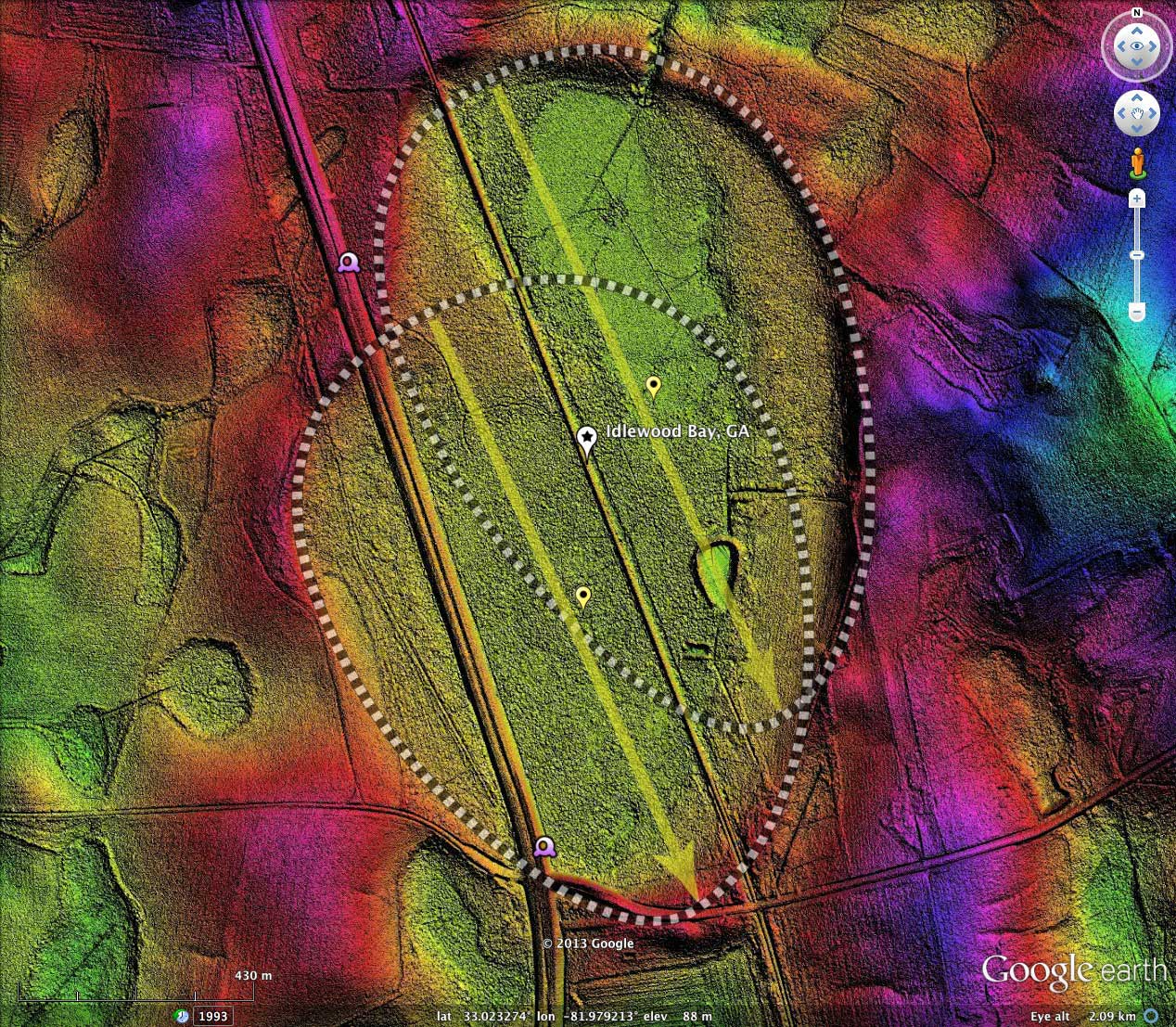
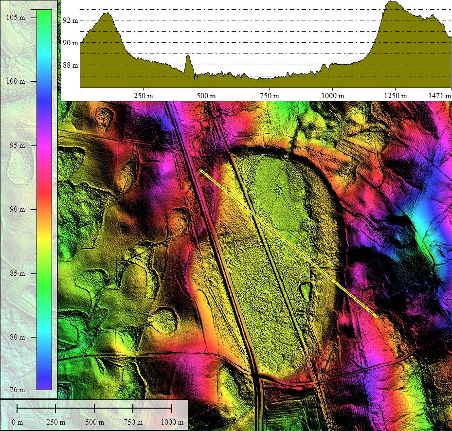
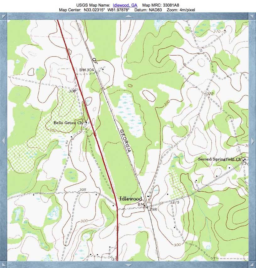
Idlewood Bay is located along US Route 25, 8 kilometers south of Waynesboro, Georgia. The divided highway slices right across the western side of the bay. I interpret the shape of the gentle depression to be the mashup of two individual baySouth archetypes, slightly offset N-S and E-W. As depicted in my measurement mapping, these two shapes have the same orientation: 155.51º.
The exquisitely detailed LiDAR imagery was made possible by the availability from NOAA of recent high-spatial resolution LiDAR from Georgia. The raw data is presented in a 25cm grid, although the map overly has been generated with 1 meter grid in the interest of file size.
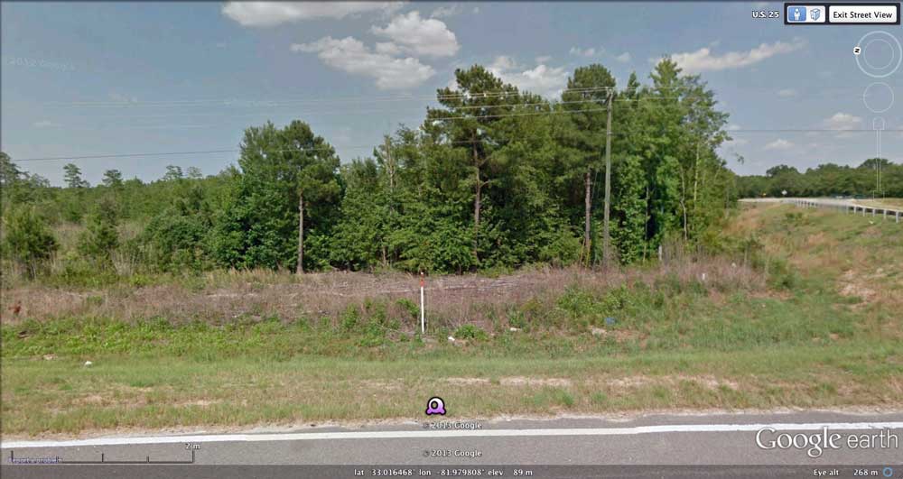
Google Streetview image looking into bay from raised roadbed as it approaches the rim on southern end. Road leading away is going up on rim proper. Streetview url
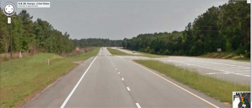
The second Google Streetview is looking south on US 25, showing roadbed dipping into bay in distance. You can see the Rt25 dip interactively in your web browser using this LINK.
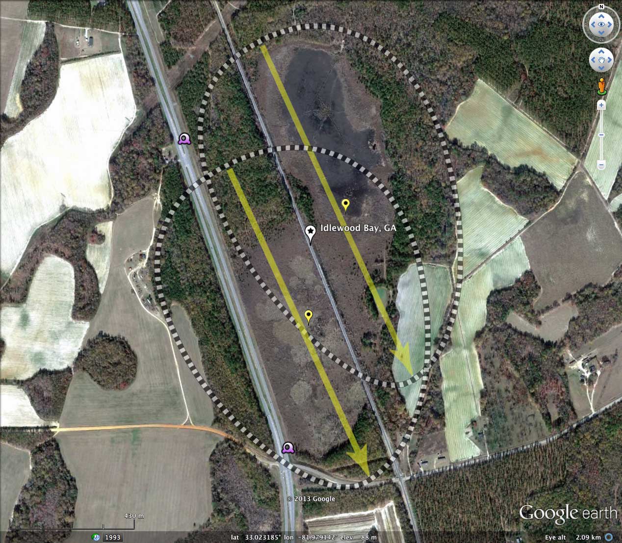
The exquisitely detailed LiDAR imagery was made possible by the availability from NOAA of recent high-spatial resolution LiDAR from Georgia. The raw data is presented in a 25cm grid, although the map overly has been generated with 1 meter grid in the interest of file size.
Google Streetview image looking into bay from raised roadbed as it approaches the rim on southern end. Road leading away is going up on rim proper. Streetview url
The second Google Streetview is looking south on US 25, showing roadbed dipping into bay in distance. You can see the Rt25 dip interactively in your web browser using this LINK.
- Index #: 132327_0991
- Location: 33.024087437207214,-81.97788207608244
- Major: 1.27 km . . . Minor: 0.8 km
- Eccentricity: 0.776
- Area: 80.55 hectares
- Bearing: 155.51º
- Elevation: 87.27 m
- Archetype: baySouth
- Effective Diameter: 1,012.715 m
- Index #: 132327_0891
- Location: 33.02069358861362,-81.97923444783154
- Major: 1.18 km . . . Minor: 0.88 km
- Eccentricity: 0.666
- Area: 82.09 hectares
- Bearing: 155.51º
- Elevation: 87.58 m
- Archetype: baySouth
- Effective Diameter: 1,022.35 m
Copyright 2018 by Michael Davias