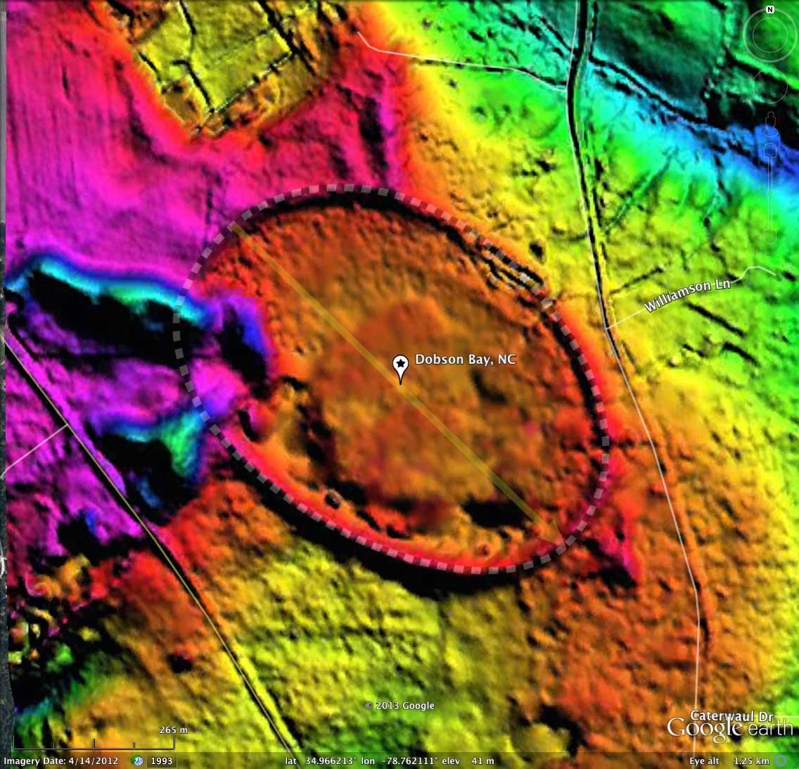
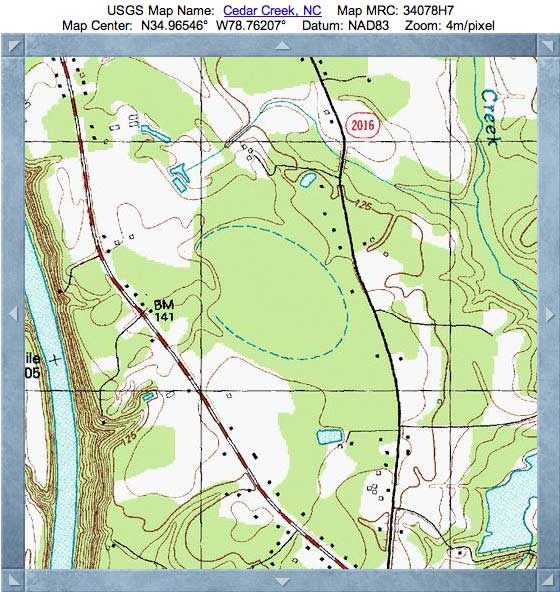
Dobson Bay, NC
This bay cuts a strikingly geometric oval, 750 meters on the major axis - a perfect bayCarolina archetype from our survey set, as demonstrated with the overlay applied in the Google Earth images here. The bay lies on the Waccamaw Terrace, just a short distance east of the Cape Fear River. A small set of wind-driven sand dune features approach the bay from river valley floor, but the rim stands strong and crisp in the LiDAR.
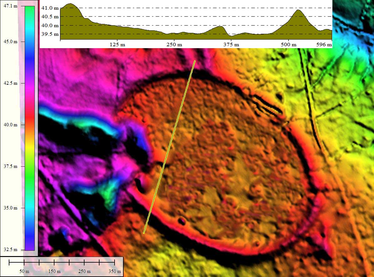
The LiDAR is the older NC State flights from the early 2000s, and the "bare earth" qualities are a bit hampered by the dense vegetation & trees within the bay, resulting in an apparent elevated areas within the bay, which is not seen in the satellite imagery.
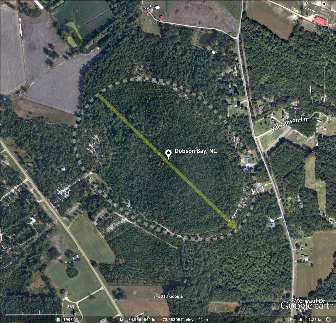
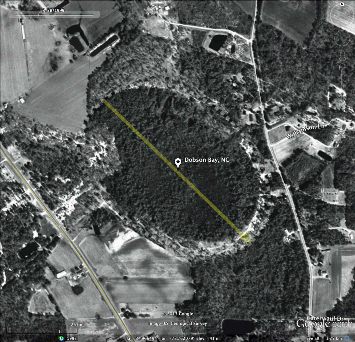
Unlike many Carolina bays, this bay does not seem to have been modified at all by us humans. I sometimes wonder what scale of effort would be required for man to craft such a structure (let alone the thousands just like it in the survey).
The LiDAR is the older NC State flights from the early 2000s, and the "bare earth" qualities are a bit hampered by the dense vegetation & trees within the bay, resulting in an apparent elevated areas within the bay, which is not seen in the satellite imagery.
Unlike many Carolina bays, this bay does not seem to have been modified at all by us humans. I sometimes wonder what scale of effort would be required for man to craft such a structure (let alone the thousands just like it in the survey).
- Index #: 139315_8604
- Location: 34.96621260430699,-78.76211064121875
- Major: 0.76 km . . . Minor: 0.54 km
- Eccentricity: 0.698
- Area: 32.48 hectares
- Bearing: 134.12º
- Elevation: 41.28 m
- Archetype: bayCarolina
- Effective Diameter: 643.076 m
Copyright 2018 by Michael Davias