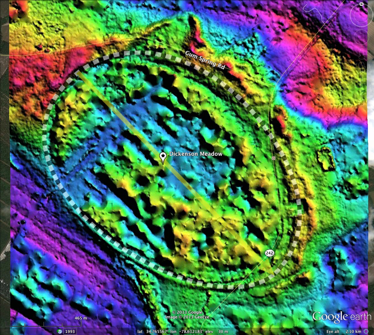
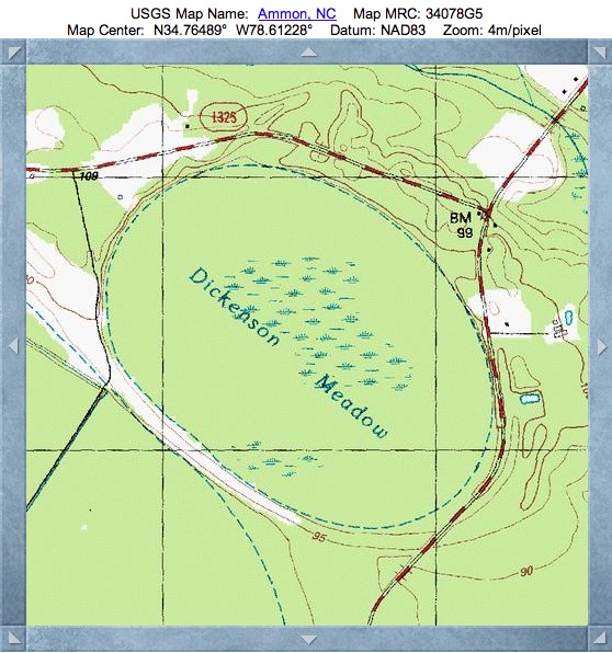
Dickenson Meadow, NC
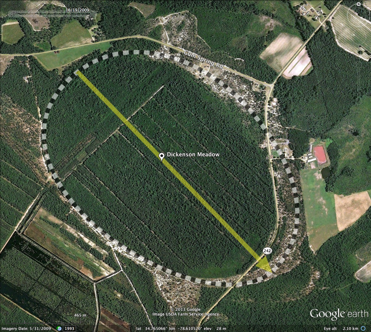
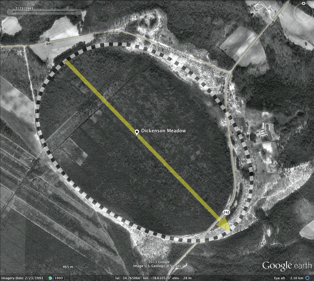
Here is yet another large Carolina Bay in the Cape Fear River Valley. The shape conforms well to the bayCarolina archetype, and presents an orientation similar to others in the area.
The North Carolina LiDAR elevation data, among the earliest to be generated, has problems cutting down through the thick canopies of these bays. The resulting image fails to accurately identify the bare earth points, so Dickenson Meadow Bay looks more like a hilly area, and the barren sandy rims are seen as ditches surrounding the bay.
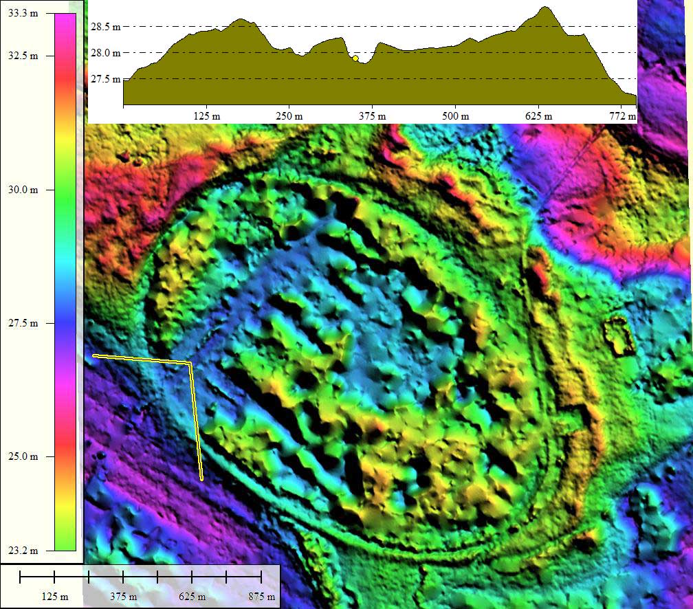
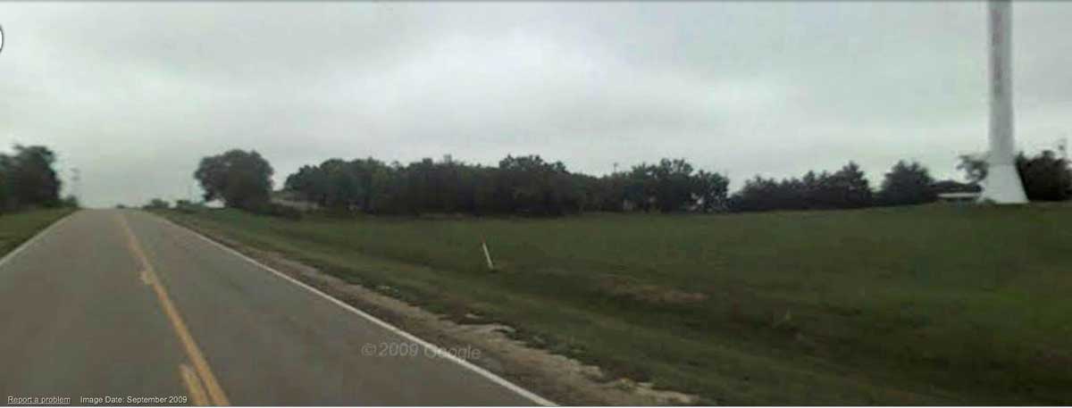
In an attempt to measure the rim profile, a transect was made on the western side of the bay which entered the bay briefly where there is a cleared area, and then back out again. As seen in the attached album image, the rim may have a vertical expression of under a meter at that location.
The North Carolina LiDAR elevation data, among the earliest to be generated, has problems cutting down through the thick canopies of these bays. The resulting image fails to accurately identify the bare earth points, so Dickenson Meadow Bay looks more like a hilly area, and the barren sandy rims are seen as ditches surrounding the bay.
In an attempt to measure the rim profile, a transect was made on the western side of the bay which entered the bay briefly where there is a cleared area, and then back out again. As seen in the attached album image, the rim may have a vertical expression of under a meter at that location.
- Index #: 139314_0544
- Location: 34.76477308000207,-78.61124198801801
- Major: 1.77 km . . . Minor: 1.23 km
- Eccentricity: 0.718
- Area: 171.34 hectares
- Bearing: 136.0º
- Elevation: 28.24 m
- Archetype: bayCarolina
- Effective Diameter: 1,477.012 m
Copyright 2018 by Michael Davias