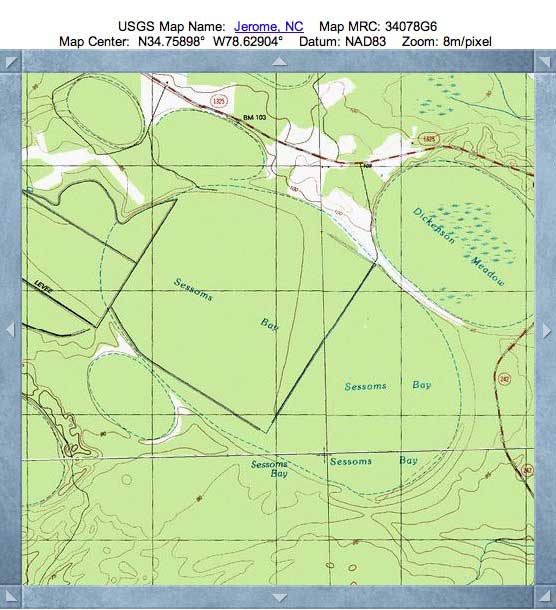
Sessoms Bay, NC
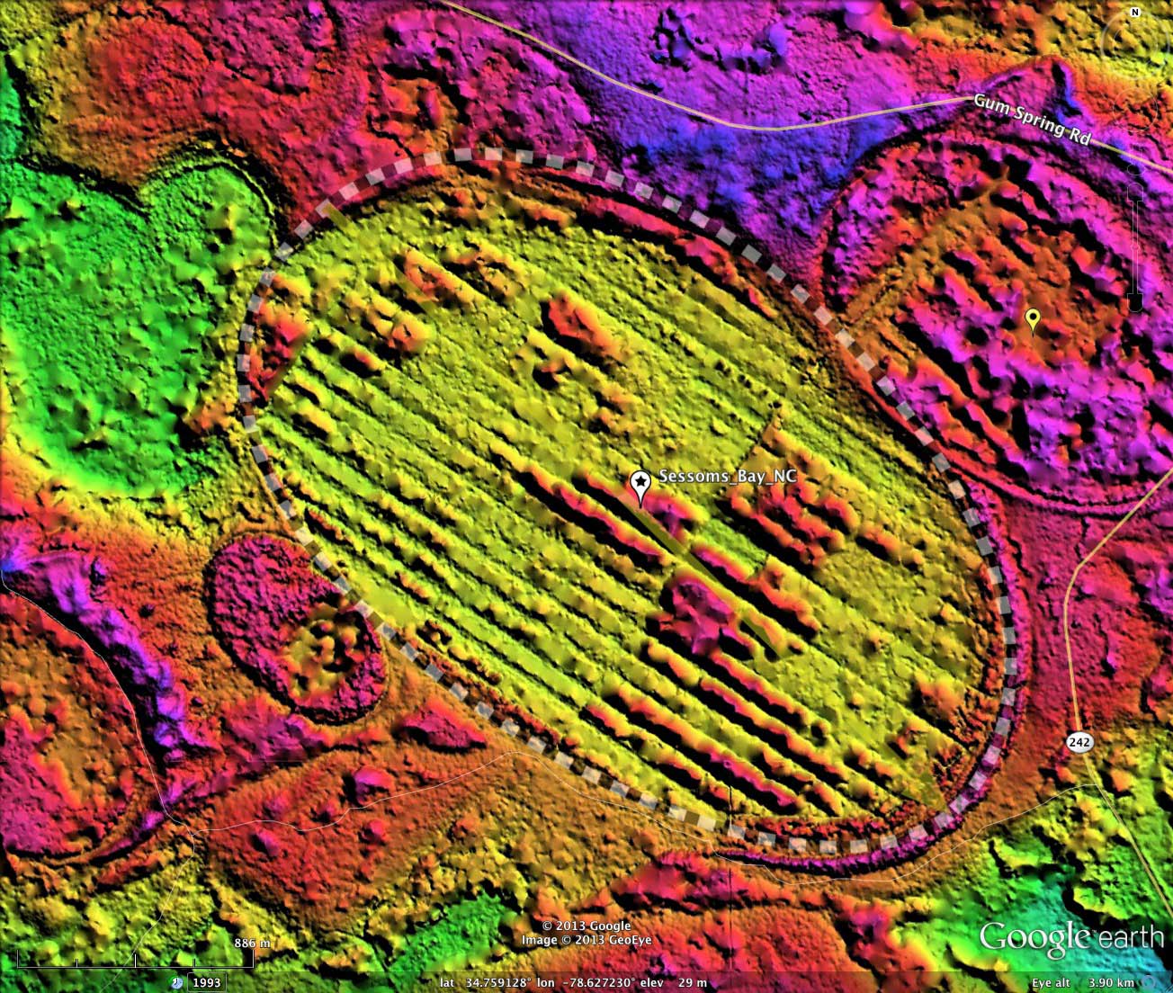
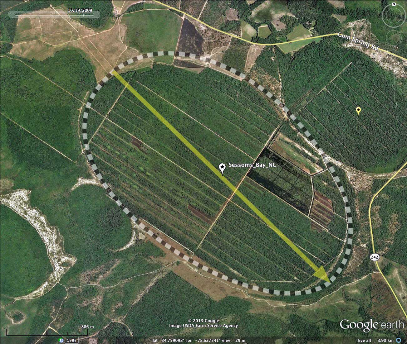
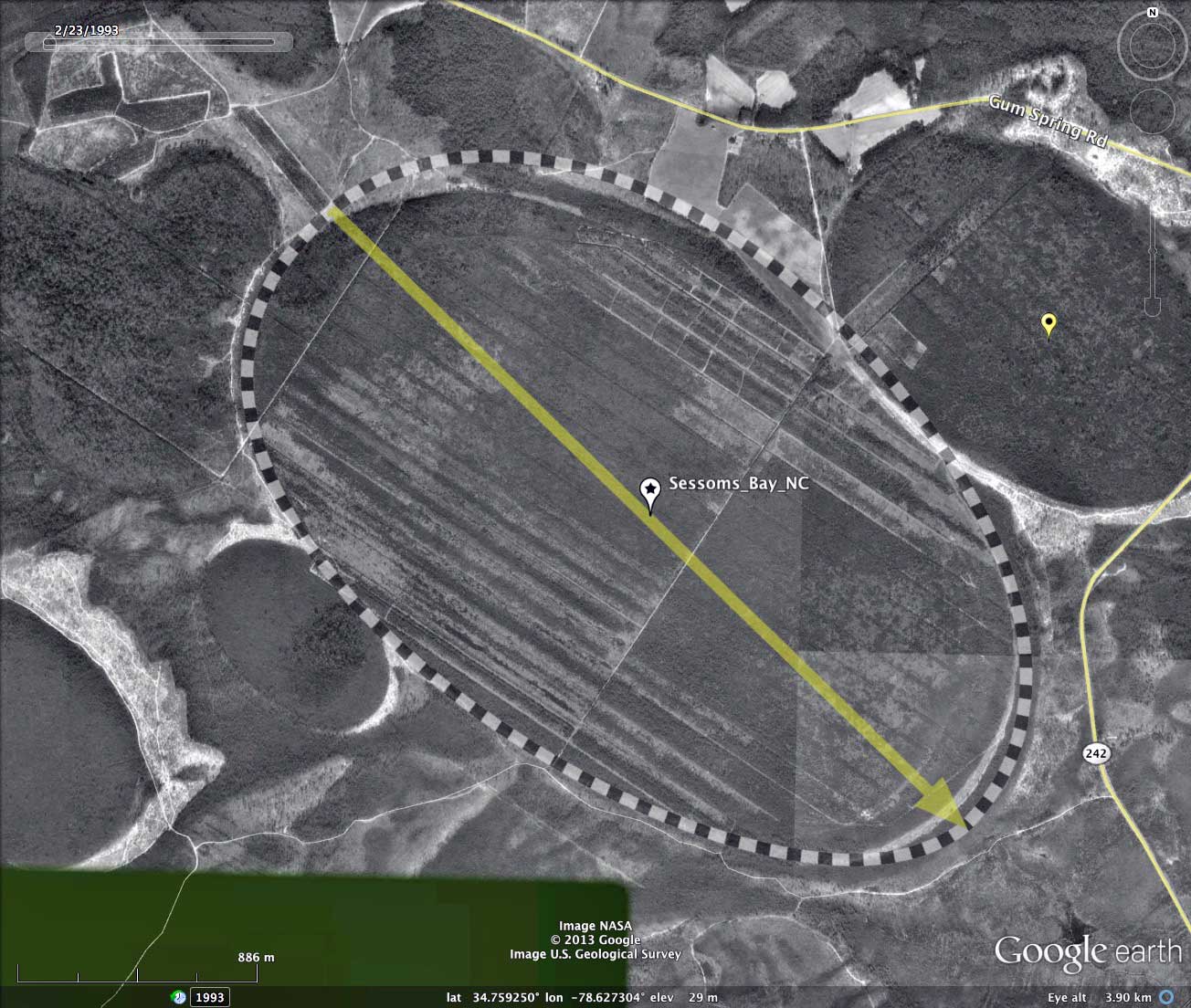
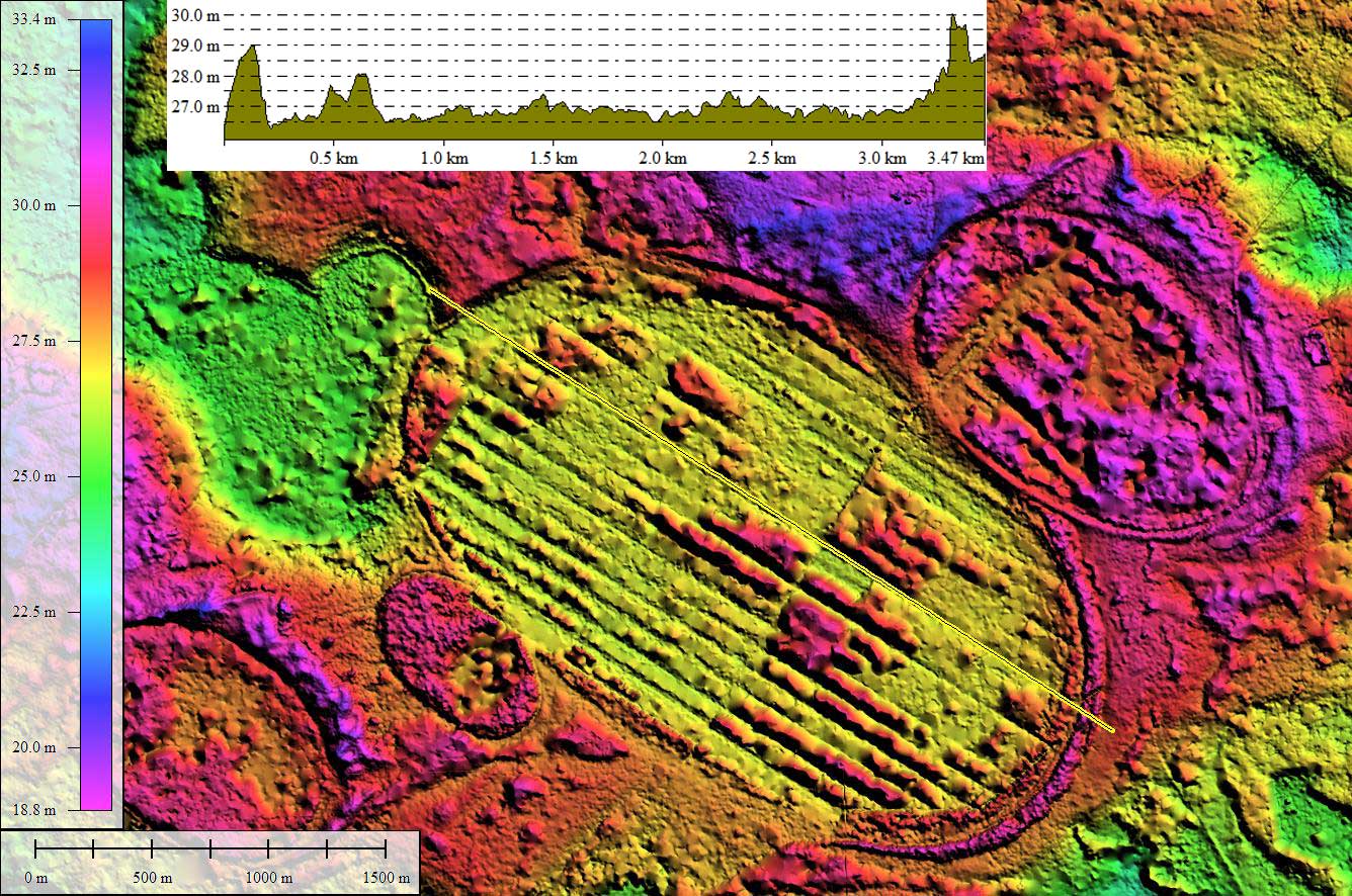
Sessoms Bay, at 3.32 kilometers, is among the very largest of all Carolina bays. It is situated in Bladen County, SC, within the Cape Fear River Valley. The bay conforms well to the shape of the common bayCarolina archetype, and is oriented similarly to a large number other nearby Carolina Bays.
The bay shows up well in the LiDAR, but the rims's 2 to 3 meter expression is lost compared to the 1000x larger size of the bay. It a bit easier to visualize due to the fact it has been extensively ditched and drained, yielding a bay floor which is almost 100% converted to agriculture. Recent satellite photography suggests the attempts at farming are failing, and the land is quite wet and does not appear to be actively farmed.
Sessoms bay was among a handful of bays examined in 1954 by Straley & Straley to characterize any possible magnetic anomalies associated with the Carolina Bays.
- Index #: 139314_0350
- Location: 34.75852415160915,-78.62733875869958
- Major: 3.32 km . . . Minor: 2.03 km
- Eccentricity: 0.789
- Area: 531.9 hectares
- Bearing: 134.27º
- Elevation: 29.61 m
- Archetype: bayCarolina
- Effective Diameter: 2,602.373 m
Copyright 2018 by Michael Davias