Bare Bone Bay, SC
Bare Bone Bay is among those which sparked debate about Carolina Bays when first photographed from the air in the 1930's.
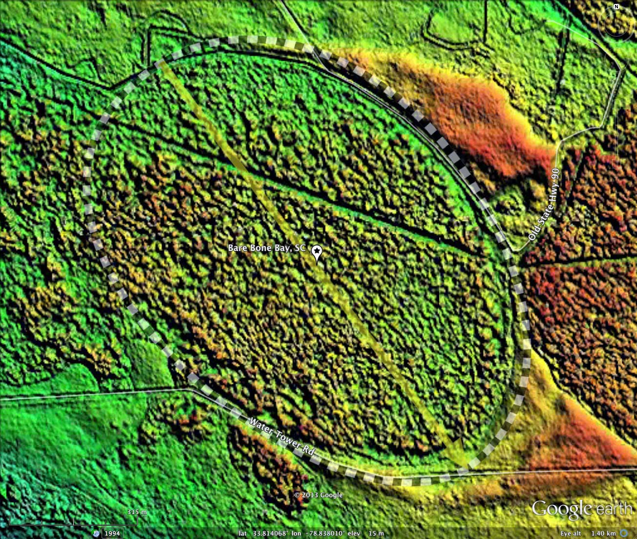
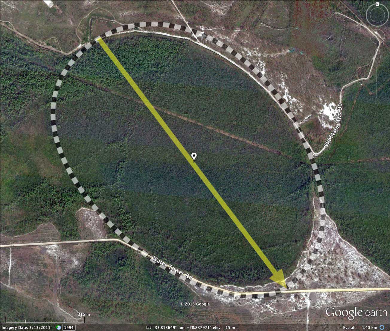
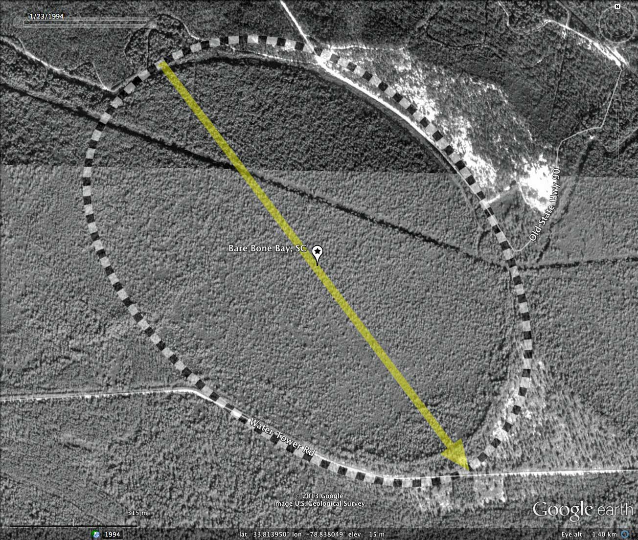
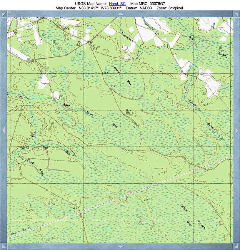
The LiDAR imagery identifies a robust bayCarolina archetype shape at this location, although the USGS topographic map attached the name to a bit more swampland to the west. As a result of the blending with other bays to the west, the western rim of Bare Bone Bay is lost. Also impending the view of the bay in LiDAR is the obviously dense forest canopy across the area, which makes it impossible for the LiDAR to penetrate and return a true ground measurement. Regardless, I think the reader will find my measurement to be fitting.
Due to the dense vegetation canopy, I decided not to do an elevation profile. The canopy is often higher than the rims, leading to a very confusing graph across the bay.
- Index #: 135315_2535
- Location: 33.81374201469286,-78.83802844596558
- Major: 1.17 km . . . Minor: 0.79 km
- Eccentricity: 0.737622188
- Area: 73.23 hectares
- Bearing: 142.99º
- Elevation: 14.67 m
- Archetype: bayCarolina
- Effective Diameter: 965.604 m
Copyright 2018 by Michael Davias