Carlton Bay, Turkey, NC
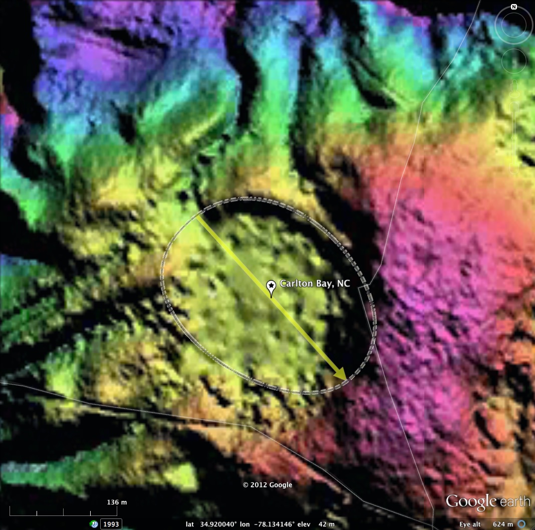
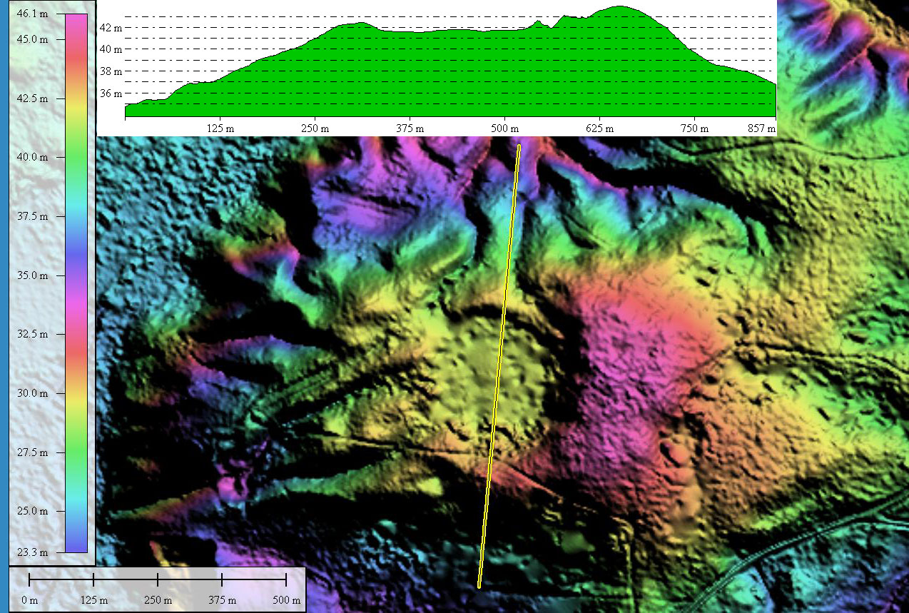
Carlton Bay was named by me using a local name applied to two roads and a local millpond. What I find intriguing about this bay is its location at the top of a hill which rises 20 meters above the nearby stream channel. The basin is about 250 meters ( 2 1/2 football fields) in length.I have fit the bayCarolina archetype template, and applied the same orientation seen in nearby bays. I find the fit satisfactory.
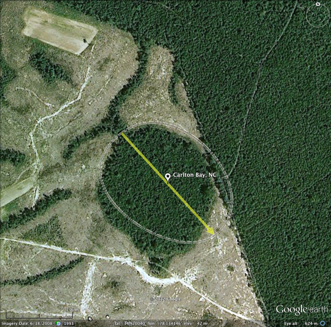
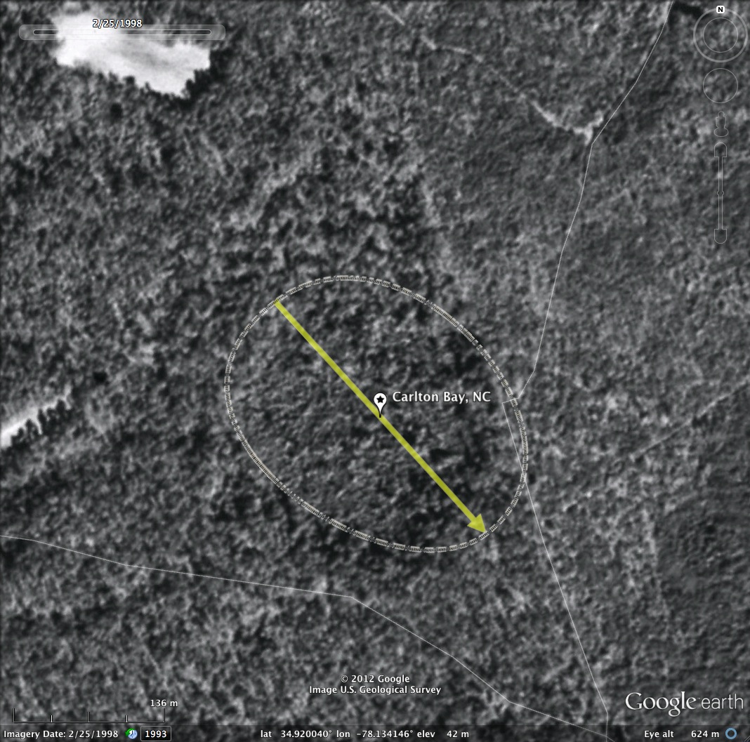
There are indication of several man-made channels cut up the hillside to the bay rim. Since there is no water inflow into the basin it is not likely that the channels were cut for water power. The historical satellite imagery suggests shows forested hill sides surrounding the bay back 15 years ago, but by 2008 the hillsides were bare, save the canopy showing within the bay itself.
Should you have any information about this bay, or any of the other CBoD sites, please share it with us using the comment section.
- • Index #: 139312_6753
- Location: 34.91966763092658,-78.13410186739762
- Major: 0.28 km . . . Minor: 0.22 km
- Eccentricity: 0.636
- Area: 4.93 hectares
- Bearing: 137.72º
- Elevation: 41.78 m
- Planform: bayCarolina • Effective Diameter: 250.541 m
Copyright 2018 by Michael Davias