Marlboro Sand Bays, SC
Mineral extraction from the Carolina bay rims and pediments has been extensive. Prized as a feedstock for making glass, the rim sand is often found to be 98% to 99% pure quarts, with low heavy minerals and virtually no organic compounds. The sand is enigmatic in its own right.
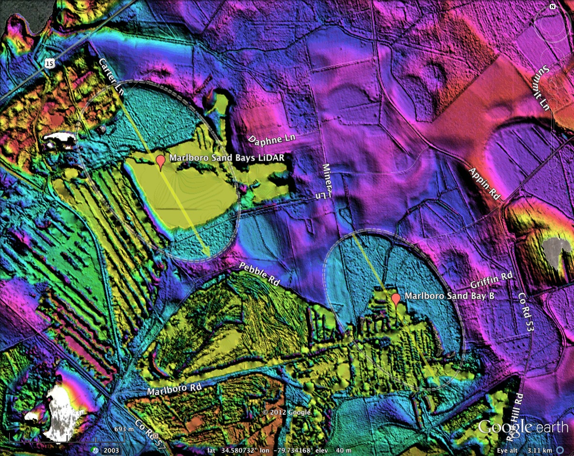
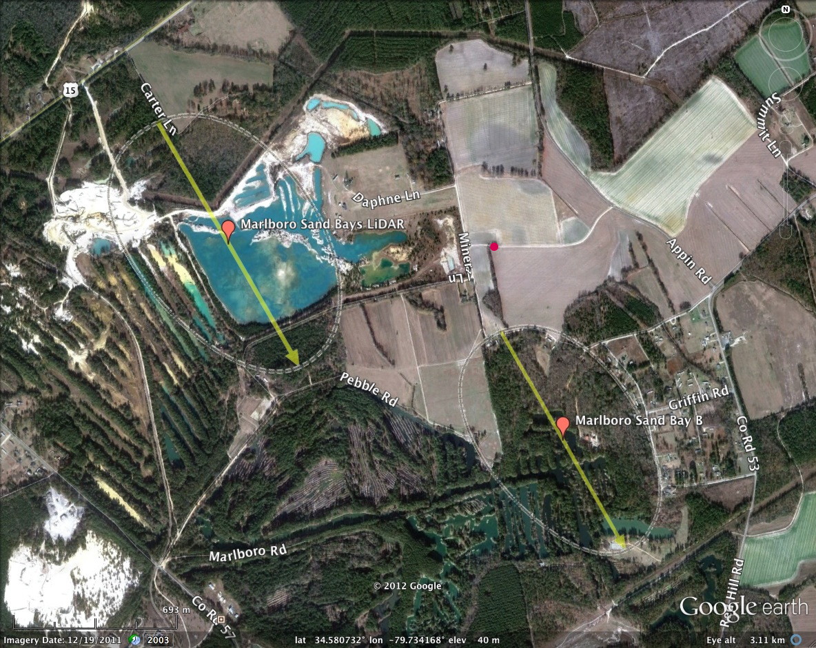
Here we present two bays found on the landscape southeast of Bennettesville, SC. The local area is an open quarry, and it seems the "quarry" in this case is the rim sand. Inspection of the LiDAR suggests a thin sheet of sand which makes up the rim, the floor, and the surrounding pediments has been extracted. Remediation then takes place, with rows of trees apparent where the sheet is missing.
The bays are herein named "Marlboro Sand Bays" after the quarry's operating name.
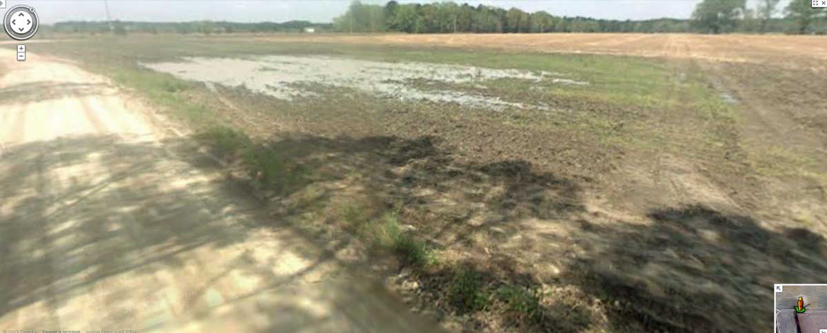
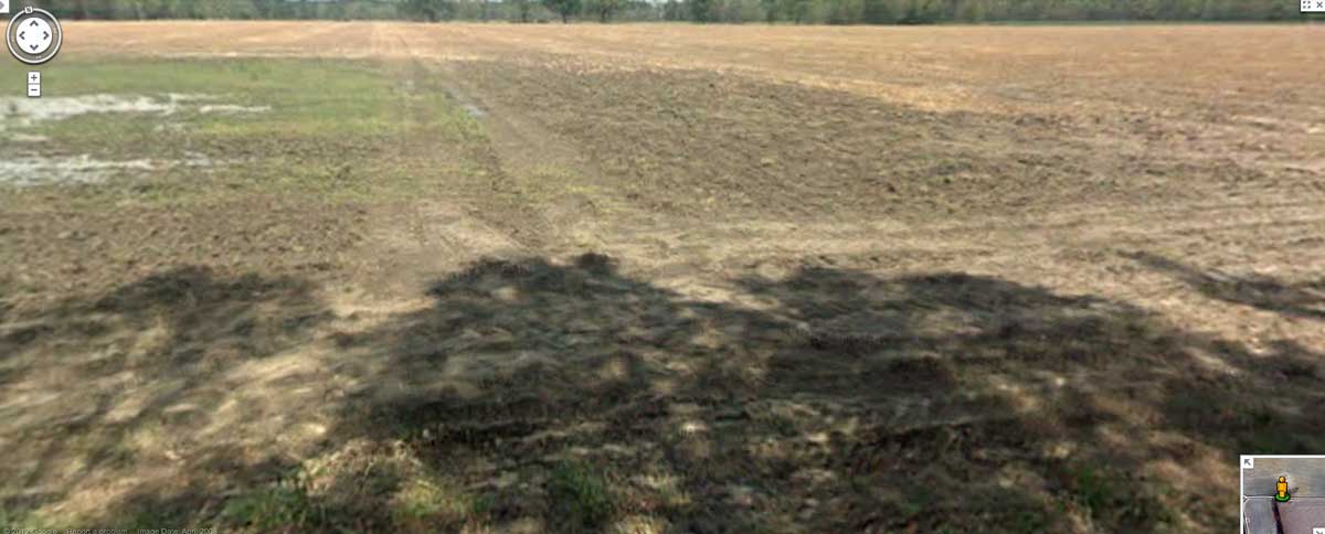
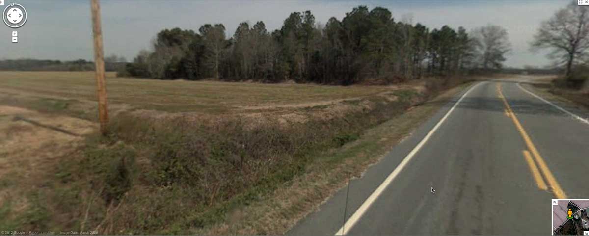
Included in the attached album are two Google Streetview images of a small associated bay which is bisected by a dirt road, from which the imagery was photographed (red dot on satellite image) . The arch of the partial oval is distinctly darker due to higher moisture content, and a slight ponding of water within the "bay" can be seen. As usual, it is hard to directly discern the rim's raised edge from the ground.
Marlboro Sand Bay A
Marlboro Sand Bay B
Here we present two bays found on the landscape southeast of Bennettesville, SC. The local area is an open quarry, and it seems the "quarry" in this case is the rim sand. Inspection of the LiDAR suggests a thin sheet of sand which makes up the rim, the floor, and the surrounding pediments has been extracted. Remediation then takes place, with rows of trees apparent where the sheet is missing.
The bays are herein named "Marlboro Sand Bays" after the quarry's operating name.
Included in the attached album are two Google Streetview images of a small associated bay which is bisected by a dirt road, from which the imagery was photographed (red dot on satellite image) . The arch of the partial oval is distinctly darker due to higher moisture content, and a slight ponding of water within the "bay" can be seen. As usual, it is hard to directly discern the rim's raised edge from the ground.
Marlboro Sand Bay A
- Index #: 138318_3396
- Location: 34.58376136907052,-79.74248261025303
- Major: 1.22 km . . . Minor: 0.8 km
- Eccentricity: 0.753
- Area: 77.0 hectares
- Bearing: 149.89º
- Elevation: 36.69 m
- Planform: bayCarolina
- Effective Diameter: 990.148 m
Marlboro Sand Bay B
- Index #: 138318_3090
- Location: 34.57628573683156,-79.72699280373593
- Major: 1.08 km . . . Minor: 0.68 km
- Eccentricity: 0.779
- Area: 58.33 hectares
- Bearing: 150.23º
- Elevation: 37.61 m
- Planform: bayCarolina
- Effective Diameter: 861.788 m
Copyright 2018 by Michael Davias