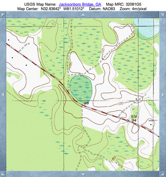
Asbury Bay, GA
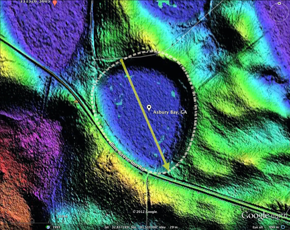
Truly, a stunningly architected bay, deep down in Georgia. The planform maintains the baySouth Archetype, but as we travel to the southwest, the length-to-width ratio begins to shrink, becoming nearly equal; here it is 0.44 km to 0.37 km.
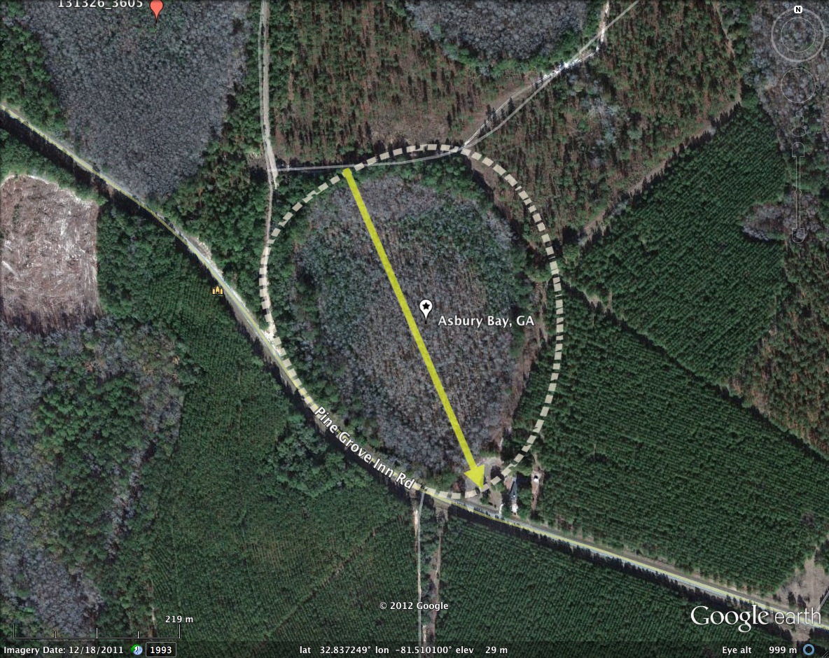
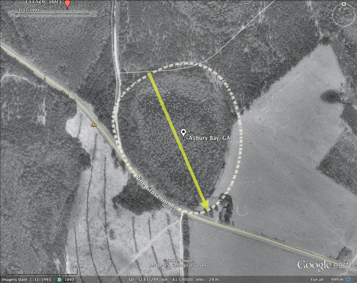
Asbury Bay was named in the survey after the Asbury AME Church located on the tip of its southeastern rim.
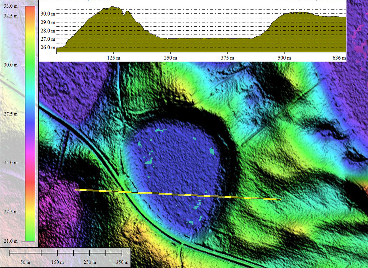
There are no indications that this rim has been breached with a drainage channel, and the LiDAR suggests there may be standing water in the basin. Roadways completely encircle the basin, traversing along the rim.
As is sometimes the case, the bay is set down into a surrounding pediment, with only a short reach along the northeast rim having a significant rise above the surrounding area. There are numerous bays in the area, and many also seem to be unmolested. Most display the same alignment and suggest a robust adherence to the baySouth shape, although neither fact would not be deduced from the USGS Topographic maps nor the satellite imagery.
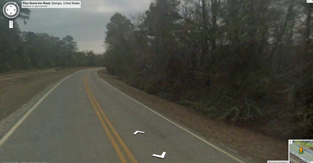
The interactive Google Streetview can be access directly HERE.
Asbury Bay was named in the survey after the Asbury AME Church located on the tip of its southeastern rim.
There are no indications that this rim has been breached with a drainage channel, and the LiDAR suggests there may be standing water in the basin. Roadways completely encircle the basin, traversing along the rim.
As is sometimes the case, the bay is set down into a surrounding pediment, with only a short reach along the northeast rim having a significant rise above the surrounding area. There are numerous bays in the area, and many also seem to be unmolested. Most display the same alignment and suggest a robust adherence to the baySouth shape, although neither fact would not be deduced from the USGS Topographic maps nor the satellite imagery.
The interactive Google Streetview can be access directly HERE.
- Index #: 131326_3403
- Location: 32.83730869304353,-81.50994498206215
- Major: 0.44 km . . . Minor: 0.37 km
- Eccentricity: 0.555
- Area: 13.13 hectares
- Bearing: 156.86º
- Elevation: 27.05 m
- Planform: baySouth
- Effective Diameter: 408.872 m
Copyright 2018 by Michael Davias