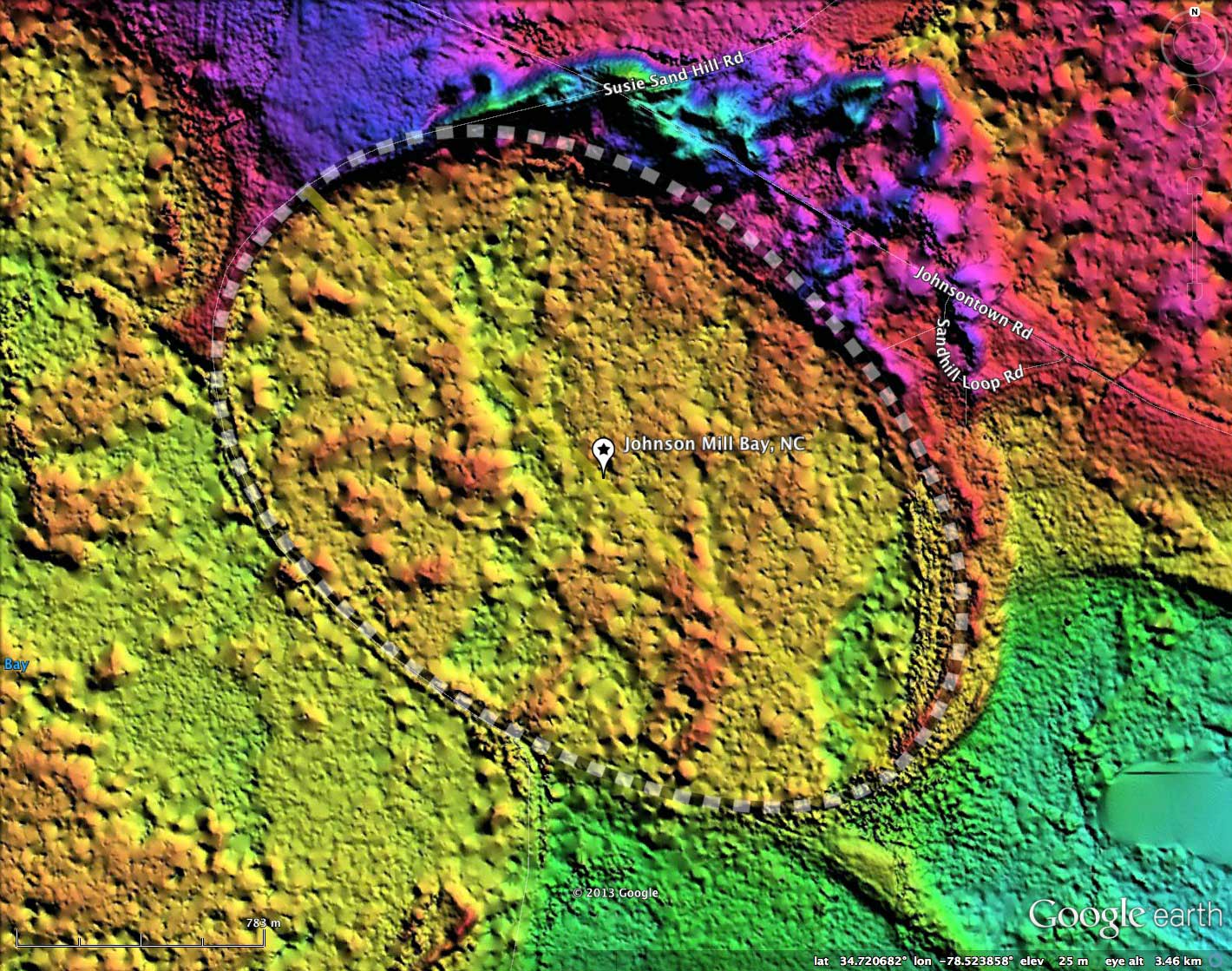
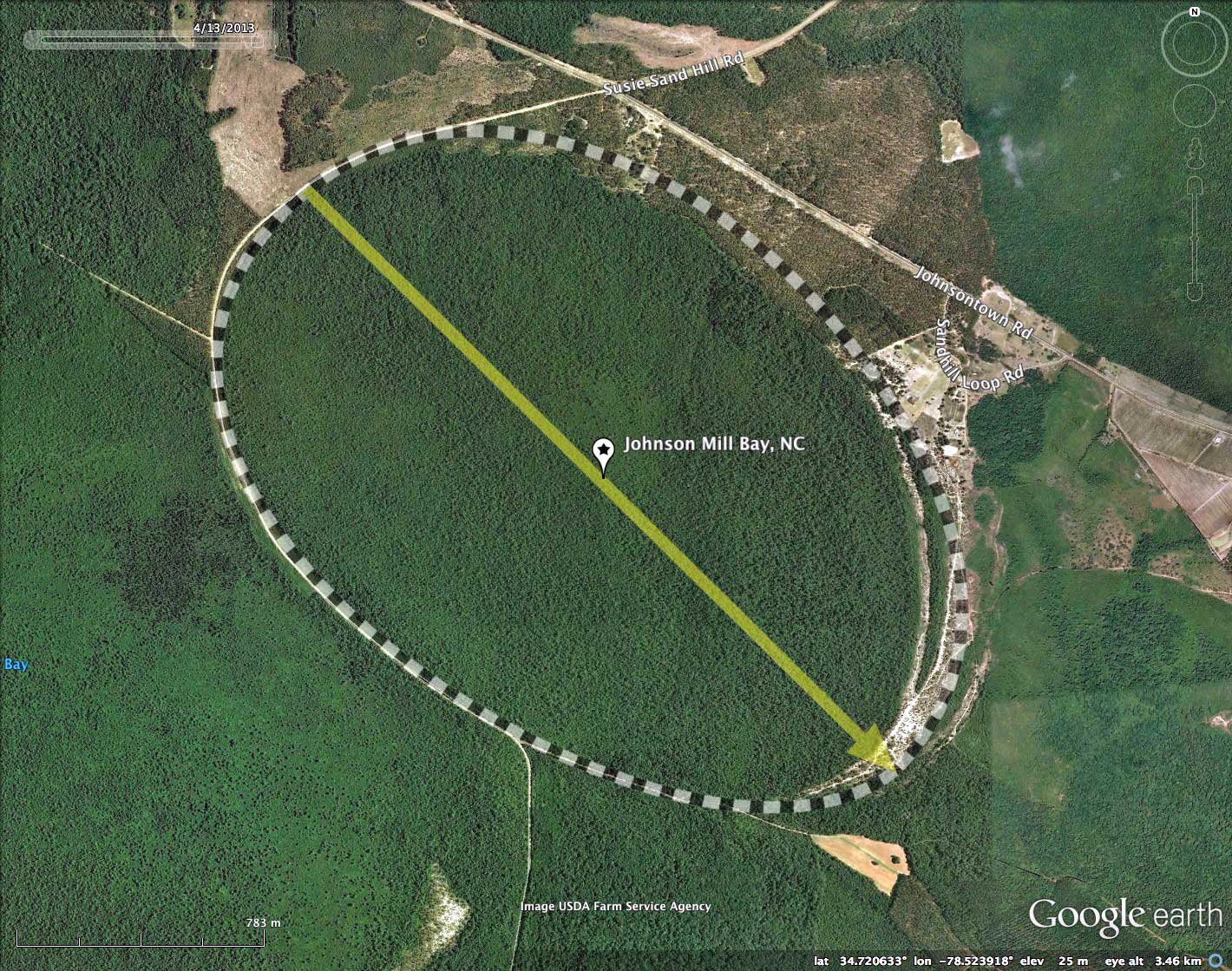
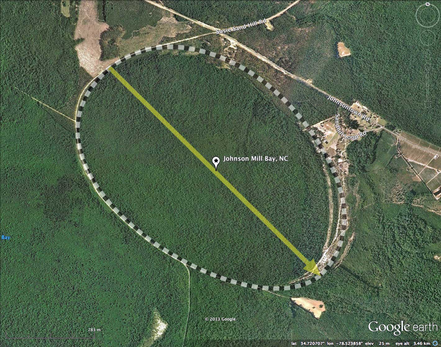
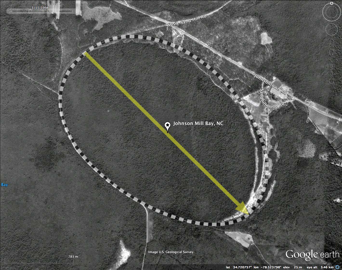
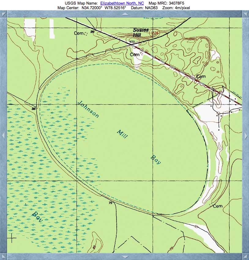
Johnson Mill Bay, NC
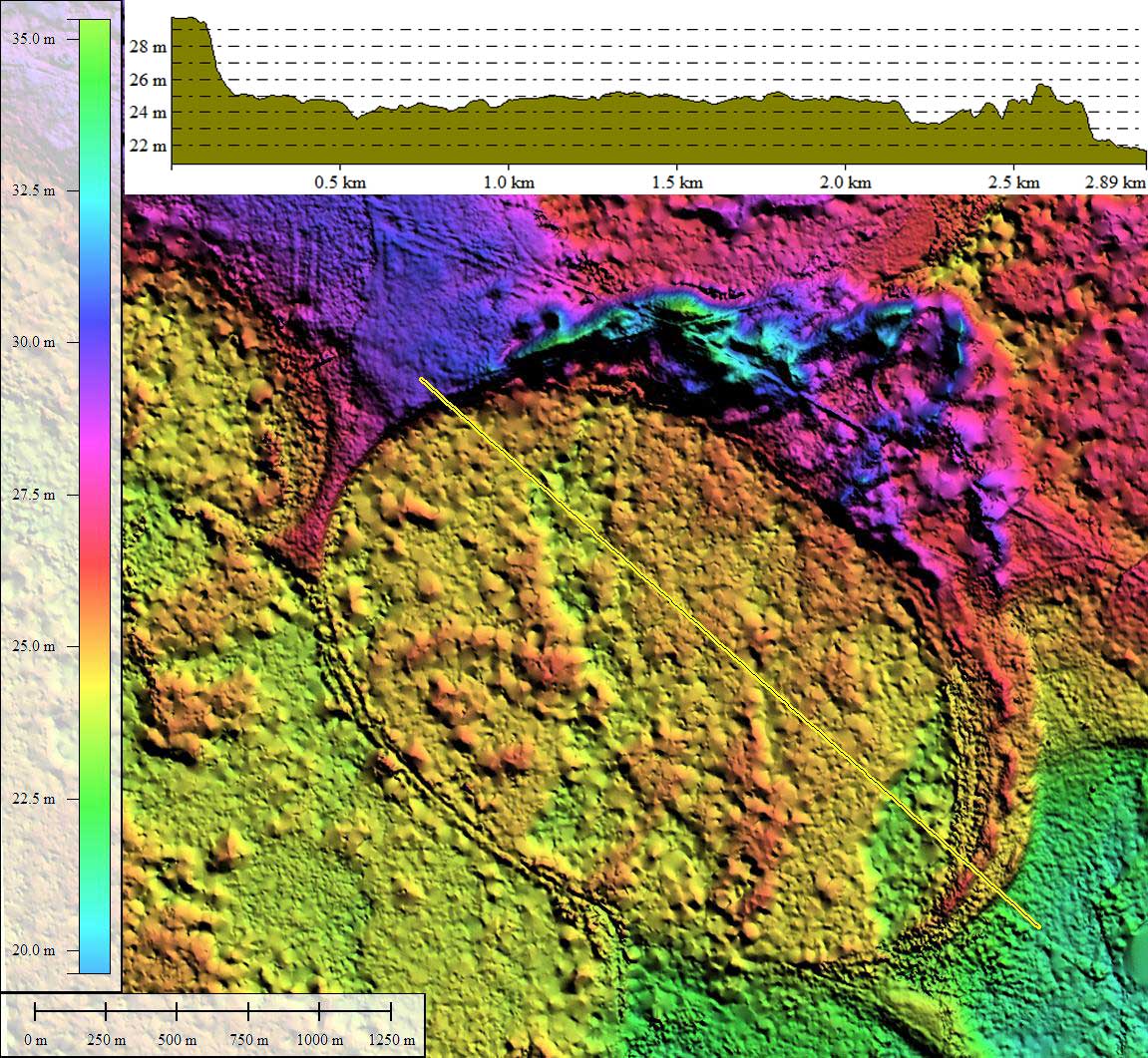
There exists a field of wispy, wind-driven dunes off the northeast quadrant of the bay. When existent, dunes such as these seem to be unrelated in shape or orientation to whatever mechanism formed the crisply geometric oval of the bay itself.
The bay is site of the Johnson Mill Pond Natural Area, a Significant Natural Heritage Area covering 888 acres.
The publication Natural Area Inventory Of Bladen County, North Carolina, by LeBlond & Grant, an extract of which is presented below:
Johnson Mill Pond Natural Area comprises a moderately large Carolina bay named Johnson Mill Bay. Much of the sand ridge habitat surrounding the bay basin is managed as timberland (pine plantations) and has been excluded from the natural area. The large wetland basin within Johnson Mill Bay is in excellent condition and supports four pocosin communities: Low Pocosin, High Pocosin, Bay Forest, and Pond Pine Woodland. The Low Pocosin community occurs on the deepest peats in the central areas of the bay basins. Due to the difficulty of access, the Low Pocosin community at this site has been observed only from air. It typically has a dense shrub layer 3-5 feet high that is usually dominated by honeycups (Zenobia pulverulenta). Pond pine (Pinus serotina) are present, but are too small and scattered to form a canopy. The High Pocosin community occurs where the peats are less deep than those found beneath the Low Pocosin. High Pocosin is characterized by a dense shrub layer 6-10 feet high and slightly taller and more frequent pines, but still too small and scattered to form a canopy.
The Bay Forest community has a moderately mature canopy of loblolly bay (Gordonia lasianthus) and swamp red maple (Acer rubrum var. trilobum) over an understory of sweet bay (Magnolia virginiana) and swamp red bay (Persea palustris). The Pond Pine Woodland community occurs on mineral soils that may be shallowly overlain with peat. It is often the dominant community on the outer portions of the basin, closer to the surrounding rim. The canopy is well-developed and dominanted by pond pine with loblolly bay and swamp red maple also present. Fetterbush (Lyonia lucida) and blaspheme-vine (Smilax laurifolia) are prominent in the dense shrub layer.
- Index #: 138314_8709
- Location: 34.71990708938408,-78.52390321649854
- Major: 2.65 km . . . Minor: 1.78 km
- Eccentricity: 0.741
- Area: 371.95 hectares
- Bearing: 134.66º
- Elevation: 24.53 m
- Archetype: bay
- Effective Diameter: 2,176.19 m