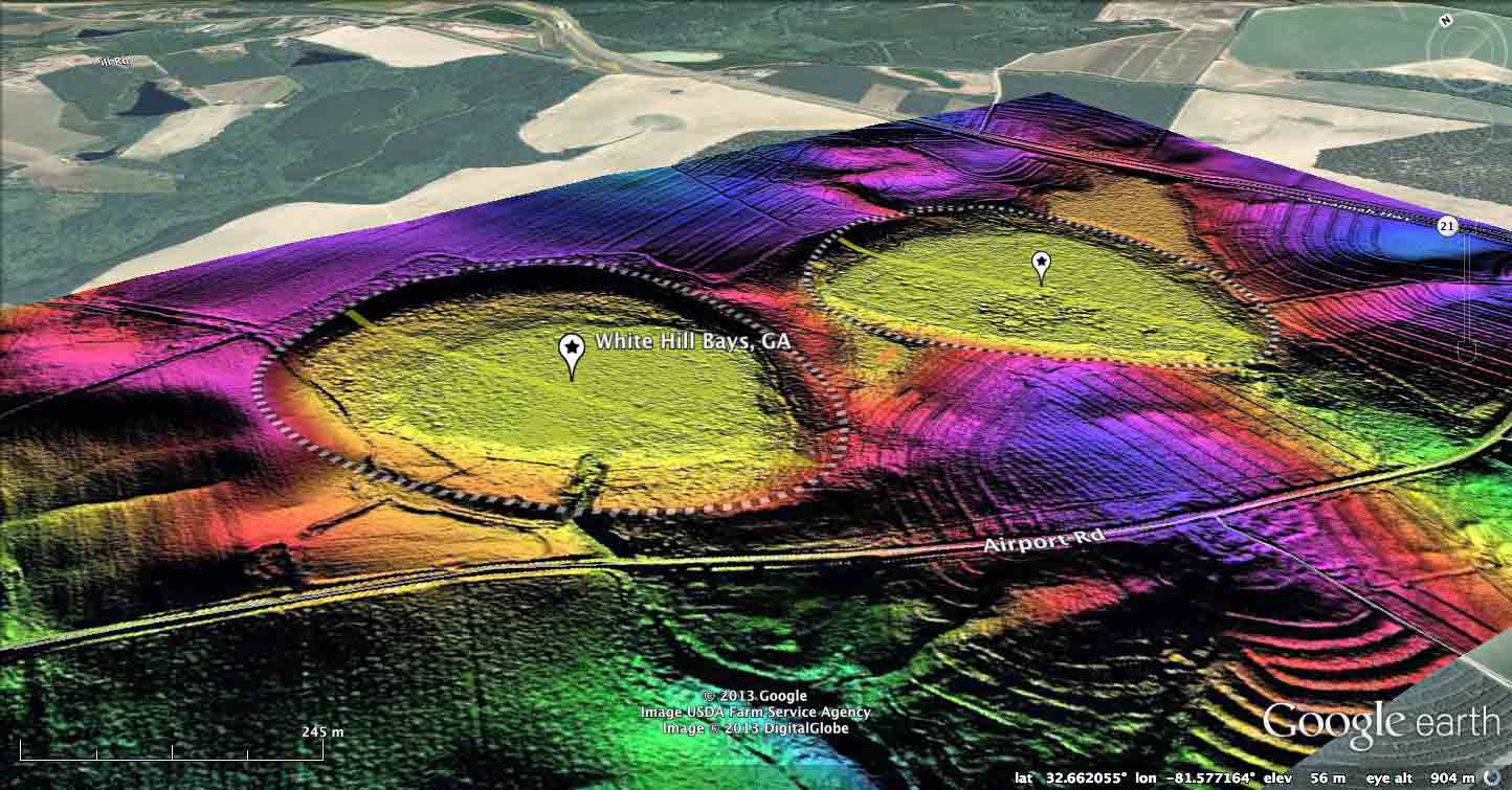
White Hill Bays, GA
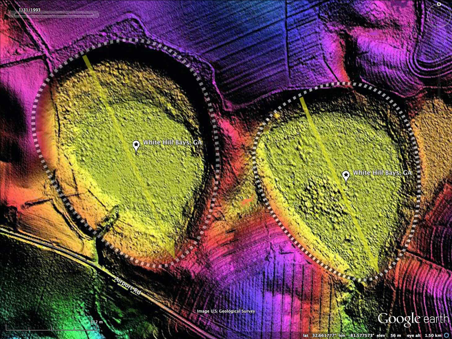
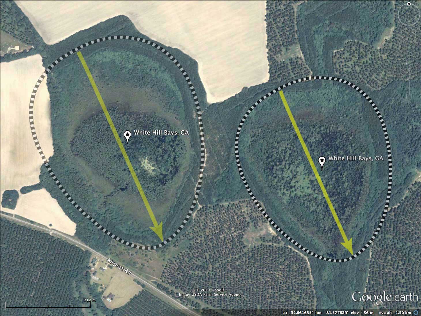
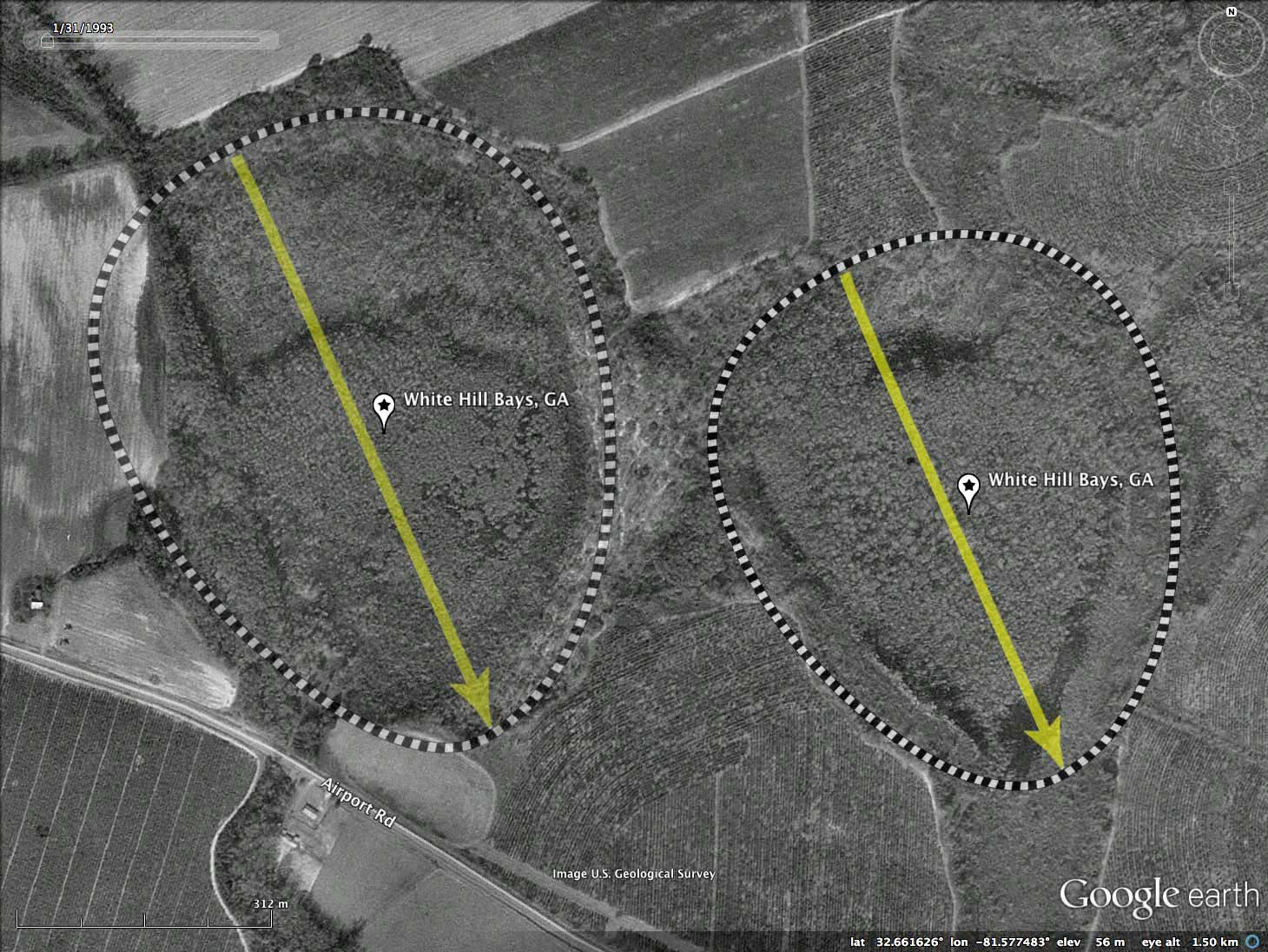
Presented today are a pair of nice Carolina Bays located 11 kilometers southeast of Sylvania, GA, along the Savannah Highway. I took the name of the small USGS populated place 2 kilometers to the north to identify these bays, and kept them as a pair since they seem so nicely juxtapositioned. Both of these gentle depressions have a shape which fits into the baySouth archetype template, and have identical orientations, but are slightly different in size.
The use of the overlay template allows these metrics to be captured easily. Once in place, an overlay can be "copied" and "pasted" to make a duplicate, which can be moved over to another bay to see how well they compare. I encourage the viewer to get into Google Earth with the referenced KMZ file, and try their hand at manipulating the overlays to yield their own interpretation of how they would fit the archetype and adjust the length and width. I have a few uTube Videos which demonstrate the process - nothing formal, just a screenshot capture of me at work with the survey: http://youtu.be/enA-2lslCac
Both of these bays have signs of artificial drainage channels exiting the southern tip of the bay, as indicated by excavations seen in the LiDAR. Despite this, the bays look to be a very natural state, and with a little work closing those excavated channels, the bays would likely revert quickly to a pre-human intervention state.
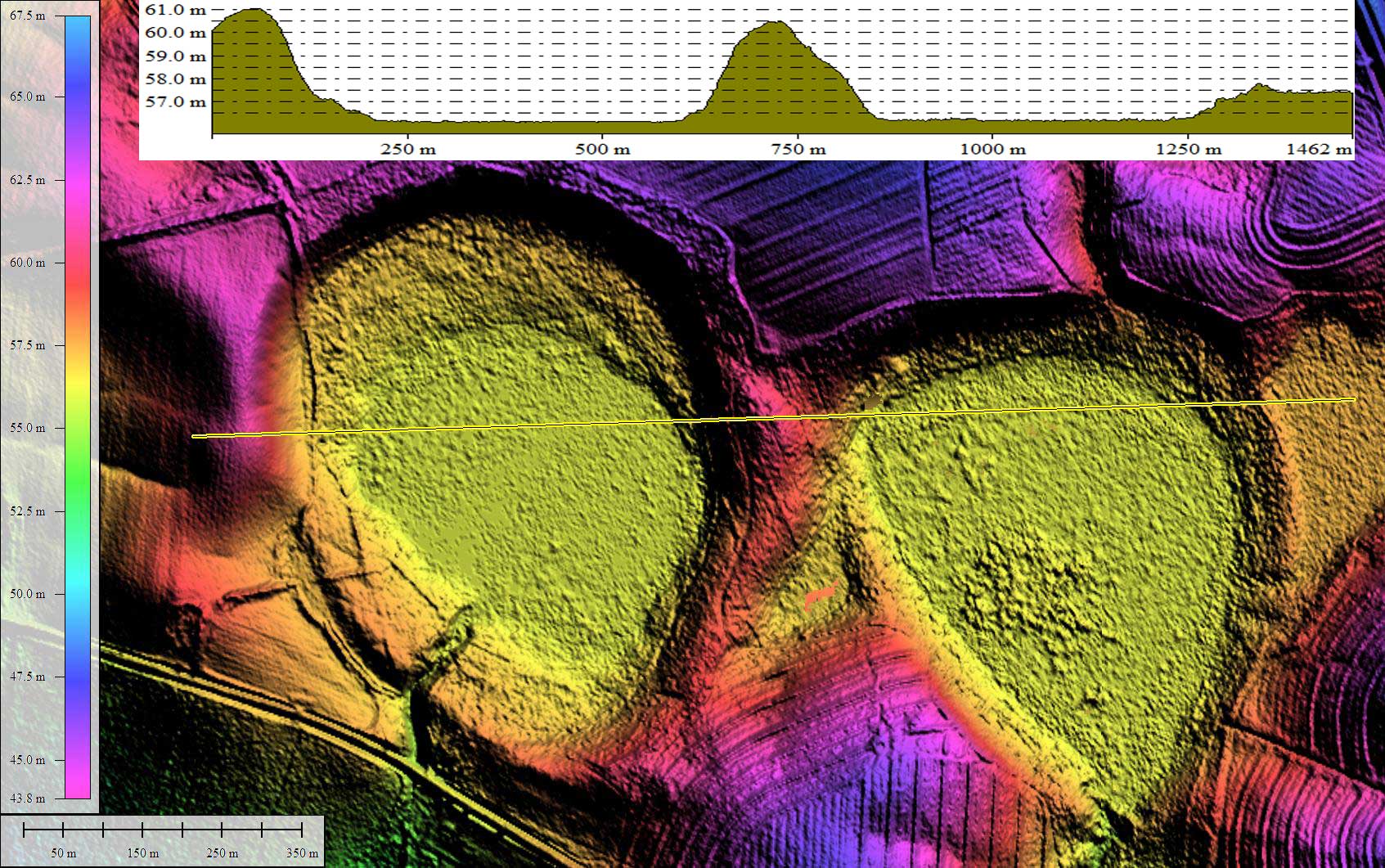
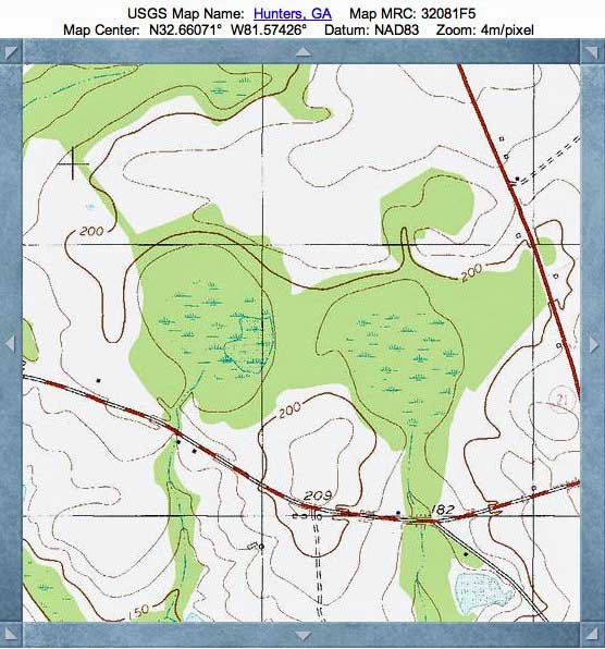
The LiDAR elevation data is from Screven County, Georgia, and is provided publicly on a 2 meter grid. This is better than the 3-meter grid of the USGS NED, but not as fine as the newest 1/4 meter grid Georgia data.
The Carolina Bay Survey has identified and measured ~250 bays in Octant 130326. Their location and metrics can be referenced through a Fusion Table spatial visualization.
The use of the overlay template allows these metrics to be captured easily. Once in place, an overlay can be "copied" and "pasted" to make a duplicate, which can be moved over to another bay to see how well they compare. I encourage the viewer to get into Google Earth with the referenced KMZ file, and try their hand at manipulating the overlays to yield their own interpretation of how they would fit the archetype and adjust the length and width. I have a few uTube Videos which demonstrate the process - nothing formal, just a screenshot capture of me at work with the survey: http://youtu.be/enA-2lslCac
Both of these bays have signs of artificial drainage channels exiting the southern tip of the bay, as indicated by excavations seen in the LiDAR. Despite this, the bays look to be a very natural state, and with a little work closing those excavated channels, the bays would likely revert quickly to a pre-human intervention state.
The LiDAR elevation data is from Screven County, Georgia, and is provided publicly on a 2 meter grid. This is better than the 3-meter grid of the USGS NED, but not as fine as the newest 1/4 meter grid Georgia data.
The Carolina Bay Survey has identified and measured ~250 bays in Octant 130326. Their location and metrics can be referenced through a Fusion Table spatial visualization.
- White Hill Bay West
- Index #: 130326_6431
- Location: 32.66142128746052,-81.57755008446881
- Major: 0.77 km . . . Minor: 0.6 km
- Eccentricity: 0.627
- Area: 37.17 hectares
- Bearing: 156.01º
- Elevation: 56.09 m
- Archetype: baySouth
- Effective Diameter: 687.94 m
- White Hill Bay East
- Index #: 130326_6427
- Location: 32.66055823976755,-81.56999521636513
- Major: 0.67 km . . . Minor: 0.55 km
- Eccentricity: 0.574
- Area: 29.54 hectares
- Bearing: 156.01º
- Elevation: 56.16 m
- Archetype: baySouth
- Effective Diameter: 613.281 m
Copyright 2018 by Michael Davias