Reese Bay, SC
Reese Bay is a smaller bay whose floor is almost 200 meters above sea level. It is located 270 kilometers from the Atlantic coast, and among a dozen or so bays near Clinton, SC which are the furthest inland of all the East Coast bays. If the Atlantic Ocean were 200 meters higher (600 ft), the rim of Reese bay would poke up above the surface like an atoll.
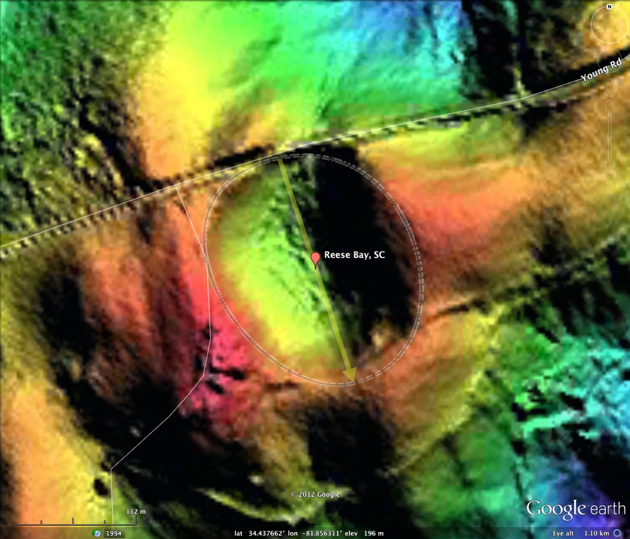
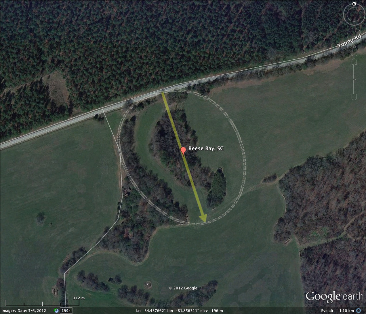
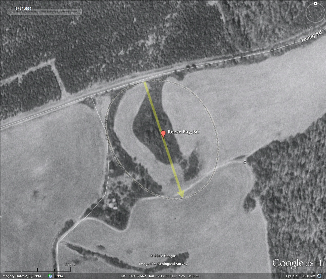
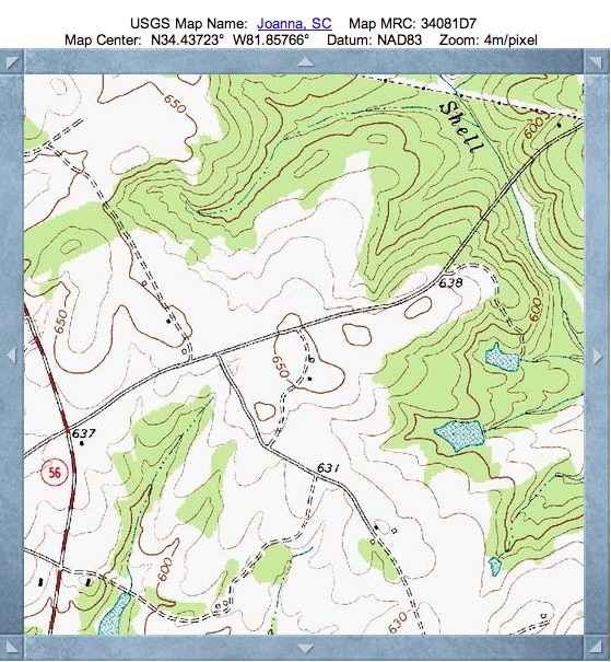
Reese Bay adheres to the classic bayCarolina archetype shape, and its orientation correlates to that expected for the area.
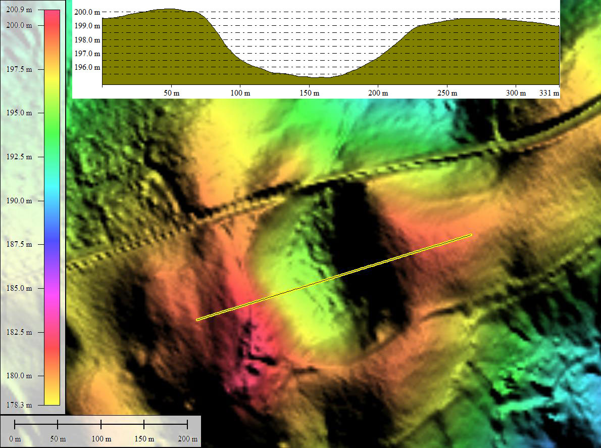
The LiDAR view shows the bay to be imbedded a small hill. No drainage channel is seen in the LiDAR, but it would seem something must be assisting keeping it dry. The elevation profile map shows the floor to be over 4 meters below the circumpherial rim, yet no open water is present. Perhaps the setting, high above the surrounding terrain, allow for collected water to percolate out through the bay floor. As a closed catchment, the bay floor might hold an un-compromised history of sediments since the bay was formed.
Reese Bay was named by me after an historical property owner, as it has not been given one previously.
Reese Bay adheres to the classic bayCarolina archetype shape, and its orientation correlates to that expected for the area.
The LiDAR view shows the bay to be imbedded a small hill. No drainage channel is seen in the LiDAR, but it would seem something must be assisting keeping it dry. The elevation profile map shows the floor to be over 4 meters below the circumpherial rim, yet no open water is present. Perhaps the setting, high above the surrounding terrain, allow for collected water to percolate out through the bay floor. As a closed catchment, the bay floor might hold an un-compromised history of sediments since the bay was formed.
Reese Bay was named by me after an historical property owner, as it has not been given one previously.
- Index #: 137327_7542
- Location: 34.43766252333433,-81.85631070789833
- Major: 0.22 km . . . Minor: 0.18 km
- Eccentricity: 0.524
- Area: 3.27 hectares
- Bearing: 161.73º
- Elevation: 195.24 m
- Archetype: bayCarolina
- Effective Diameter: 204.046 m
Copyright 2018 by Michael Davias