Catfish Church Bay, SC
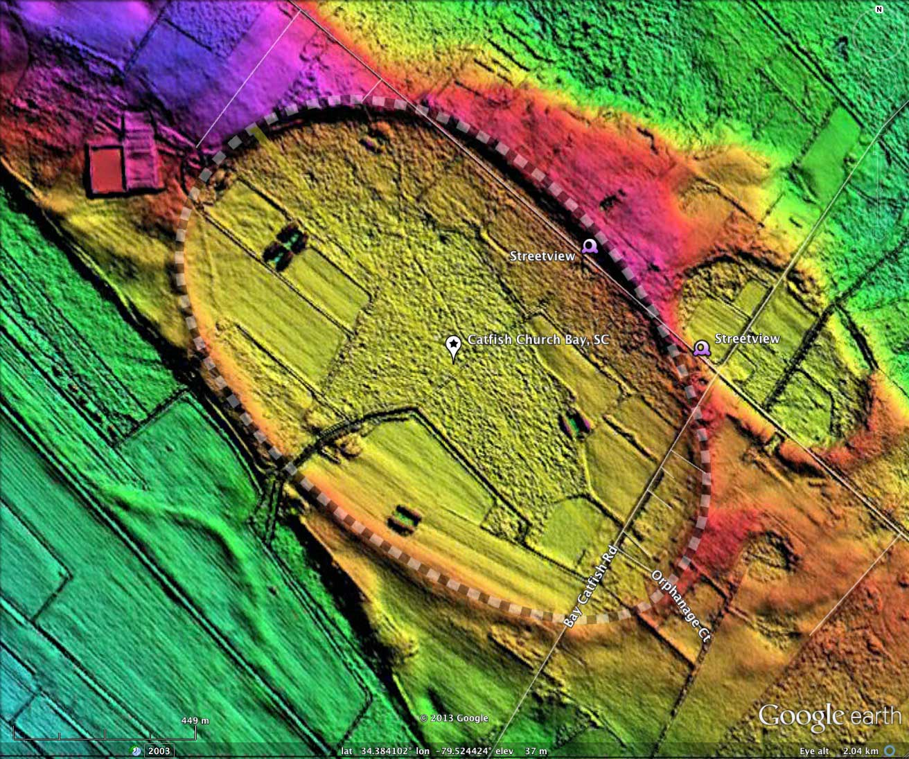
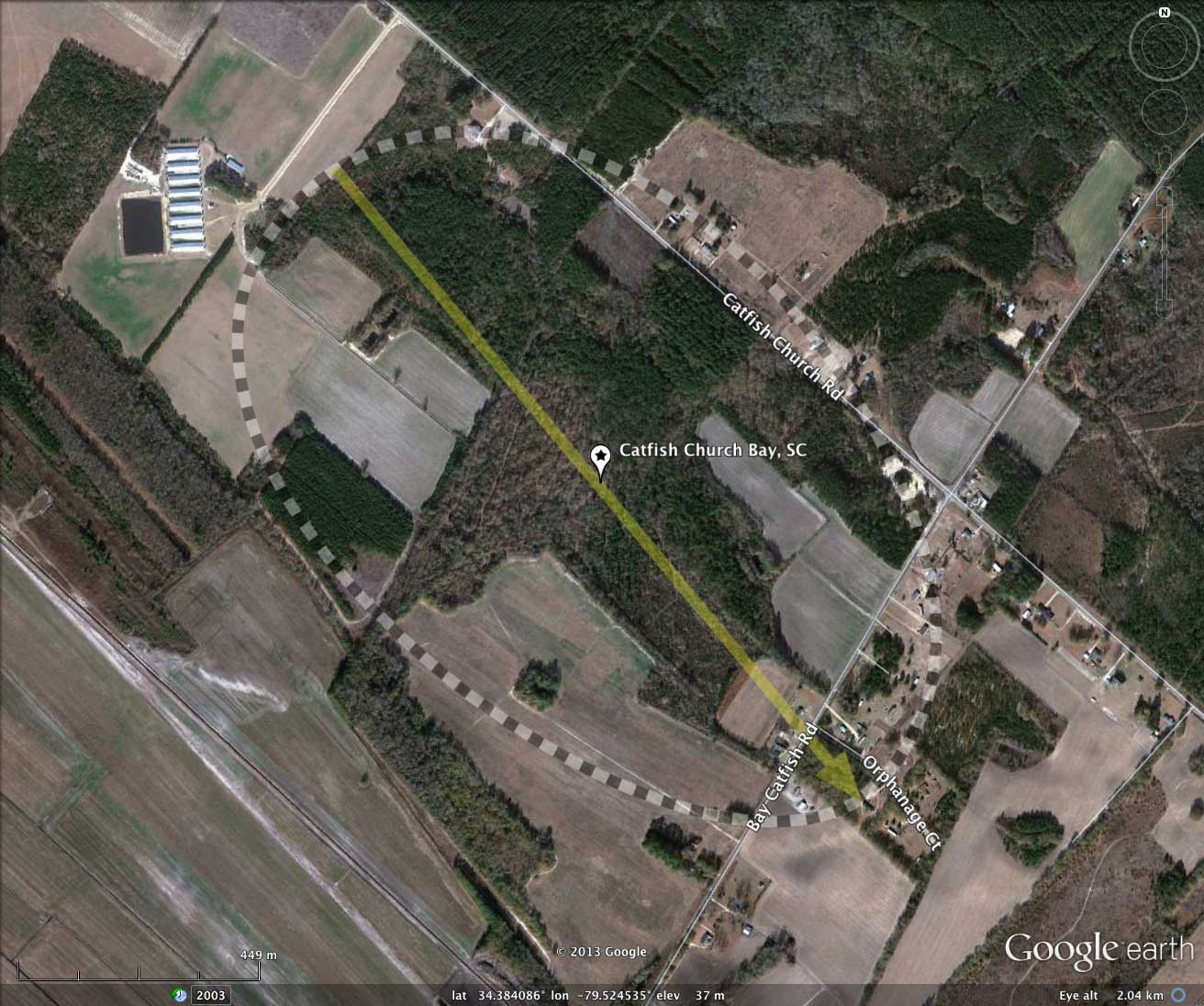
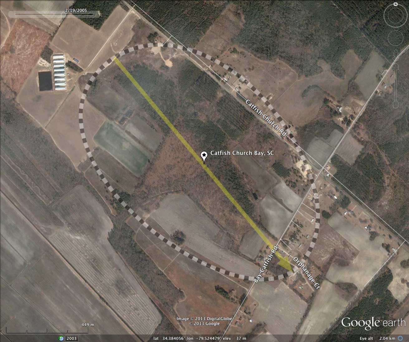
The Carolina bays in this local are elongated, and "Catfish Church Bay" (my name, after the road which passes through) is no exception. Nevertheless, the Google Earth archetype planform can easily be applied to the bay's rim. This common bayCarolina planform is rendered as a near-perfect oval on the northern side of the major axis, while the southern side is slightly squashed, as expected with the central Carolina bays. The casual observer will note that the bay located adjacent on the northeastern side has the identical shape and orientation, despite being considerably smaller and resting at a lower elevation.
This bay is ~1.5 km long on its major axis. It's rim is cut by Catfish Church Road along its northern side, where it drops in and back out on a straight line. One of the elevation profiles shows the transect along the road, where it dips down lower in the small associated bay.
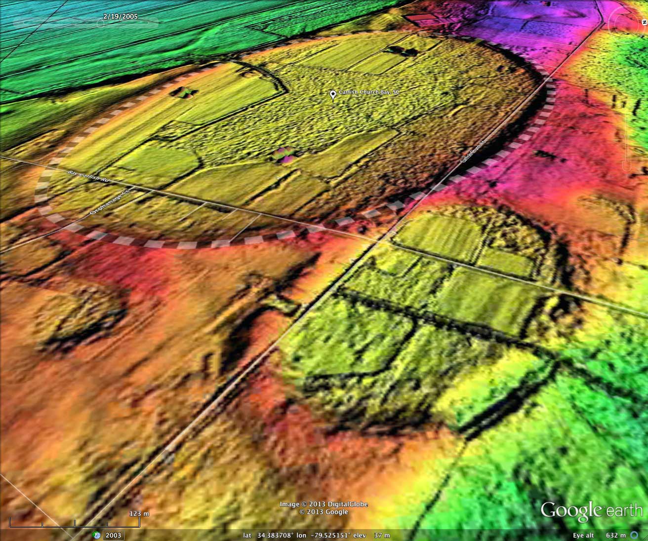
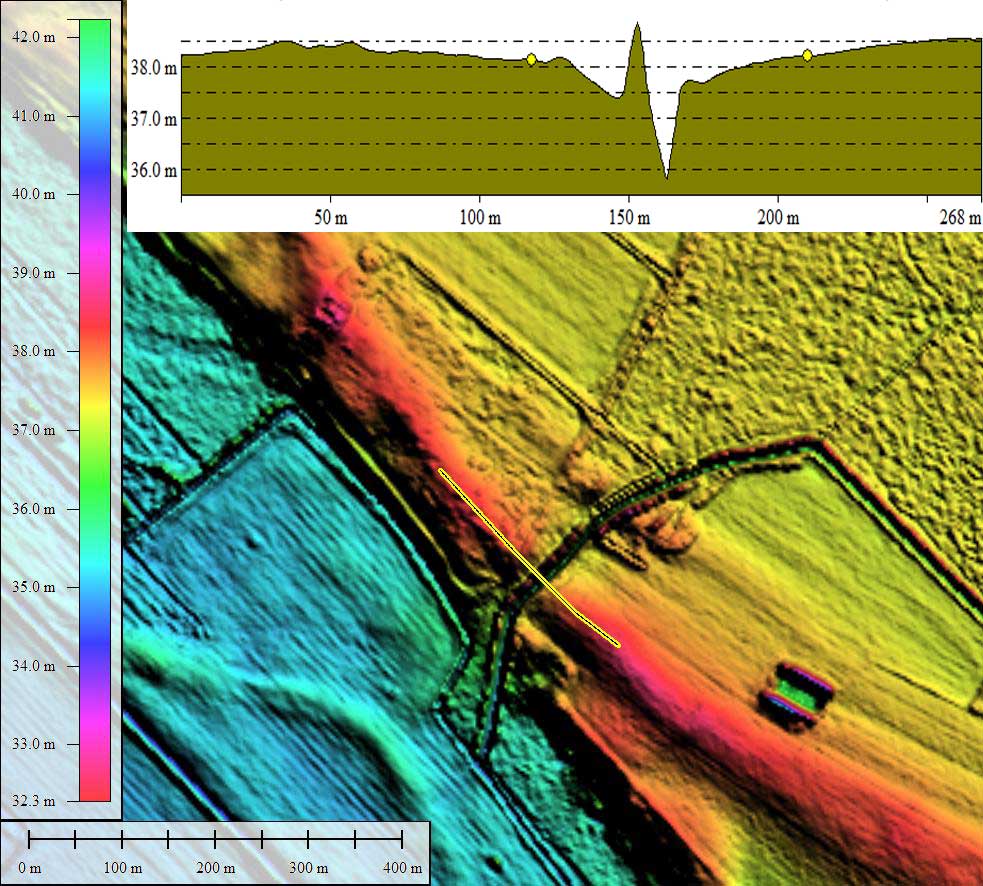
Most of the bay has been converted to farmland, likely by draining the bay through the drainage channel cut across the rim near the center of the southeastern side. I have provided a detailed elevation profile LiDAR map of this drainage ditch cut. It documents a narrow cut over 2 meters deep, which might make a good OSL dating site for the deep-rim sand.
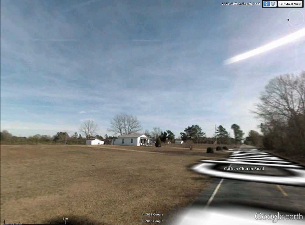
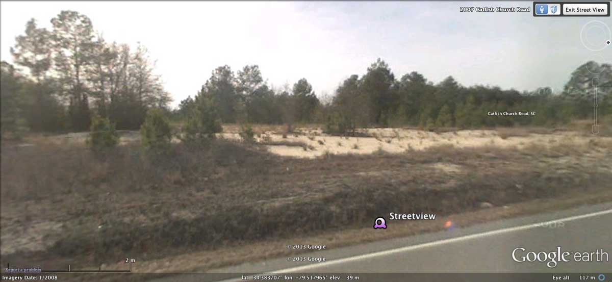
Google Streetview visualization is available of Catfish Creek Road's passage across the eastern rim of the bay, where - when traveling from the northwest - it drops into the bay floor for 3/4 kilometer, then up and over the rim and down into the small adjacent bay. The elevation profile map shows the elevation changes across this transect. The first Streetview placemark looks at homesites on left (northeast) that are on the rim, while the road bed is on floor. A second Streetview shows the sandy rim of Catfish Church Bay at point where it is being approached from the southeast, from the floor of the small adjacent bay. These can be viewed by accessing the imagery in the attached album here, or by selecting the camera icons in Google Earth from the referenced KMZ file.
This bay is ~1.5 km long on its major axis. It's rim is cut by Catfish Church Road along its northern side, where it drops in and back out on a straight line. One of the elevation profiles shows the transect along the road, where it dips down lower in the small associated bay.
Most of the bay has been converted to farmland, likely by draining the bay through the drainage channel cut across the rim near the center of the southeastern side. I have provided a detailed elevation profile LiDAR map of this drainage ditch cut. It documents a narrow cut over 2 meters deep, which might make a good OSL dating site for the deep-rim sand.
Google Streetview visualization is available of Catfish Creek Road's passage across the eastern rim of the bay, where - when traveling from the northwest - it drops into the bay floor for 3/4 kilometer, then up and over the rim and down into the small adjacent bay. The elevation profile map shows the elevation changes across this transect. The first Streetview placemark looks at homesites on left (northeast) that are on the rim, while the road bed is on floor. A second Streetview shows the sandy rim of Catfish Church Bay at point where it is being approached from the southeast, from the floor of the small adjacent bay. These can be viewed by accessing the imagery in the attached album here, or by selecting the camera icons in Google Earth from the referenced KMZ file.
- Index #: 137318_5309
- Location: 34.383644088256744,-79.52452564923645
- Major: 1.53 km . . . Minor: 0.97 km
- Eccentricity: 0.773
- Area: 117.39 hectares
- Bearing: 140.23º
- Elevation: 37.29 m
- Archetype: bayCarolina
- Effective Diameter: 1,222.56 m
Copyright 2018 by Michael Davias