Castle Bay, NC
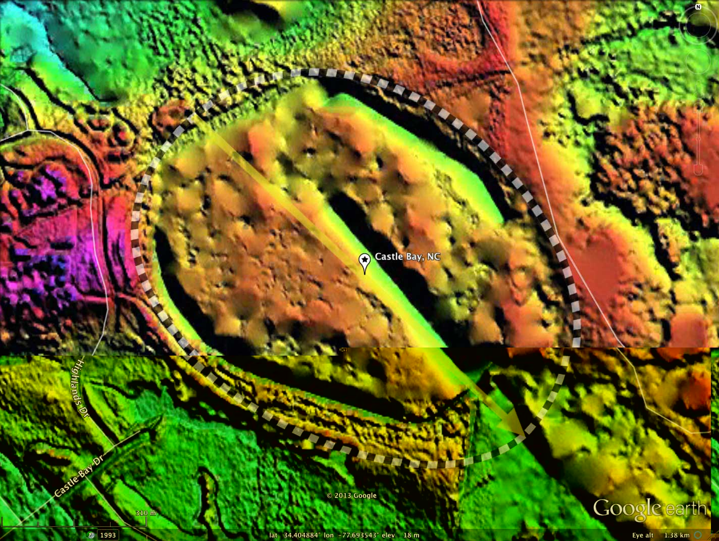
This area, close to the warm Atlantic coast, has no "leaf-Off" season, and the early-technology NC State LiDAR used to capture the elevation data was not capable of penetrating the thick canopy of Castle Bay. The outline is quite obvious in the satellite and Infrared imagery, and there is significant detail in the LiDAR as generated. Using those hints, I have captured the bay's spatial metrics with the common bayCarolina archetype. Given the poor bare-earth DEM, I am not presenting an elevation profile map in the attached album.
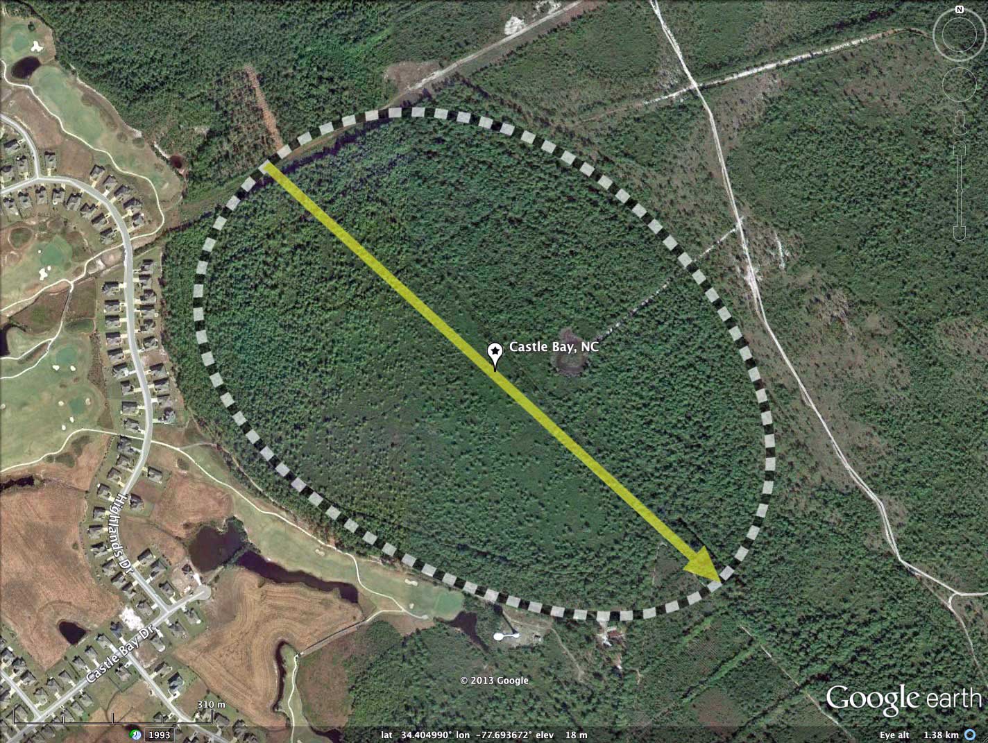
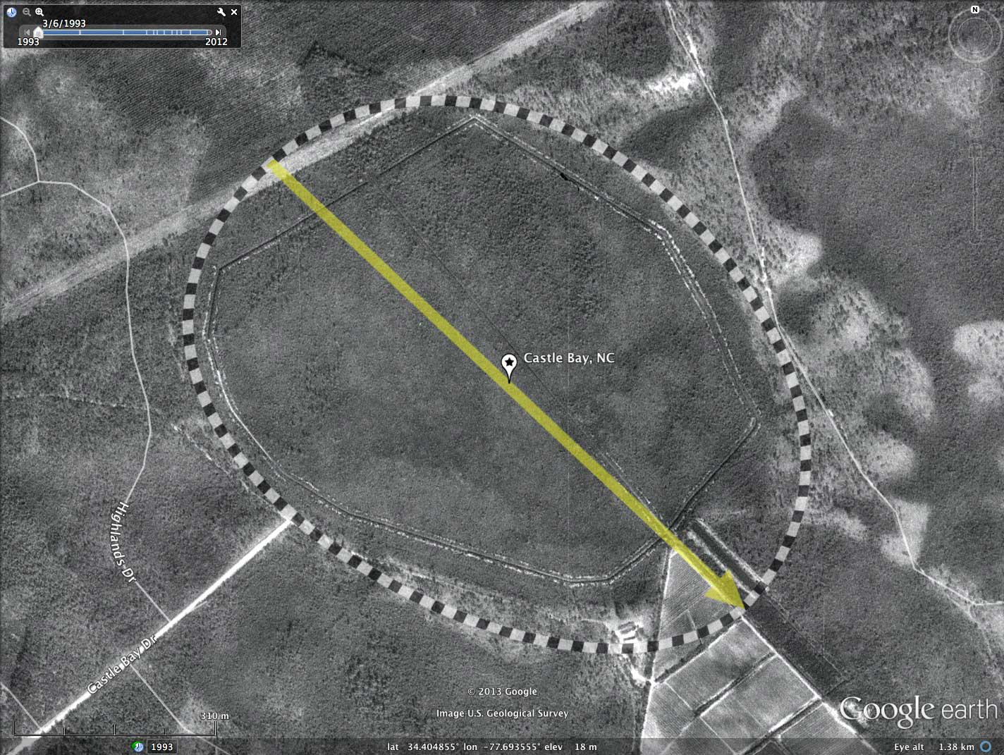
I named Castle Bay after the adjacent development and golf course, along with an observation that the LiDAR elevation image gives the sense of a moated fort. The LiDAR suggest there has been significant bay-wide ditching for drainage, including a near full circumpherial run and a deep penetration down the center of the bay, which drains out the southeastern tip. That said, it appears that the bay has a cover of natural vegetation, and there are no man-made structures within the bay.
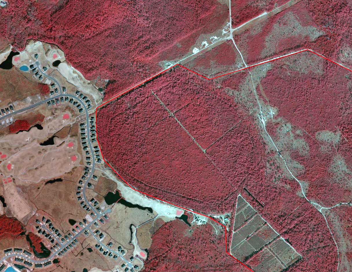
The Nature Conservancy organization owns great swaths of swam and bay land in this immediate area. This bodes well for preservation and eventual restoration of these unique habitats.
I'd love to see a state-of-the-art LiDAR data acquisition across the entire state. There are likely large numbers of bays hidden in the tall, dense canopy, given the hints seen in the LiDAR of their presence.
I named Castle Bay after the adjacent development and golf course, along with an observation that the LiDAR elevation image gives the sense of a moated fort. The LiDAR suggest there has been significant bay-wide ditching for drainage, including a near full circumpherial run and a deep penetration down the center of the bay, which drains out the southeastern tip. That said, it appears that the bay has a cover of natural vegetation, and there are no man-made structures within the bay.
The Nature Conservancy organization owns great swaths of swam and bay land in this immediate area. This bodes well for preservation and eventual restoration of these unique habitats.
I'd love to see a state-of-the-art LiDAR data acquisition across the entire state. There are likely large numbers of bays hidden in the tall, dense canopy, given the hints seen in the LiDAR of their presence.
- Index #: 137310_6177
- Location: 34.40465788559829,-77.6935410945978
- Major: 1.0 km . . . Minor: 0.76 km
- Eccentricity: 0.653
- Area: 60.11 hectares
- Bearing: 133.28º
- Elevation: 18.03 m
- Archetype: bayCarolina
- Effective Diameter: 874.839 m
Copyright 2018 by Michael Davias