Lee SP Bay, SC
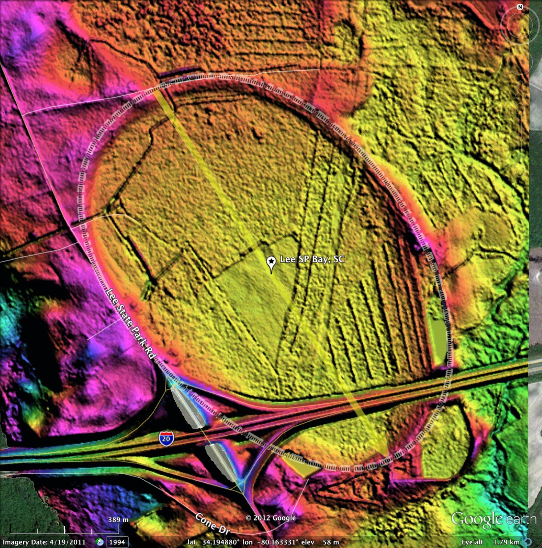
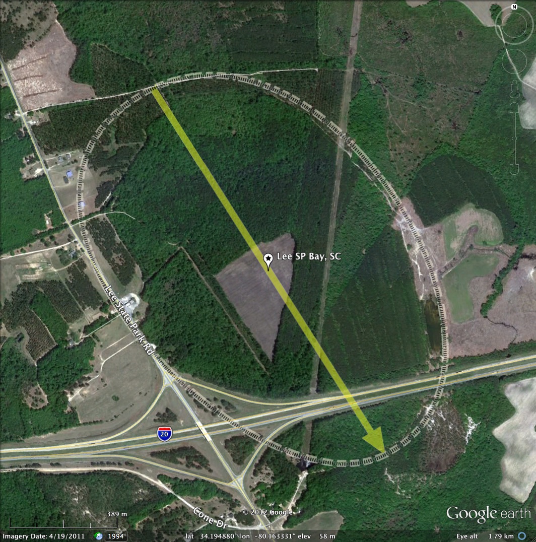
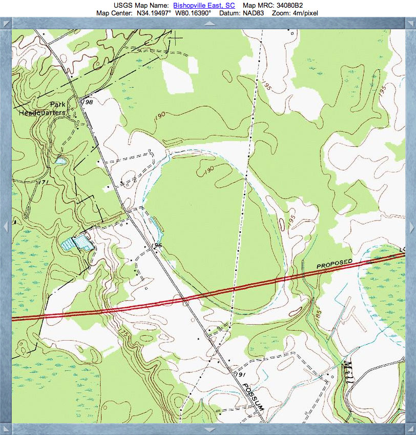
This large bay lies just outside, and to the east, of Lee State Park in South Carolina. Interstate 20 cuts off its southeastern tip, and its interchange with Lee State park Road is built on its rim.
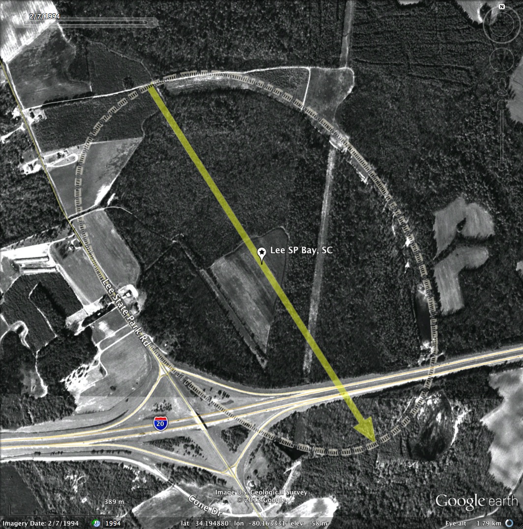
A drainage channel cuts across the northern areas of the bay and exits out to the west into the nearby Lynches River Valley.
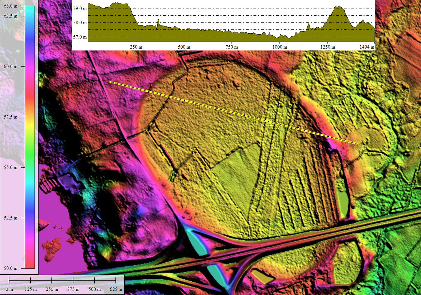
The bay conforms to the common central Carolinas' bayCarolina archetype, and is visible on the USGS Topographic map. The elevation profile map shows the bay floor to be 2 to 3 meters below the rim, which is set into the surrounding terrain except for the segment on the southeastern side.
Speaking of the southeastern rim, it does appear in the LiDAR that the slender rim in that area has been mined for its contents, leaving a scant brim where the rim formally resided. Bay rim sand is often prized for its pure quartz nature, as well as its monotonously similar grain size.
LINK for Lee State Park web site
A drainage channel cuts across the northern areas of the bay and exits out to the west into the nearby Lynches River Valley.
The bay conforms to the common central Carolinas' bayCarolina archetype, and is visible on the USGS Topographic map. The elevation profile map shows the bay floor to be 2 to 3 meters below the rim, which is set into the surrounding terrain except for the segment on the southeastern side.
Speaking of the southeastern rim, it does appear in the LiDAR that the slender rim in that area has been mined for its contents, leaving a scant brim where the rim formally resided. Bay rim sand is often prized for its pure quartz nature, as well as its monotonously similar grain size.
LINK for Lee State Park web site
- Index #: 136320_7765
- Location: 34.19488001365113,-80.16333105702506
- Major: 1.53 km . . . Minor: 1.03 km
- Eccentricity: 0.736
- Area: 124.91 hectares
- Bearing: 147.64º
- Elevation: 56.93 m
- Planform: bayCarolina
- Effective Diameter: 1,261.111 m
Copyright 2018 by Michael Davias