Stirrup Bay, SC
Presented today is a bay which has been uniquely gentrified as a centerpiece open pond in a new home development project. The site is about 2 kilometers south of Dalzell, South Carolina, and just a few hundred feet north of the Sumter city limits. The name was chosen based on Stirrup lane, which loops around the bay to the south, west, and north.
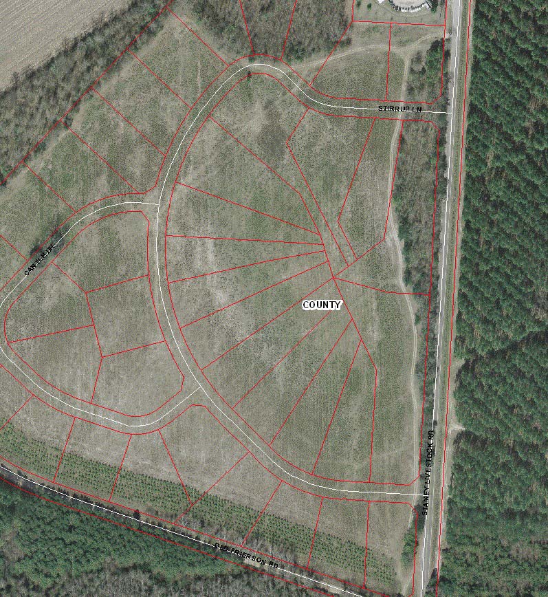
The development is quite new, and the streets of the development are not yet in Google's database. The attached album contains an image from the County's GIS system, showing the roads, including Stirrup Lane.
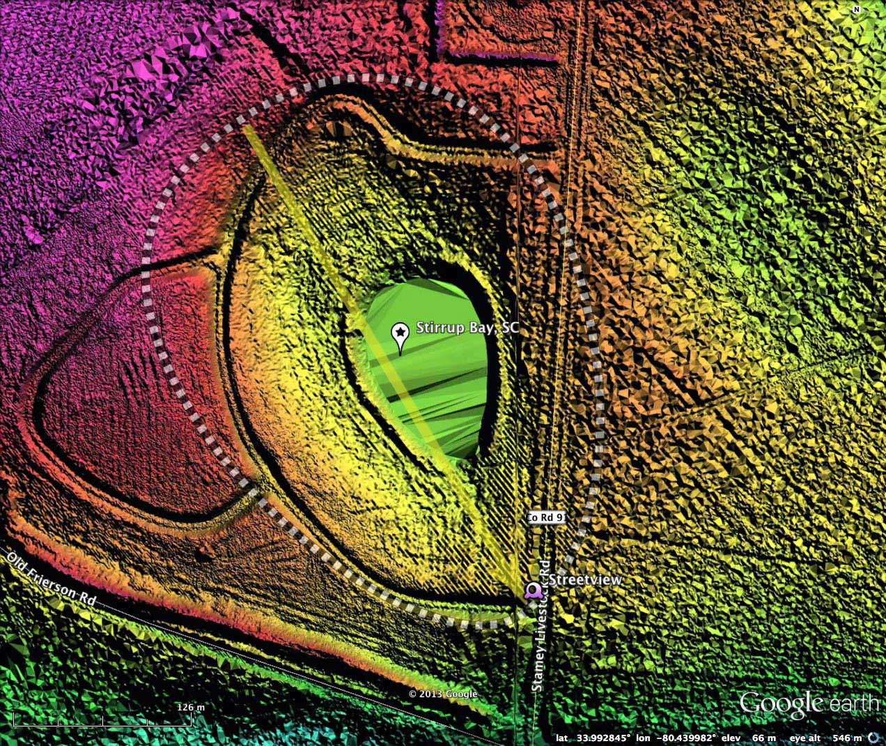
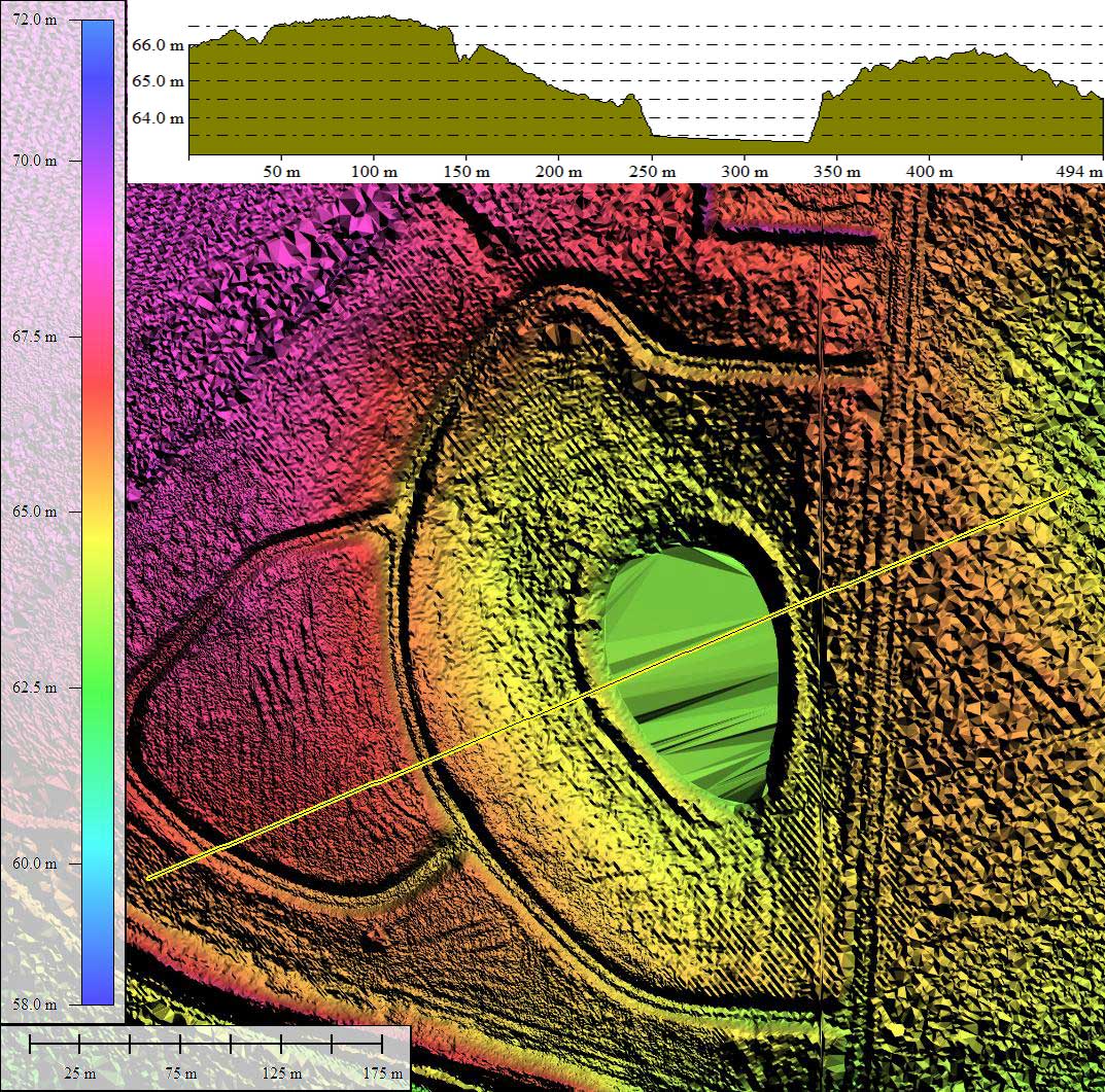
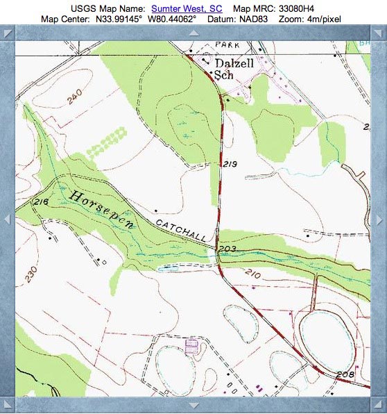
I have mapped the depression along the rim using the common baySouth overlay. And while the shape and orientation of today's open water pond matches that well, it only exists at the center of the full landform. Its orientation is similar to other bays in the immediate area. Viewing the historic imagery, the shape of the depression - as damp farmland - can be easily resolved. Conversely, the USGS Topographic map makes no suggestion a bay existed here.
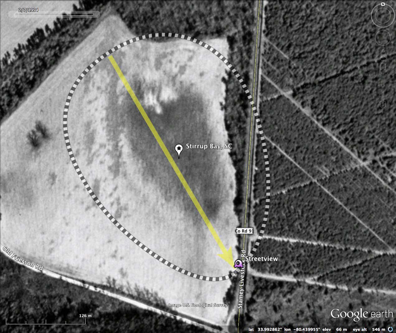
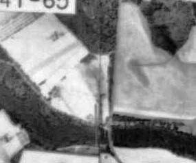
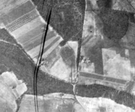
Included in the album are two historical aerial photos (1935 & 1957), sourced from the SC University Libraries Digital Collection. In both images, the bay's footprint is visible within open farm fields, and there appears to be an artificial drainage channel extending from the south end of the bay down to the nearby drainage.
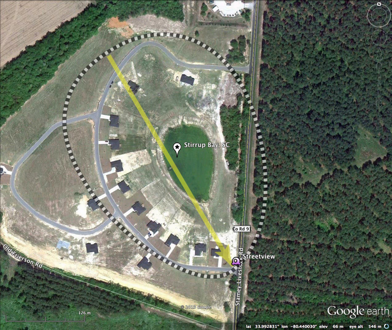
The LiDAR, being quite new, shows the site development and roadbeds prior to any home construction. There are only slight indications that there had been a drainage ditch out of the bay depression, but it is no longer as apparent as in the historical photography. The 2011 satellite imagery documents the homes were constructed radially along the upper rim area, and a county-source property map confirms the home-site boundaries.
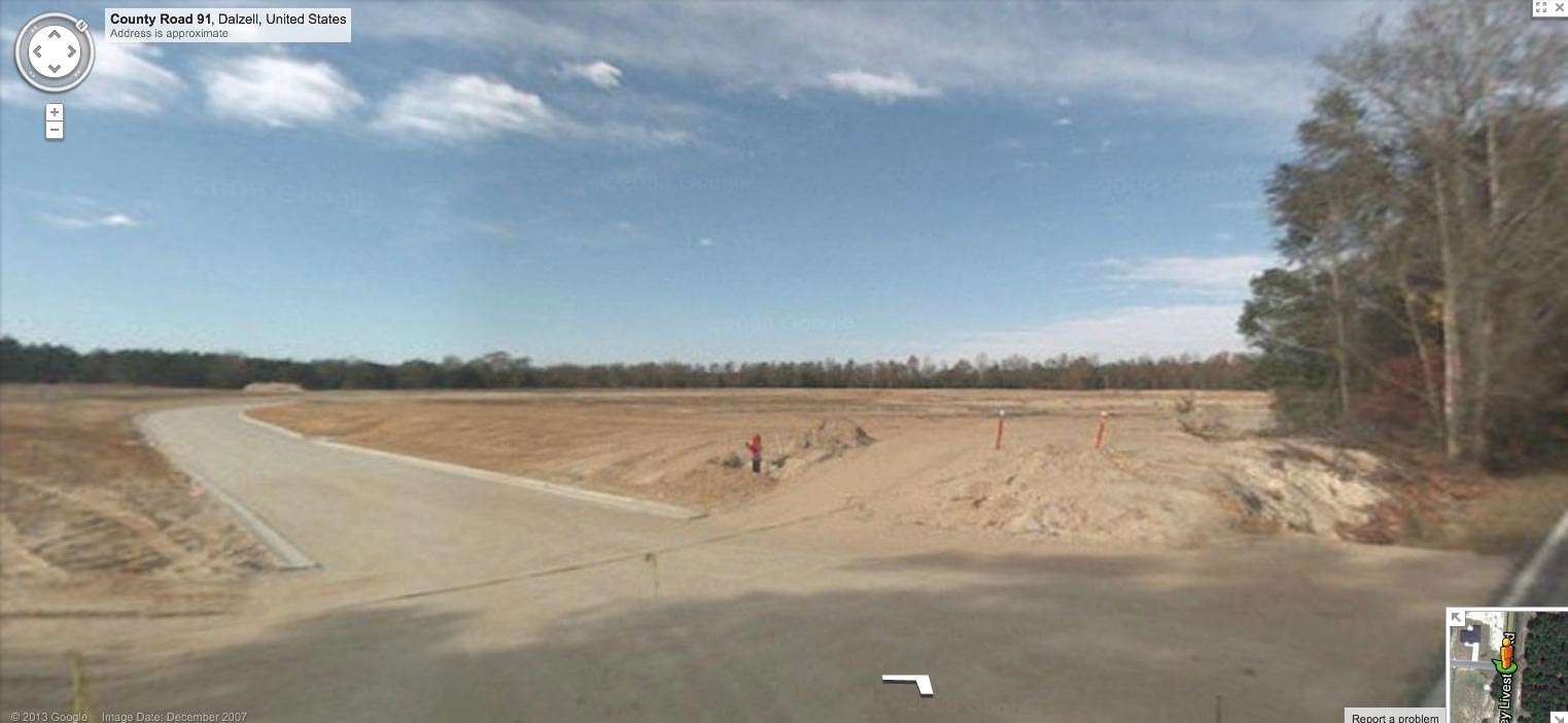
Google Streetview imagery is available along the adjacent roadway (County Rd 91), and a still image below shows the site development in progress (and a LOT of sand), but fails to give a glimpse down into the bay. Browse interactively in Google maps using this LINK.:
The development is quite new, and the streets of the development are not yet in Google's database. The attached album contains an image from the County's GIS system, showing the roads, including Stirrup Lane.
I have mapped the depression along the rim using the common baySouth overlay. And while the shape and orientation of today's open water pond matches that well, it only exists at the center of the full landform. Its orientation is similar to other bays in the immediate area. Viewing the historic imagery, the shape of the depression - as damp farmland - can be easily resolved. Conversely, the USGS Topographic map makes no suggestion a bay existed here.
Included in the album are two historical aerial photos (1935 & 1957), sourced from the SC University Libraries Digital Collection. In both images, the bay's footprint is visible within open farm fields, and there appears to be an artificial drainage channel extending from the south end of the bay down to the nearby drainage.
The LiDAR, being quite new, shows the site development and roadbeds prior to any home construction. There are only slight indications that there had been a drainage ditch out of the bay depression, but it is no longer as apparent as in the historical photography. The 2011 satellite imagery documents the homes were constructed radially along the upper rim area, and a county-source property map confirms the home-site boundaries.
Google Streetview imagery is available along the adjacent roadway (County Rd 91), and a still image below shows the site development in progress (and a LOT of sand), but fails to give a glimpse down into the bay. Browse interactively in Google maps using this LINK.:
- Index #: 135321_9775
- Location: 33.99272984972297,-80.4399681358757
- Major: 0.4 km . . . Minor: 0.3 km
- Eccentricity: 0.675
- Area: 9.69 hectares
- Bearing: 149.53º
- Elevation: 62.9 m
- Archetype: baySouth
- Effective Diameter: 351.25 m
Copyright 2018 by Michael Davias