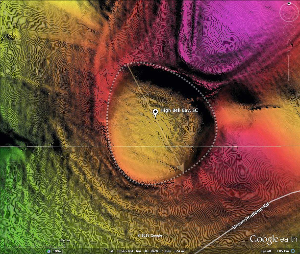
High Bay Bell, SC
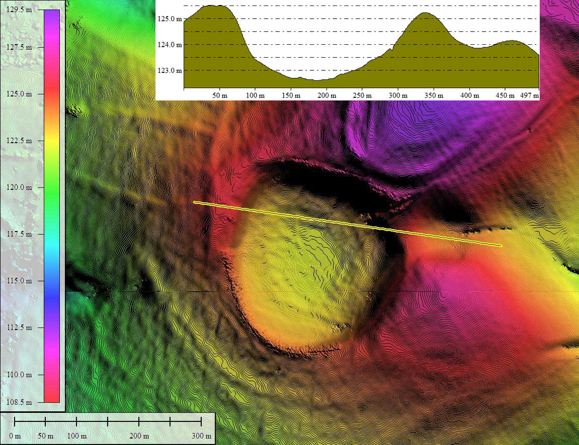
Located 7km west of Salley, SC, this 300 meter bay presents itself with the bayBell archetype shape seen most often in the DelMarVa peninsula and NJ. But here it is, perfectly aligned to the calculated bearing.
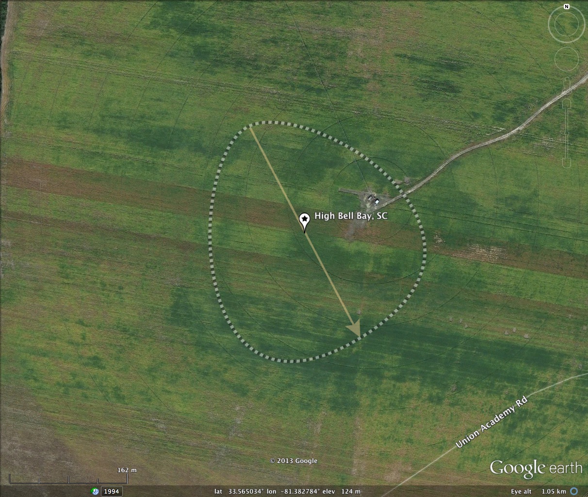
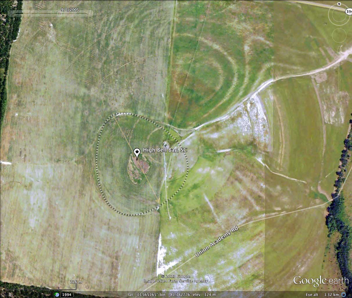
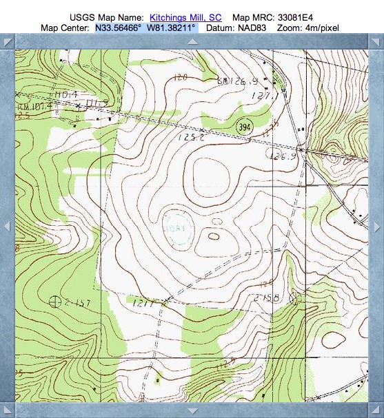
The bay is situated near the center of the trace of a 500 meter irrigation gantry system, which sweeps an area of open agricultural fields 1 kilometer in diameter (reference 2005 GE Historical Image in attached album). Likely, the existence of this basin is not recognized on the ground, yet it makes quite a spectacular impression in the LiDAR. Remember, the LiDAR has a 20x elevation exaggeration engineered into the hsv-shading imagery.
The bay is situated near the center of the trace of a 500 meter irrigation gantry system, which sweeps an area of open agricultural fields 1 kilometer in diameter (reference 2005 GE Historical Image in attached album). Likely, the existence of this basin is not recognized on the ground, yet it makes quite a spectacular impression in the LiDAR. Remember, the LiDAR has a 20x elevation exaggeration engineered into the hsv-shading imagery.
- Index #: 134325_2553
- Location: 33.564948324502545,-81.3828275428643
- Major: 0.32 km . . . Minor: 0.28 km
- Eccentricity: 0.43
- Area: 7.31 hectares
- Bearing: 153.37º
- Elevation: 123.67 m
- Archetype: bayBell
- Effective Diameter: 305.08 m
Copyright 2018 by Michael Davias