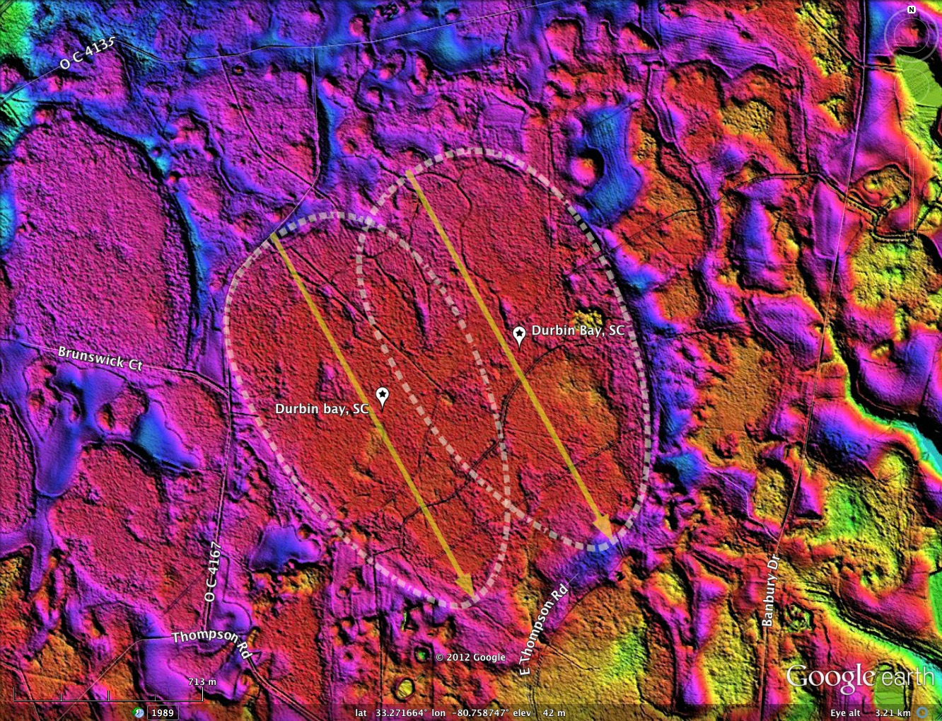
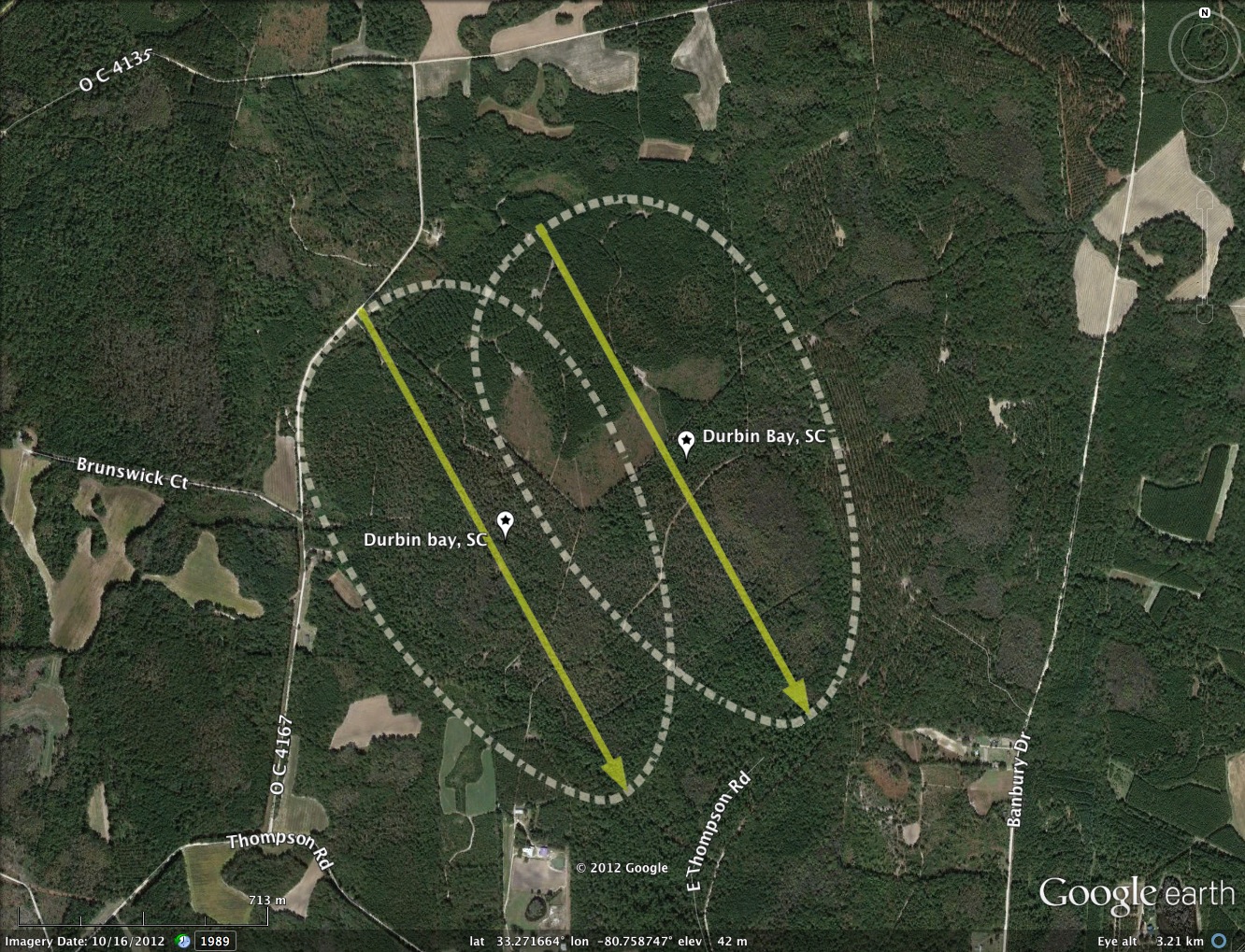
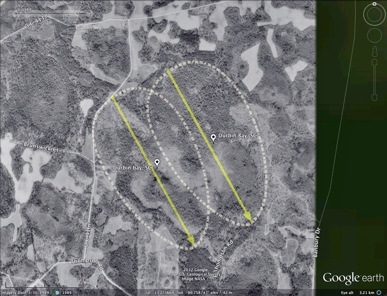
Durbin Bay, SC
The LiDAR view of Durbin Bay in South Carolina reveals it may be composed of two co-joined baySouth archetype bays
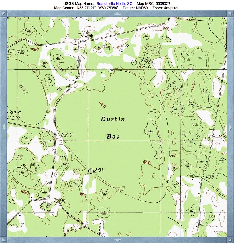
The topographic map, shown in the album, does not identify the notch on the northwest end of the bay, but it does provide the name Durbin Bay to this location. I have not found any references to this landform in the literature. Should the reader have any knowledge of the bay's history, please consider sharing it via the comment section.
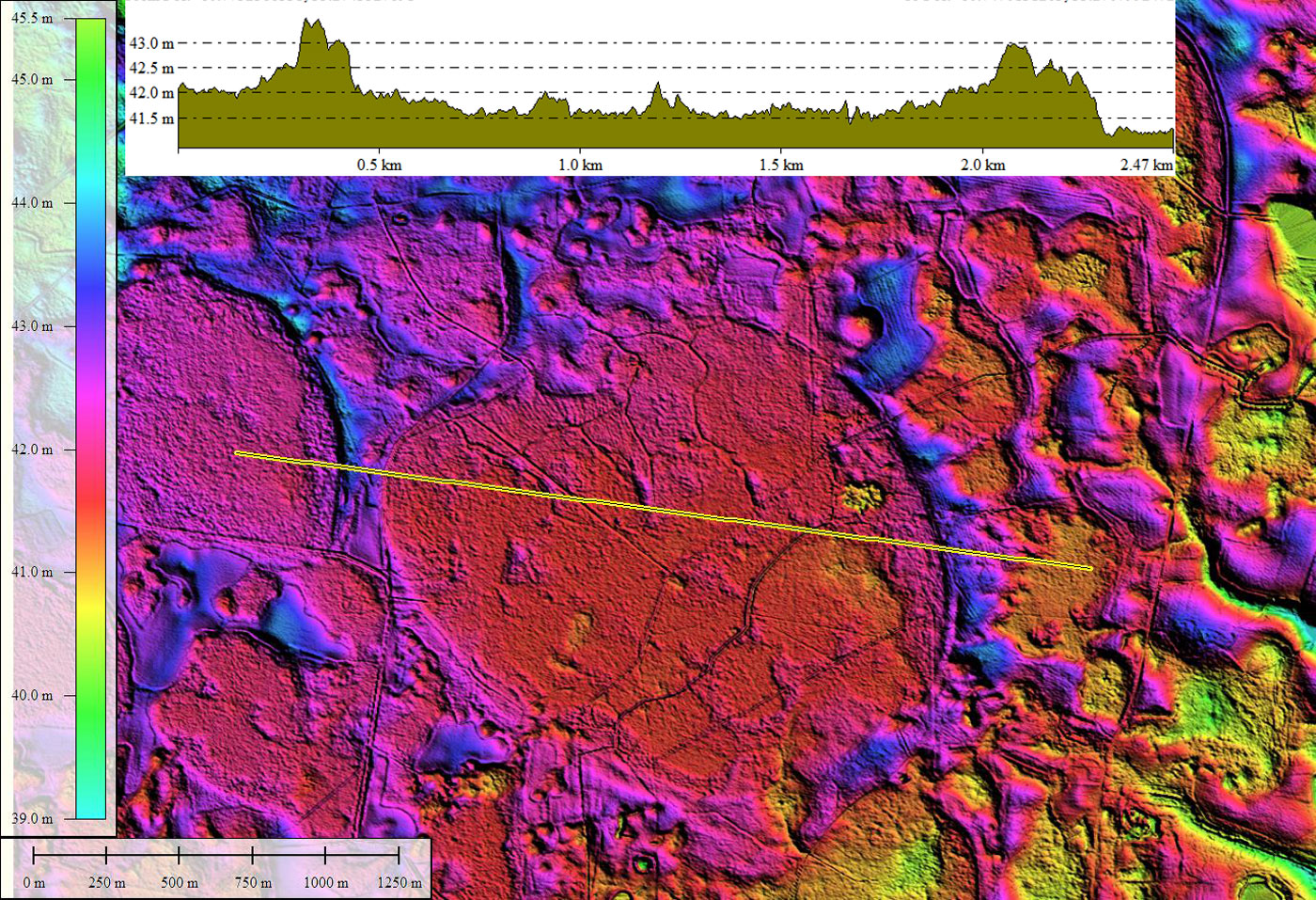
Metrics For Durbin Bay components from the Survey:
Durbin Bay A, SC
The topographic map, shown in the album, does not identify the notch on the northwest end of the bay, but it does provide the name Durbin Bay to this location. I have not found any references to this landform in the literature. Should the reader have any knowledge of the bay's history, please consider sharing it via the comment section.
Metrics For Durbin Bay components from the Survey:
Durbin Bay A, SC
- Index #: 133323_0704
- Location: 33.26992576590315,-80.76235918494937
- Major: 1.6 km . . . Minor: 0.87 km
- Eccentricity: 0.84
- Area: 109.79 hectares
- Bearing: 151.05º
- Elevation: 41.67 m
- Planform: baySouth
- Effective Diameter: 1,182.322 m
- Index #: 133323_0802
- Location: 33.27198852065904,-80.75680158154645
- Major: 1.62 km . . . Minor: 0.9 km
- Eccentricity: 0.831
- Area: 115.67 hectares
- Bearing: 151.05º
- Elevation: 41.71 m
- Planform: baySouth
- Effective Diameter: 1,213.57 m
Copyright 2018 by Michael Davias