Morse Code Bay, SC
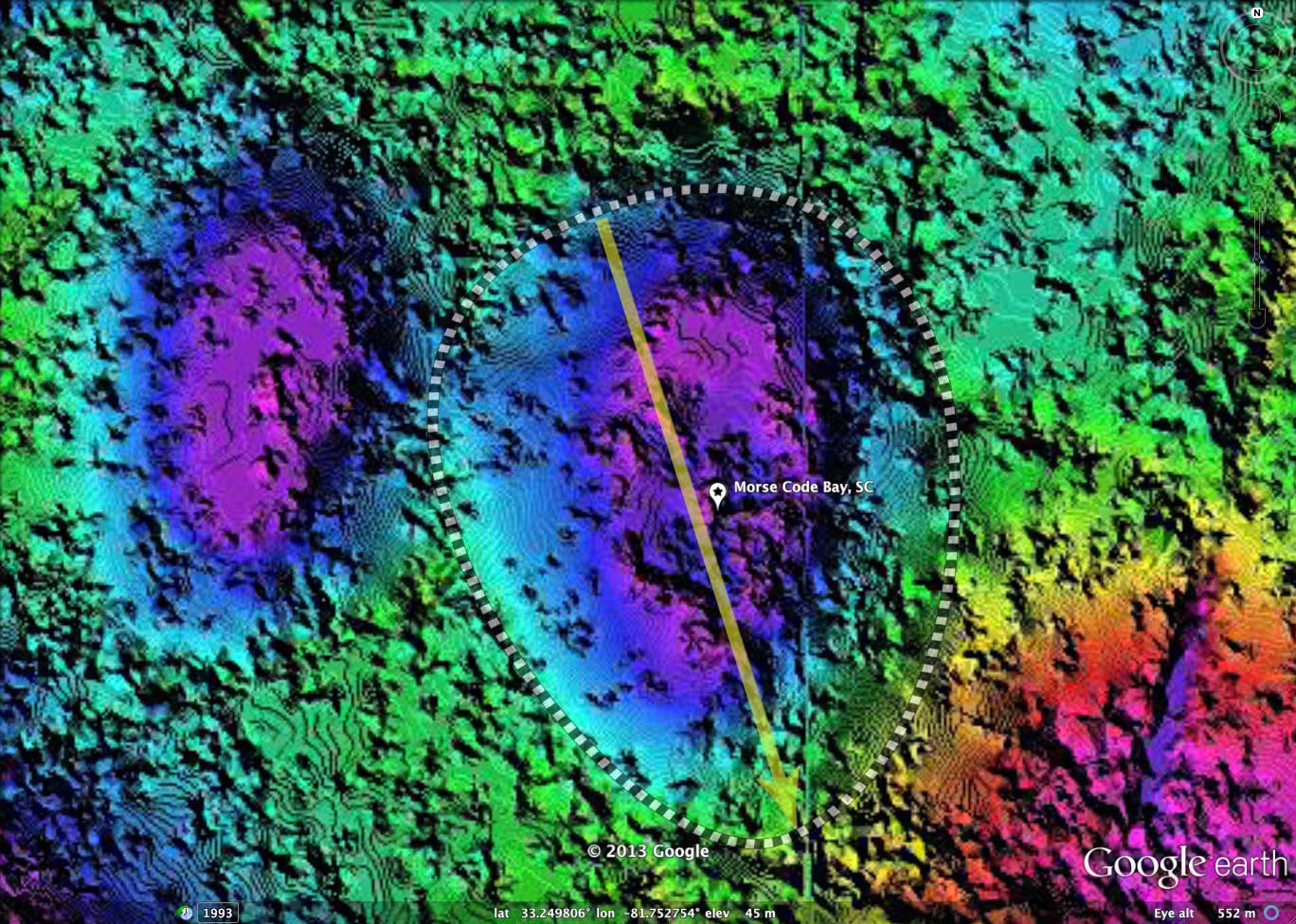
Morse Code Bay is located within the Savannah River Site (SRS) in southern South Carolina. It has effectively been "protected" since the 1950s, as part of a government nuclear research area. The location identified as the bay is situated adjacent to yet another similar-sized depression; perhaps both are considered together when researched. I have no idea how the name became applied to their landform; perhaps it was the dot-dot presentation of the two side-by-side depressions.
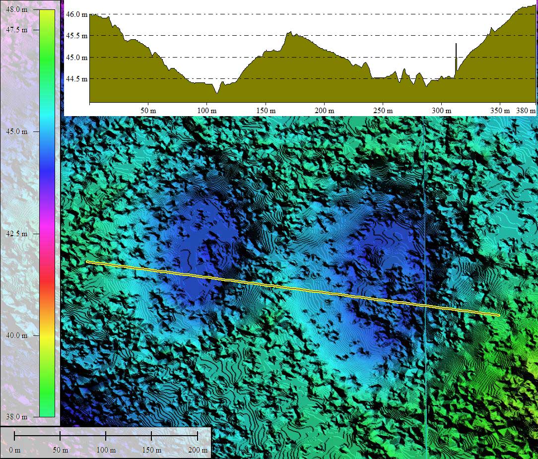
The shape of the named bay correlates well to the baySouth archetype, and its major axis is aligned with numerous other bays within the SRS.
The University of Georgia hosts the Savannah River Ecology Laboratory [LINK], which has conducted research at numerous bays across the SRS, including Morse Code Bay.
The following description is from "Guide to the Reptiles and Amphibians of the Savannah River Site" by W.Gibbons, J. Gibbons & R. Semlitsch:
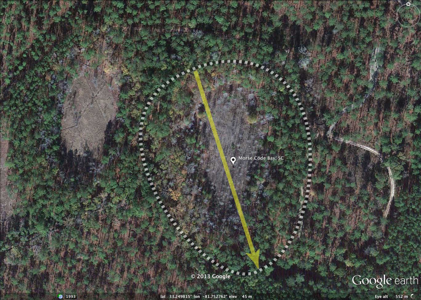
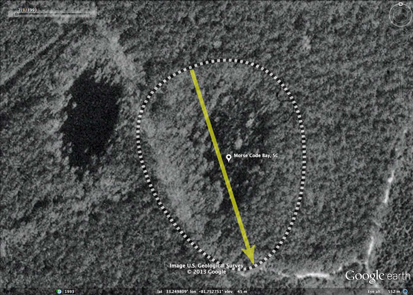
This Carolina bay is approximately 2 ha in area, has a maximum water depth of 0.5 m, and usually dries each summer. The bay is open, and vegetation such as Scirpus, Juncus, and Cephalanthus covers the basin. It is surrounded by pine plantations interspersed with pockets of mixed hardwoods.
The shape of the named bay correlates well to the baySouth archetype, and its major axis is aligned with numerous other bays within the SRS.
The University of Georgia hosts the Savannah River Ecology Laboratory [LINK], which has conducted research at numerous bays across the SRS, including Morse Code Bay.
The following description is from "Guide to the Reptiles and Amphibians of the Savannah River Site" by W.Gibbons, J. Gibbons & R. Semlitsch:
This Carolina bay is approximately 2 ha in area, has a maximum water depth of 0.5 m, and usually dries each summer. The bay is open, and vegetation such as Scirpus, Juncus, and Cephalanthus covers the basin. It is surrounded by pine plantations interspersed with pockets of mixed hardwoods.
- Index #: 132327_9901
- Location: 33.24973911354114,-81.75276755176105
- Major: 0.24 km . . . Minor: 0.19 km
- Eccentricity: 0.616
- Area: 3.75 hectares
- Bearing: 162.33º
- Elevation: 45.0 m
- Archetype: baySouth
- Effective Diameter: 218.509 m
Copyright 2018 by Michael Davias