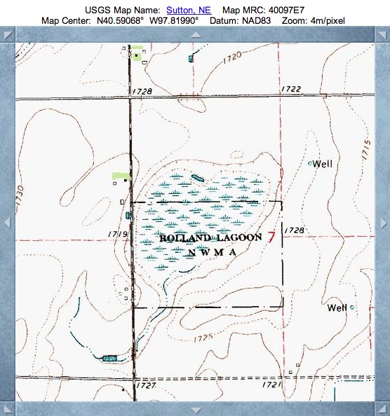
Rolland Lagoon, NE
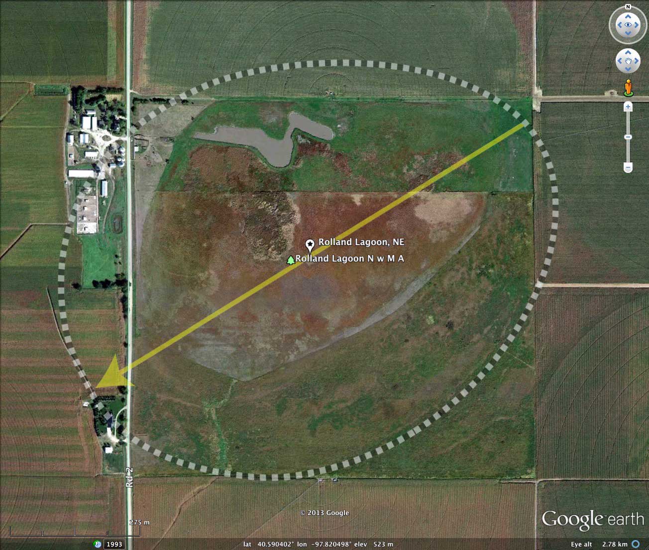
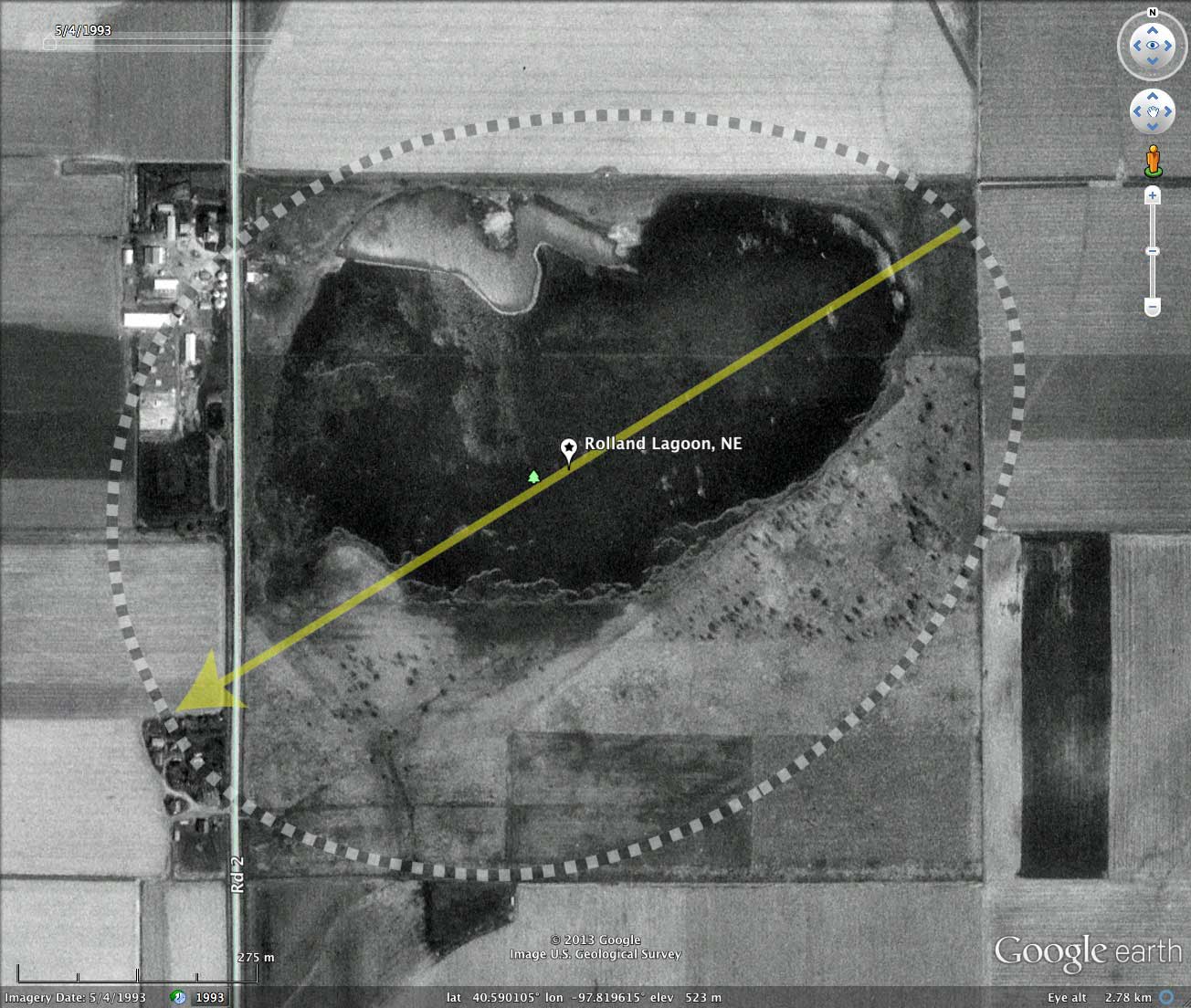
This basin in Nebraska straddles the Clay-Fillmore County line. It is the site of the Rolland Lagoon NWMA. See the listing on the Nebraska Birding Trails web SITE.
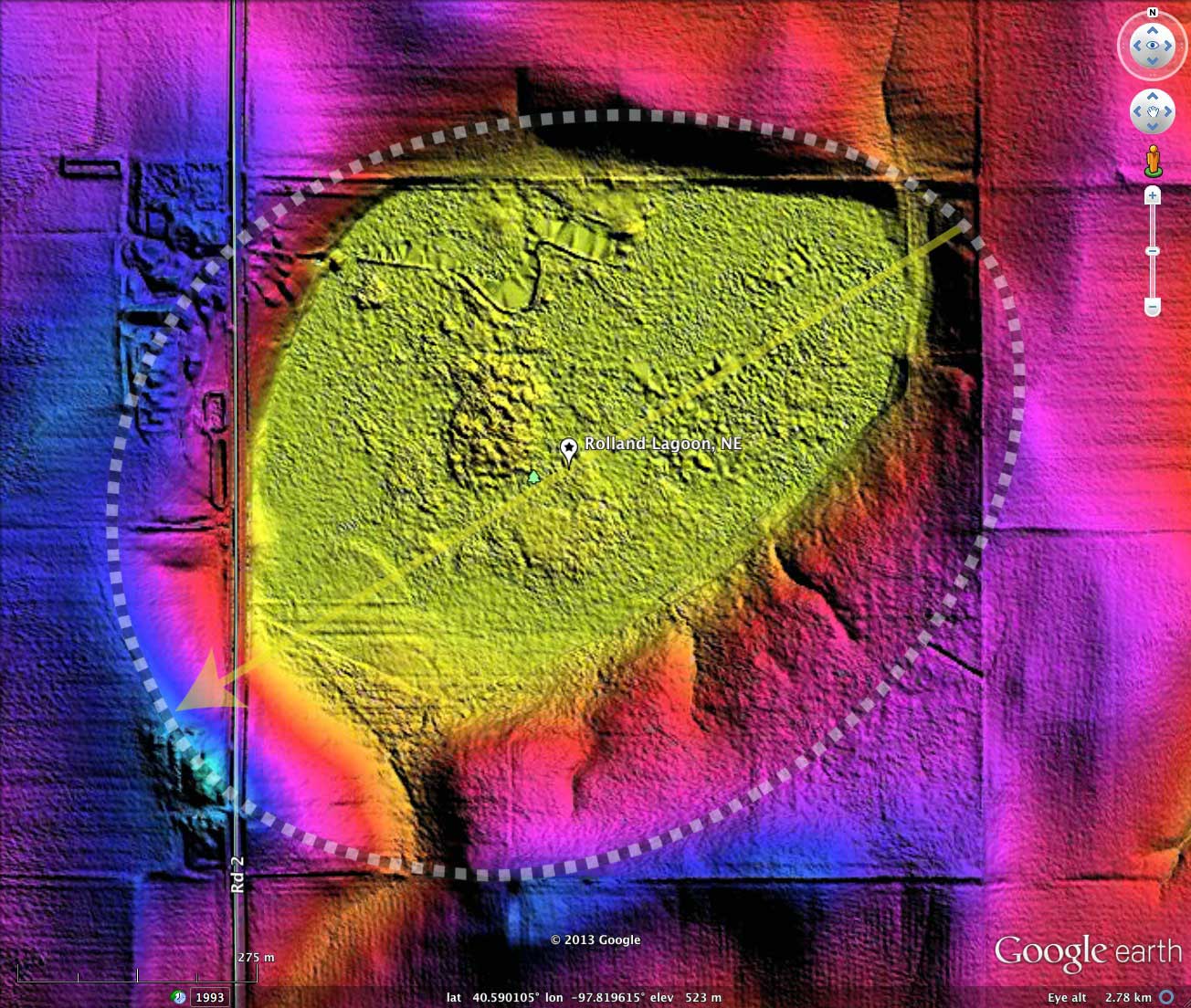
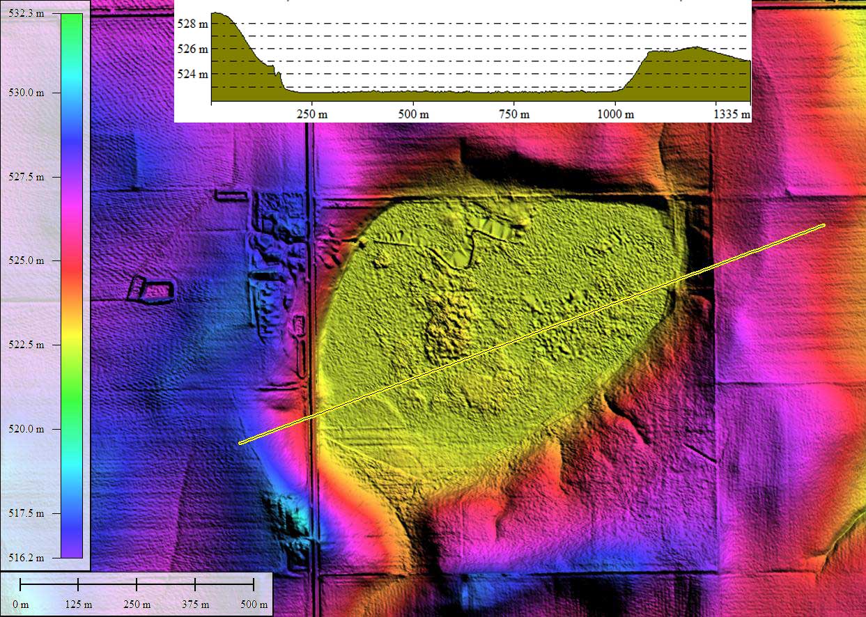
The common bayWest archetype is a good fit to the rim of this basin, and the orientation adheres to the value expected from the triangulation network. As always, the shape and orientation of the "wetland" within the basin is a poor indication of the basin's actual characteristics as seen in the LiDAR.
The common bayWest archetype is a good fit to the rim of this basin, and the orientation adheres to the value expected from the triangulation network. As always, the shape and orientation of the "wetland" within the basin is a poor indication of the basin's actual characteristics as seen in the LiDAR.
- Index #: 162391_3627
- Location: 40.59046194747745,-97.81999533616118
- Major: 1.09 km . . . Minor: 0.87 km
- Eccentricity: 0.602
- Area: 75.71 hectares
- Bearing: 238.35º
- Elevation: 522.64 m
- Archetype: bayWest
- Effective Diameter: 981.818 m
Copyright 2018 by Michael Davias