Govan Bay, SC
Govan Bay was given its name by me, after the locality of Govan located immediately to the west.
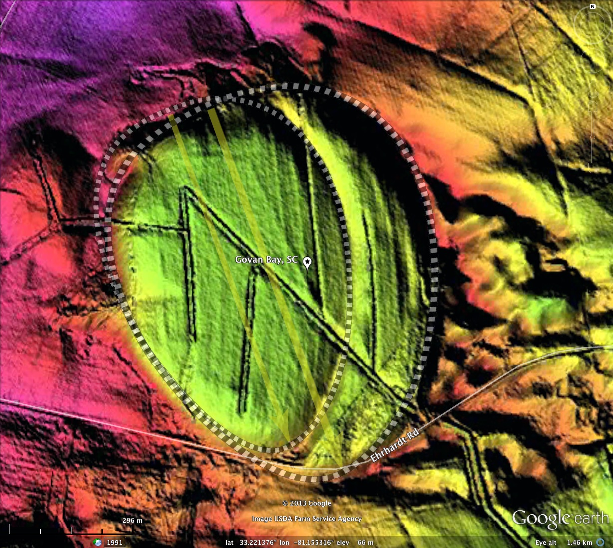
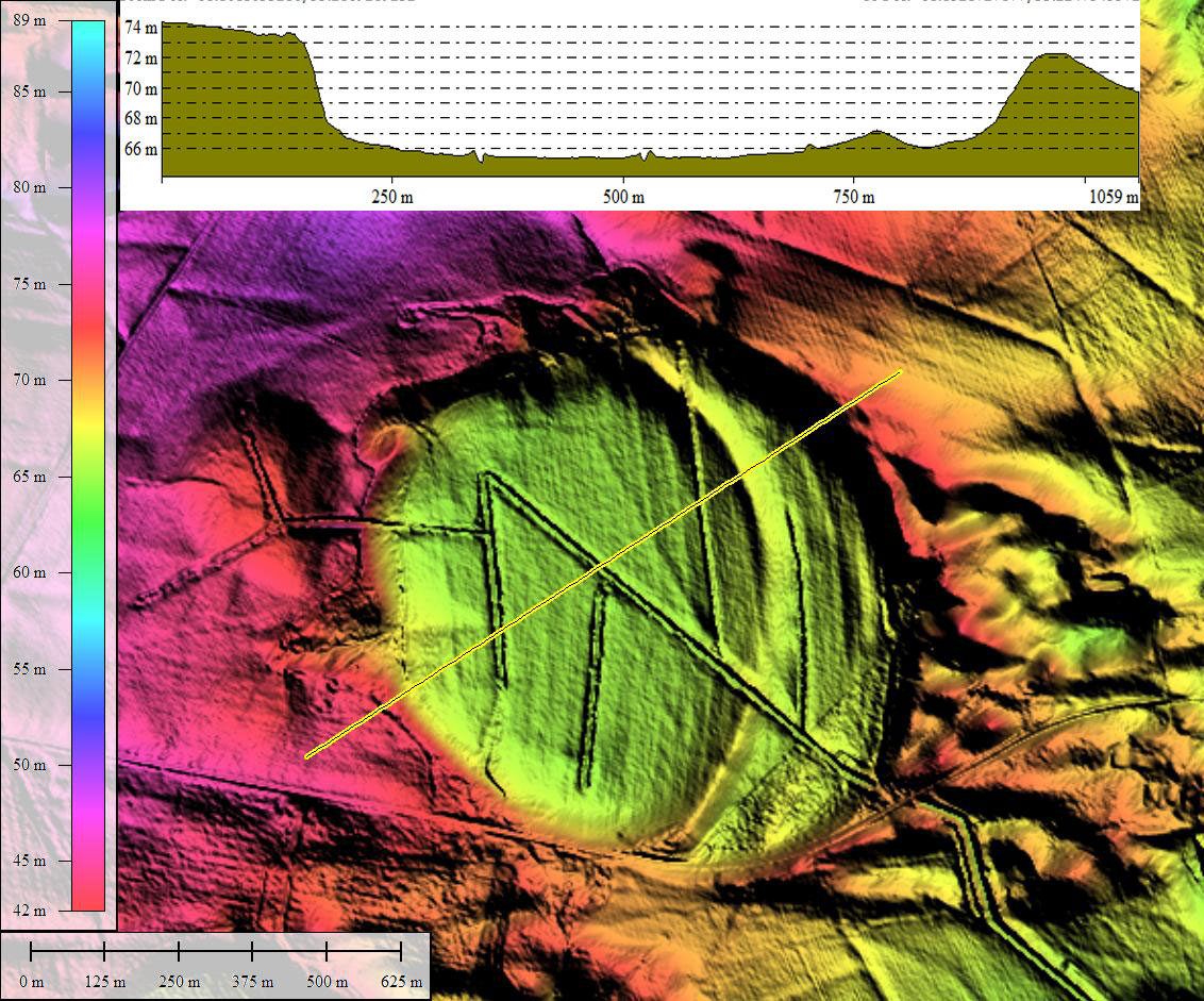
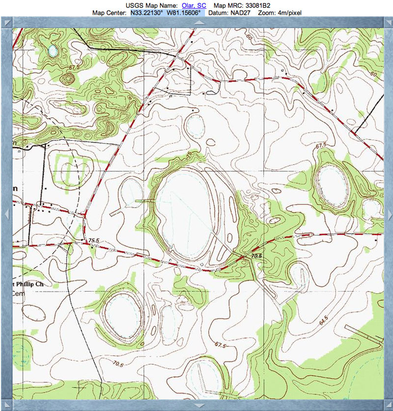
This is a large landform, just shy of a kilometer in diameter. It consists of two baySouth archetype shapes offset slightly east-west from each other. If they were a little further apart, a heart-shaped bay may have resulted. The elevation profile map shows the bay floor to be over 8 meters below the surrounding terrain.
The intervening rim is very well expressed, compared to some co-joined bays where there is no dividing rim apparent. Given that the 2nd rim is less than a meter high (see elevation profile map) , this might be simply a sign that the bay floor has not accumulated as much sediment as others where the dividing rim is lacking in the LiDAR.
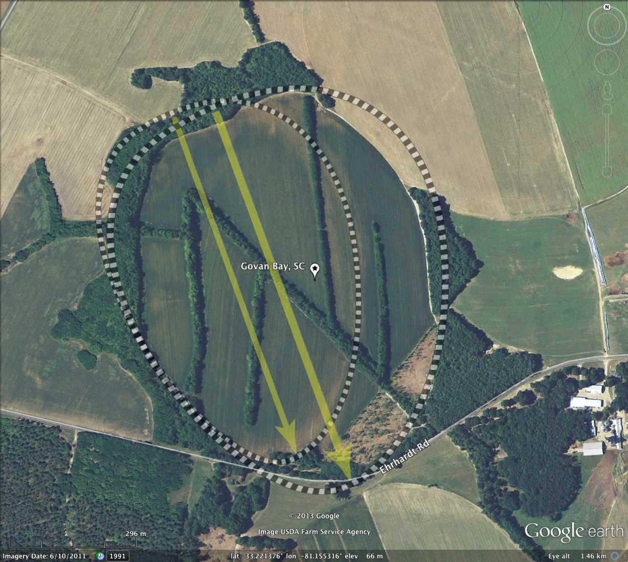
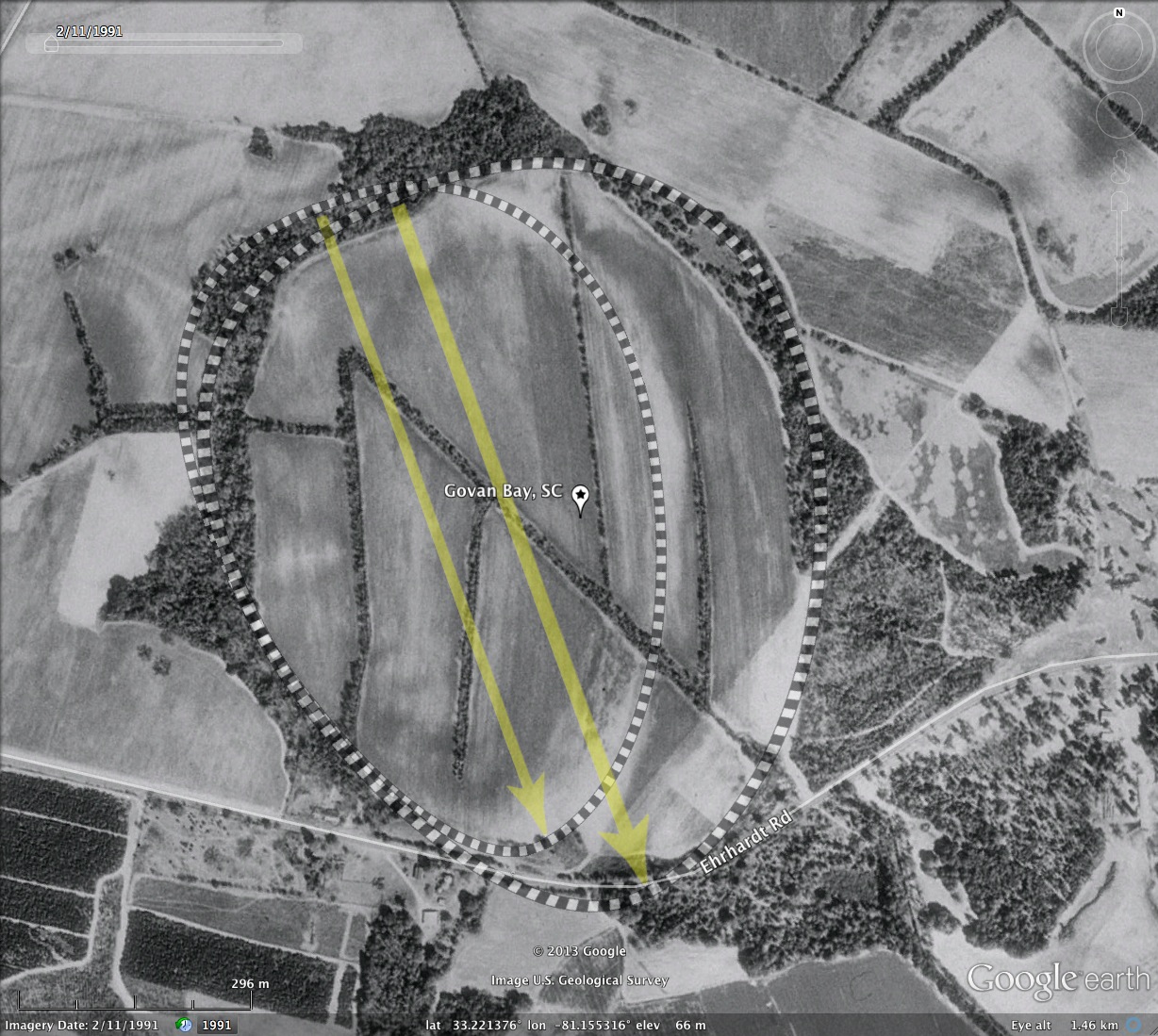
The LiDAR shows no apparent natural drainage into or out of the bay. An extensive network of ditches has been cut into the bay to drain it. The ditches form an interesting "double-N" shape, and drain out both westward and southeastward. The bay is currently in agricultural use.
This is a large landform, just shy of a kilometer in diameter. It consists of two baySouth archetype shapes offset slightly east-west from each other. If they were a little further apart, a heart-shaped bay may have resulted. The elevation profile map shows the bay floor to be over 8 meters below the surrounding terrain.
The intervening rim is very well expressed, compared to some co-joined bays where there is no dividing rim apparent. Given that the 2nd rim is less than a meter high (see elevation profile map) , this might be simply a sign that the bay floor has not accumulated as much sediment as others where the dividing rim is lacking in the LiDAR.
The LiDAR shows no apparent natural drainage into or out of the bay. An extensive network of ditches has been cut into the bay to drain it. The ditches form an interesting "double-N" shape, and drain out both westward and southeastward. The bay is currently in agricultural use.
- Index #: 132324_8862 A
- Location: 33.22137573084353,-81.15531625129937
- Major: 0.95 km . . . Minor: 0.63 km
- Eccentricity: 0.751
- Area: 47.41 hectares
- Bearing: 156.11º
- Elevation: 65.56 m
- Planform: baySouth
- Effective Diameter: 776.944 m
- Index #: 132324_8862 B
- Location: 33.22137573084353,-81.15531625129937
- Major: 0.95 km . . . Minor: 0.63 km
- Eccentricity: 0.751
- Area: 47.41 hectares
- Bearing: 156.11º
- Elevation: 65.56 m
- Archetype: baySouth
- Effective Diameter: 776.944 m
Copyright 2018 by Michael Davias