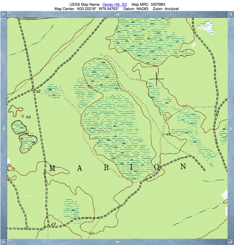
Red Bluff Bay, SC
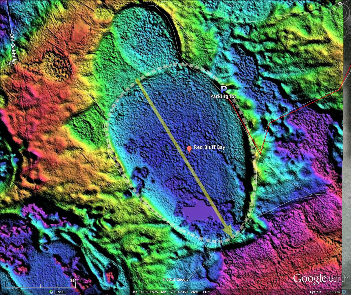
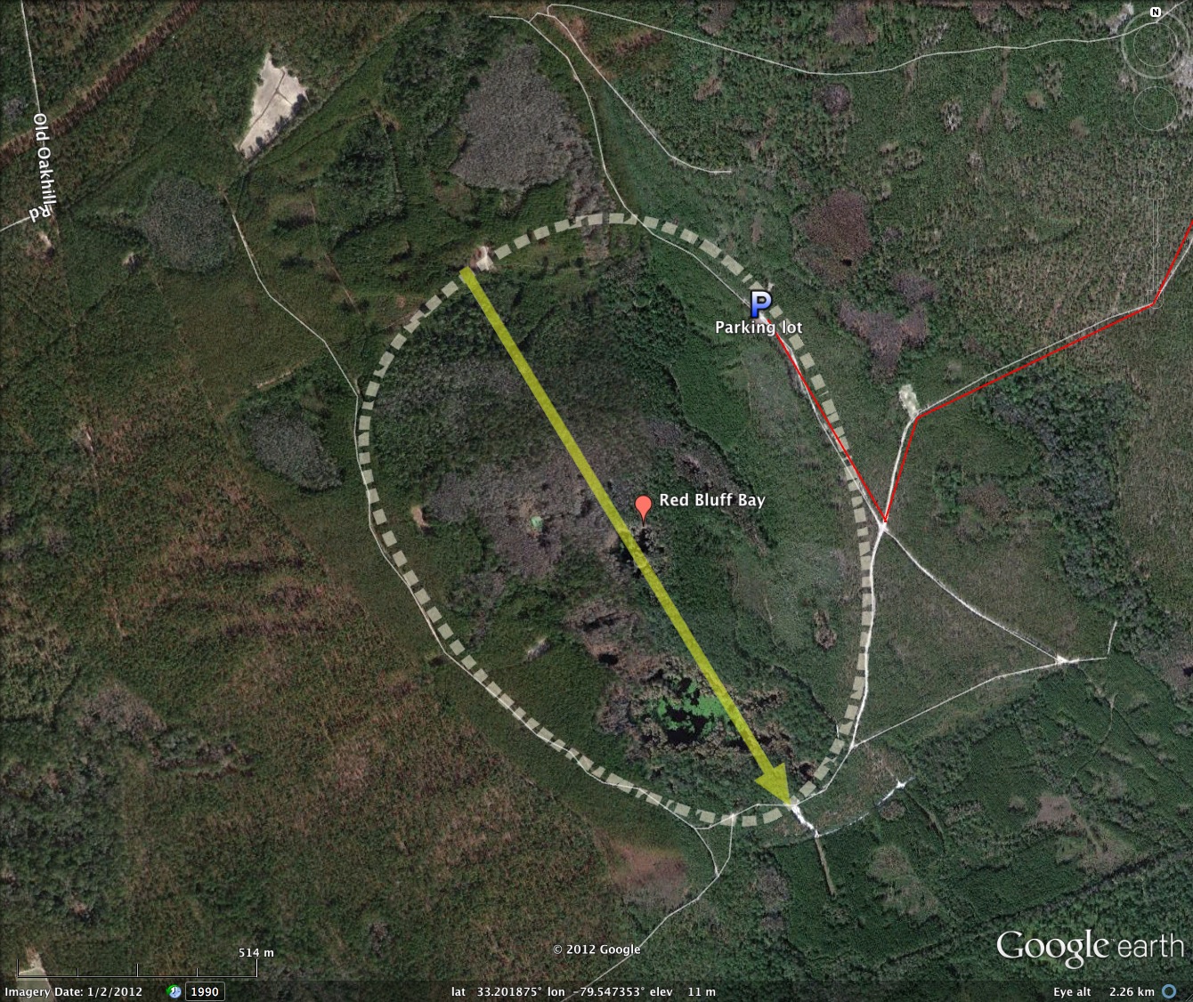
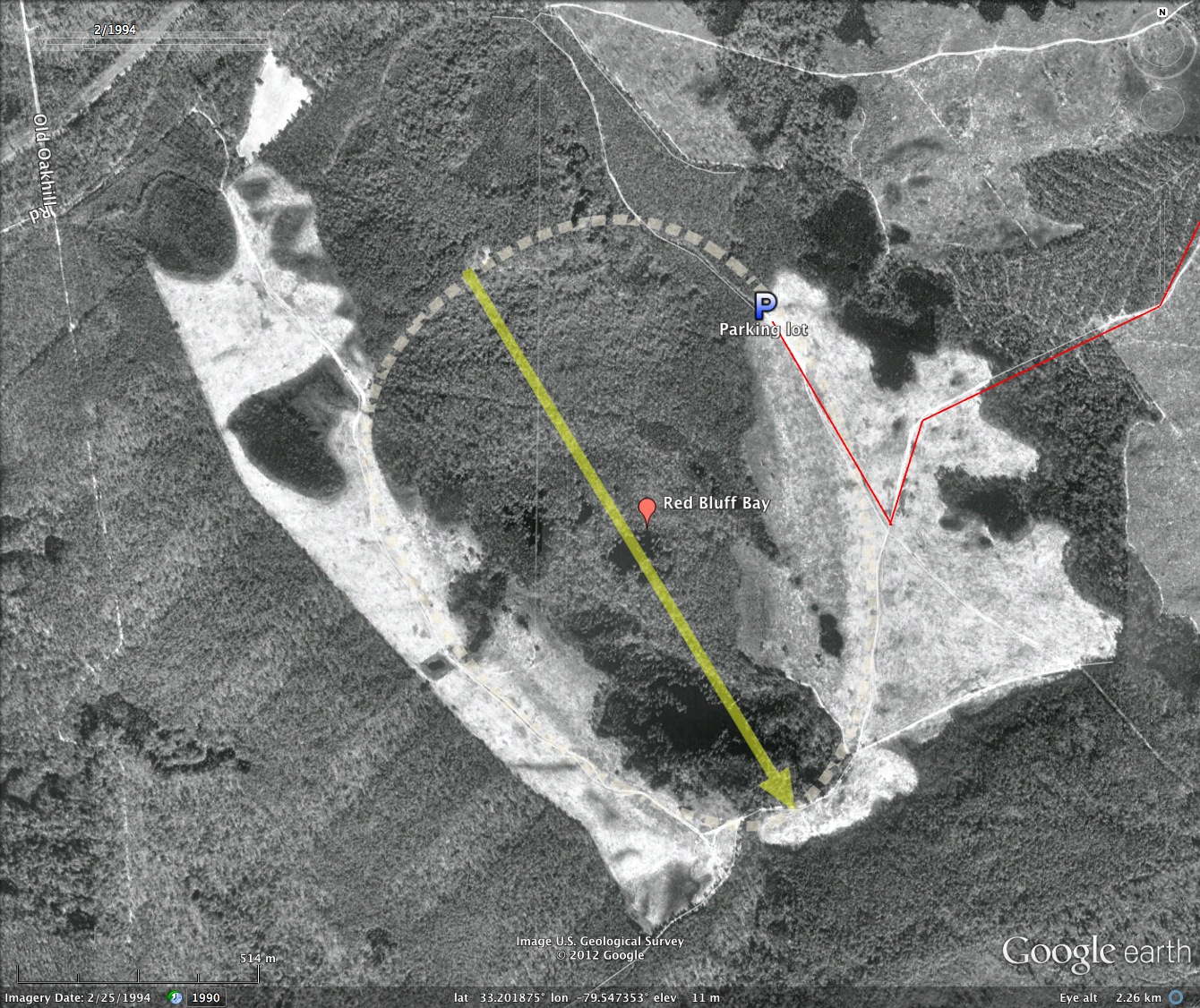
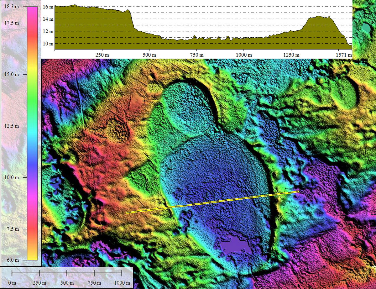
Red Bluff Bay is one of the better-know bays within the Francis Marion National Forest. The shape is the baySouth archetype, and presents very well in the LiDAR. The location is a paleo-shoreline ridge, 10 miles southeast of Jamestown, SC.
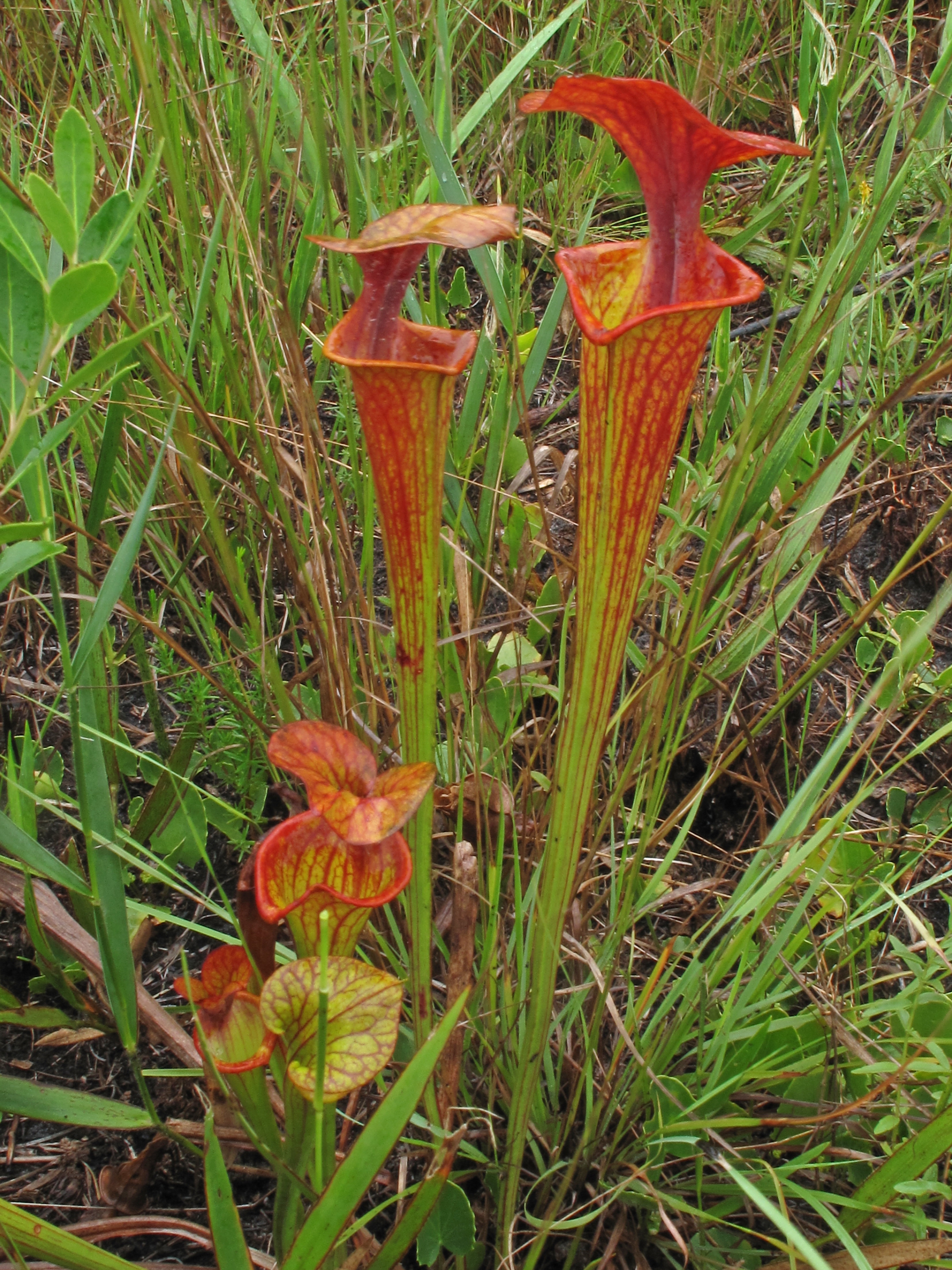
The bay is varieties of carnivorous plants such as Sarracenia flava var. ornata. Alan Cressler provided a photo of one in Red Bluff Bay, an archive copy of which is included in the album below.
An archived copy of a PDF map with some additional Carolina bay locations produced by the USDA is available from our site, HERE.
- Index #: 132318_8018
- Location: 33.20138182143508,-79.54627988624459
- Major: 1.37 km . . . Minor: 0.99 km
- Eccentricity: 0.689
- Area: 106.94 hectares
- Bearing: 148.77º
- Elevation: 10.66 m
- Planform: baySouth
- Effective Diameter: 1,166.876 m
Copyright 2018 by Michael Davias