Massie Lagoon, NE
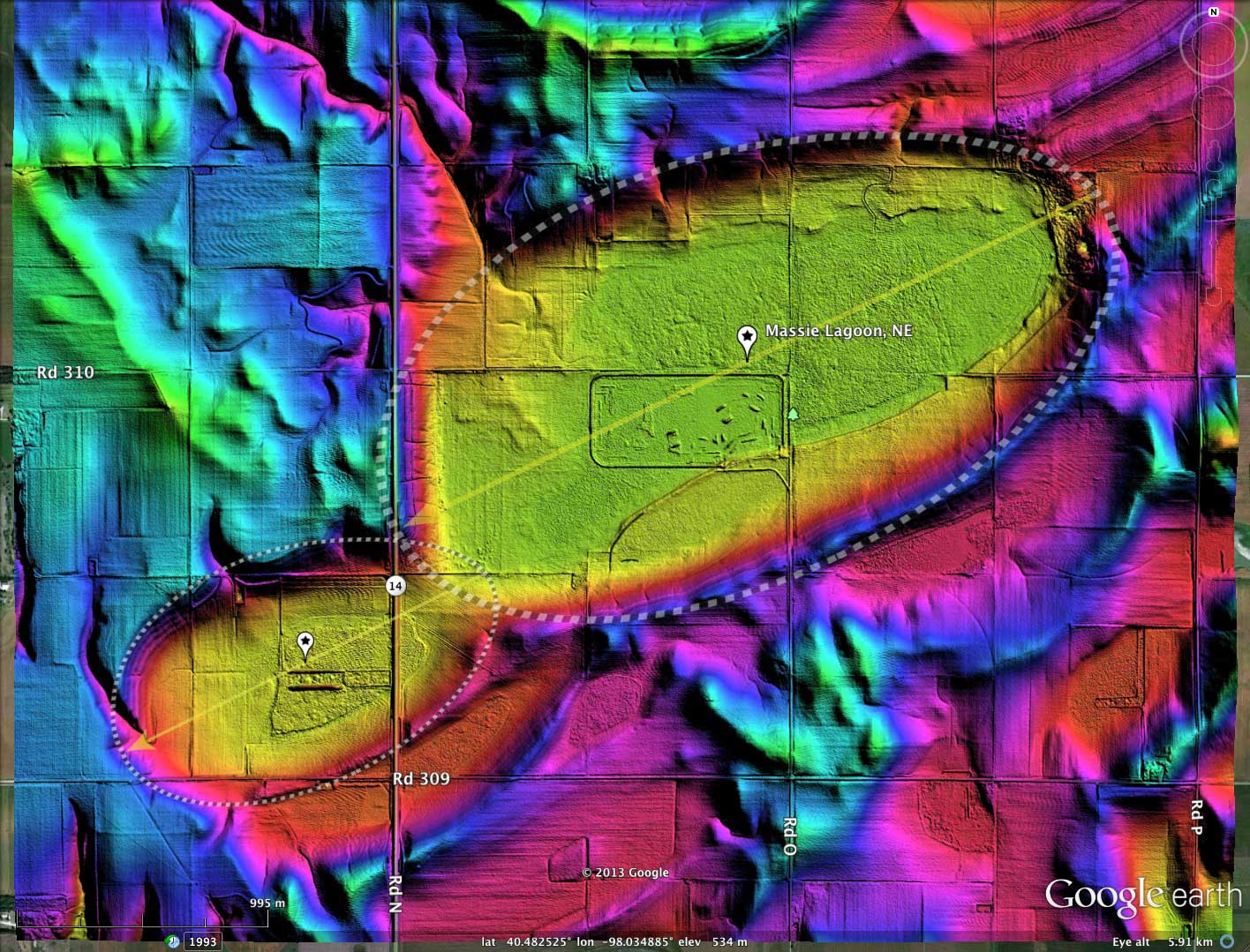
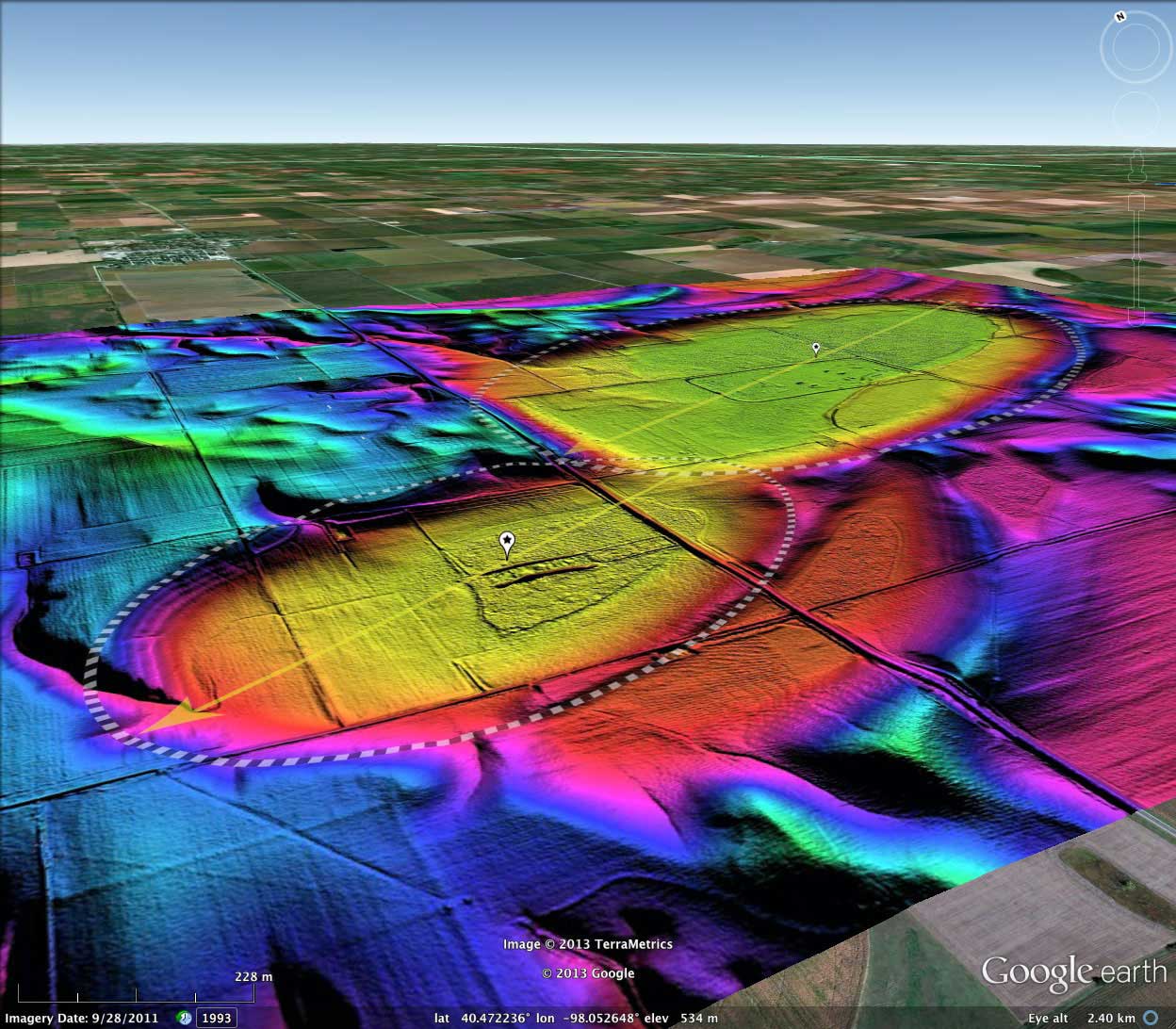
This basin is the home of the Massie Lagoon Waterfowl Production Area. I interpret the basin as being formed from the assembly of two interconnected bayWest archetype shapes. Numerous other local basin formations are present in the immediate surroundings, causing some distortion in the shape.
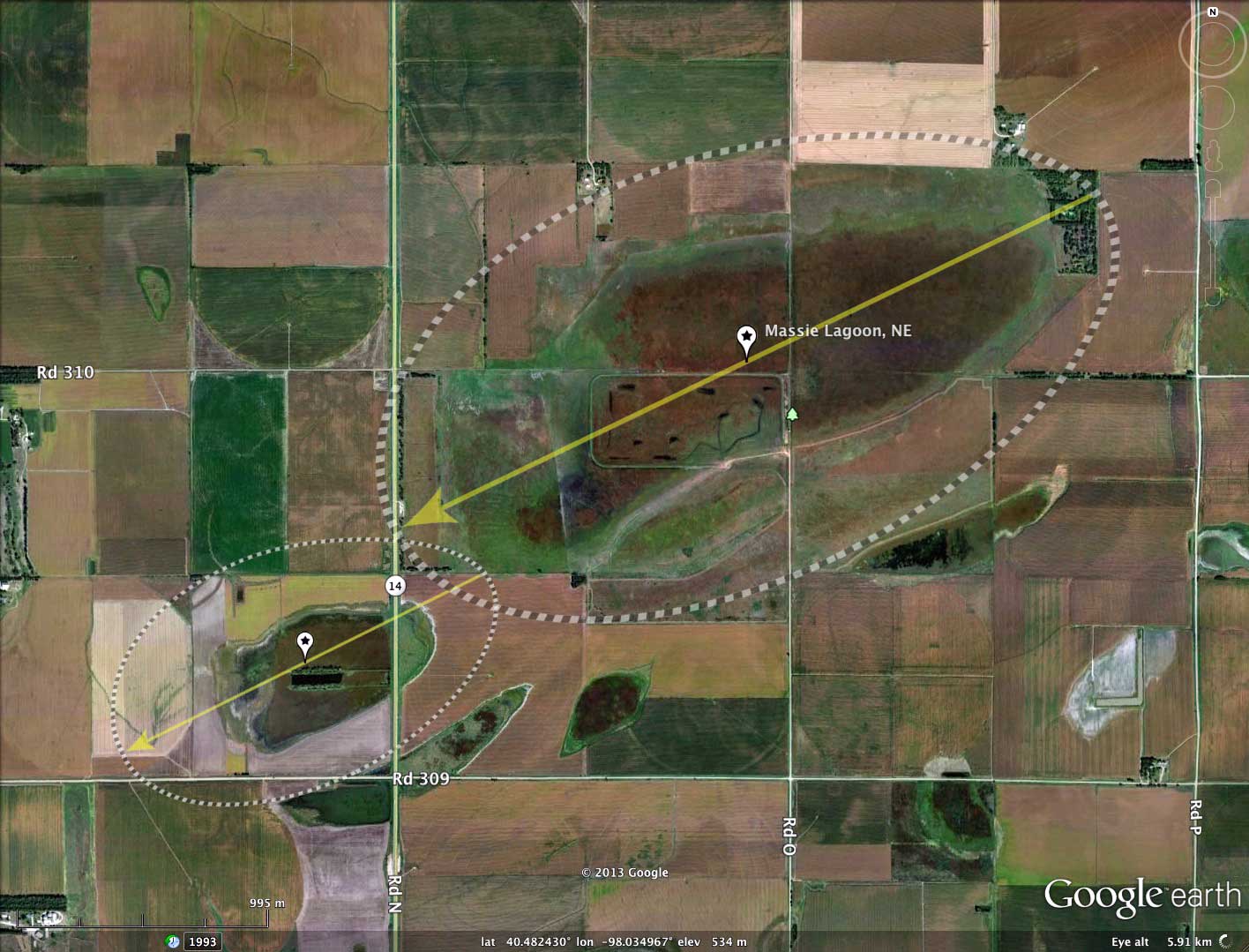
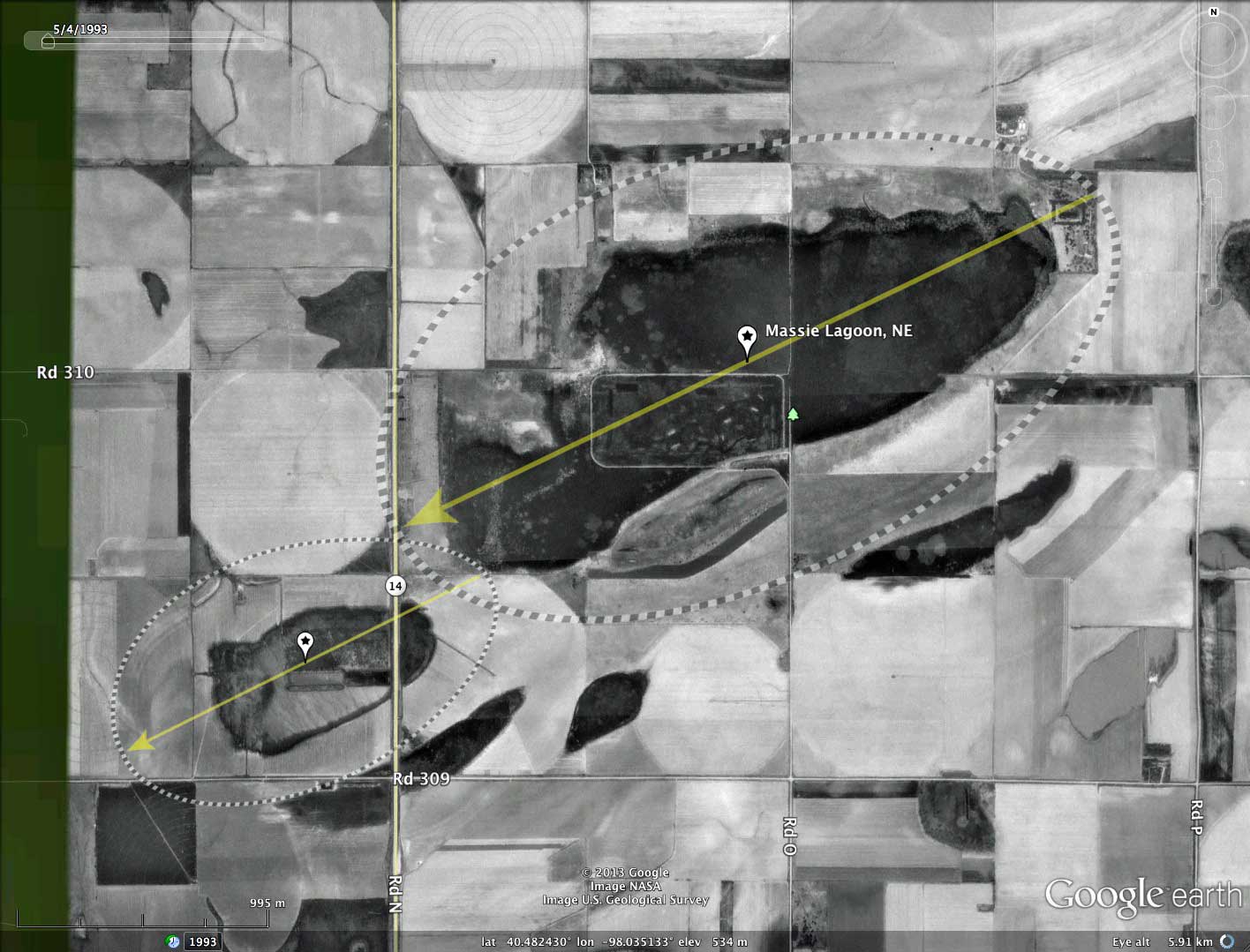
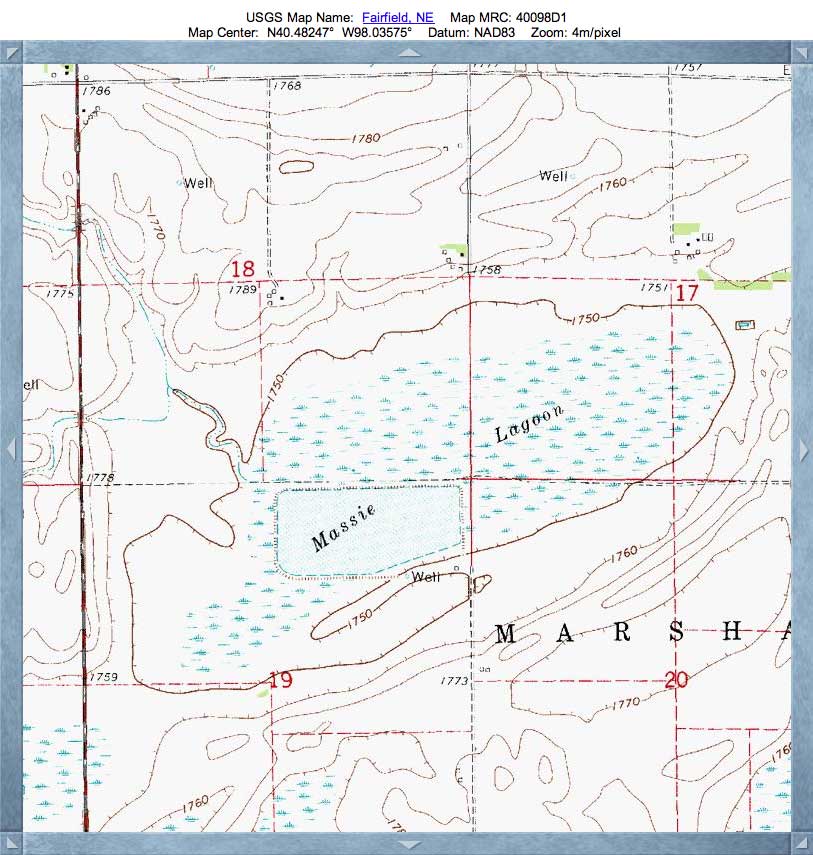
Located in Clay County, 2.5 miles south of Clay Center. Habitat includes 494 acres of wetland and 359 acres of upland. Massie is an excellent basin to see shoreline, edge and grassland bird species and is one of the best Rainwater Basin lagoons for waterfowl and shorebirds. It is part of a large elliptical basin that once occupied almost 2 sections. Between 1997 and 2001 this marsh supported over 7,000 spring shorebirds. Waterfowl species include snow geese, greater white-fronted geese, Canada geese, pintails, and mallards. Source: Nebraska Birding Trails
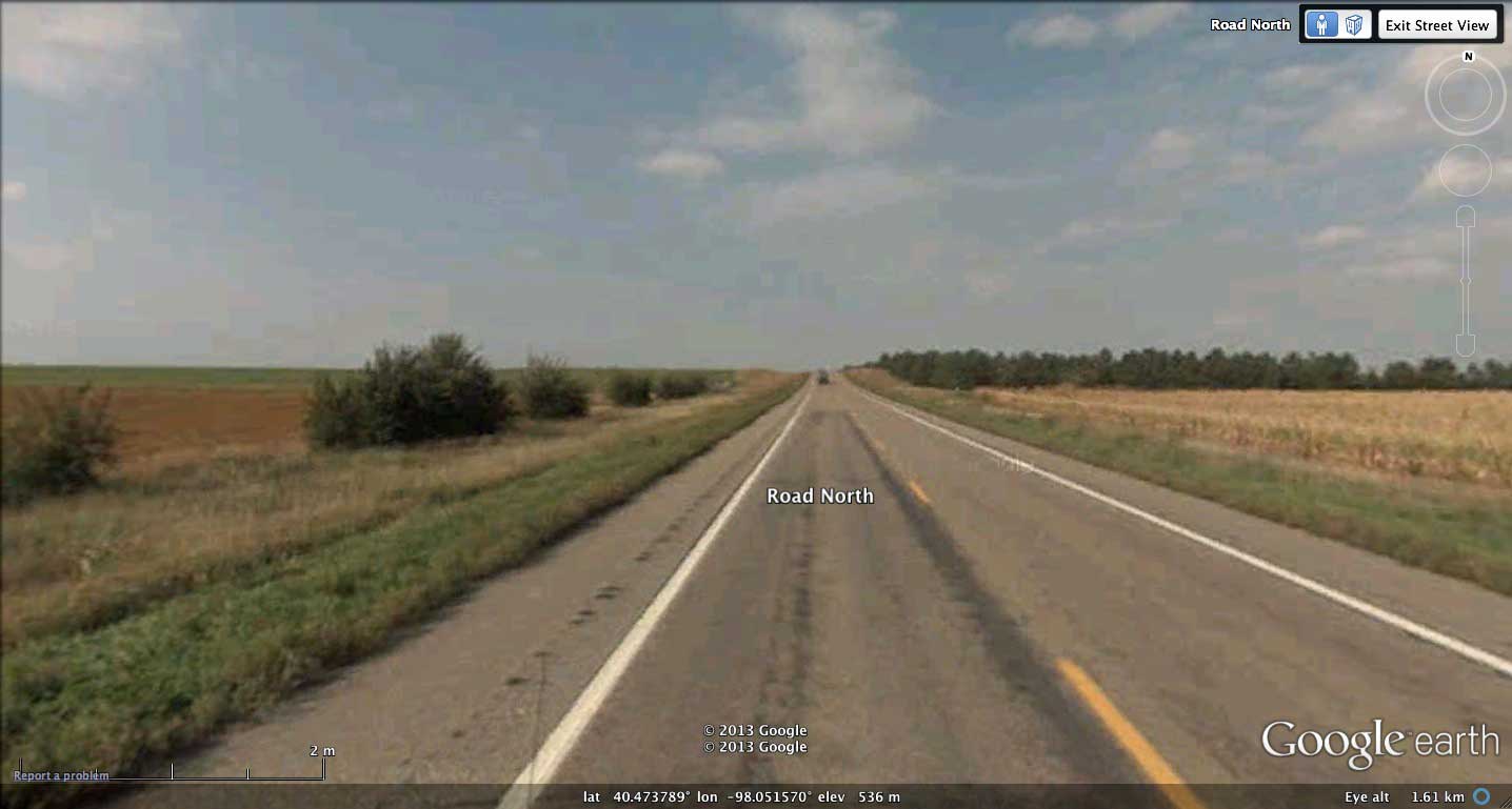
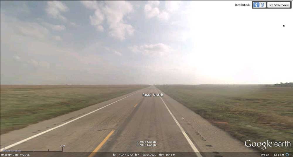
Google Streetview imagery is available along the north-south trace of Rd 14 as it rides the larger bay's western rim, then drops down, across, and up the southern rim of the smaller basin. The area can be viewed in a browser using this LINK, http://goo.gl/maps/swbtD ,and also by accessing the placemark in the attached KMZ file.
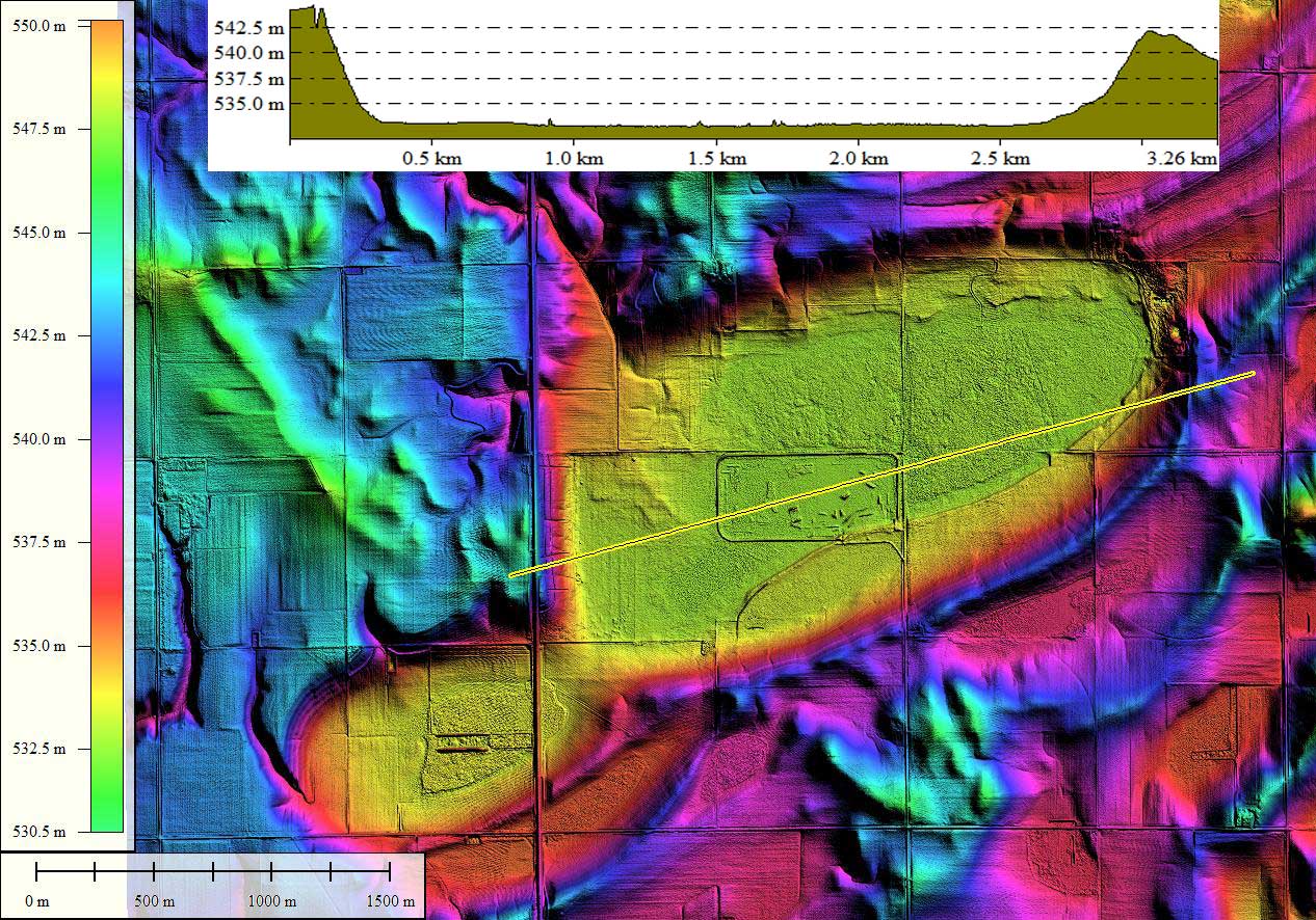
LiDAR data for Nebraska has been provided by the Nebraska Department of Natural Resources' Spatial Data Bank. The 1-2 meter spatial resolution raw data was processed in Global Mapper to yield the Google Earth overlays used.
Located in Clay County, 2.5 miles south of Clay Center. Habitat includes 494 acres of wetland and 359 acres of upland. Massie is an excellent basin to see shoreline, edge and grassland bird species and is one of the best Rainwater Basin lagoons for waterfowl and shorebirds. It is part of a large elliptical basin that once occupied almost 2 sections. Between 1997 and 2001 this marsh supported over 7,000 spring shorebirds. Waterfowl species include snow geese, greater white-fronted geese, Canada geese, pintails, and mallards. Source: Nebraska Birding Trails
Google Streetview imagery is available along the north-south trace of Rd 14 as it rides the larger bay's western rim, then drops down, across, and up the southern rim of the smaller basin. The area can be viewed in a browser using this LINK, http://goo.gl/maps/swbtD ,and also by accessing the placemark in the attached KMZ file.
LiDAR data for Nebraska has been provided by the Nebraska Department of Natural Resources' Spatial Data Bank. The 1-2 meter spatial resolution raw data was processed in Global Mapper to yield the Google Earth overlays used.
- Index #: 161392_9214
- Location: 40.4816024288759,-98.03503535814777
- Major: 3.11 km . . . Minor: 1.71 km
- Eccentricity: 0.834
- Area: 421.03 hectares
- Bearing: 244.32º
- Elevation: 532.93 m
- Archetype: bayWest
- Effective Diameter: 2,315.32 m
- Index #: 161392_8822
- Location: 40.47088289409665,-98.05572654099208
- Major: 1.61 km . . . Minor: 0.96 km
- Eccentricity: 0.801
- Area: 122.7 hectares
- Bearing: 243.61º
- Elevation: 533.76 m
- Archetype: bayWest
- Effective Diameter: 1,249.905 m
Copyright 2018 by Michael Davias