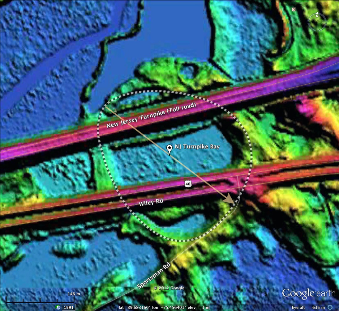
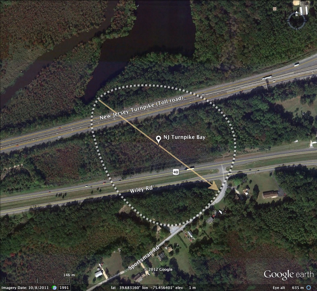
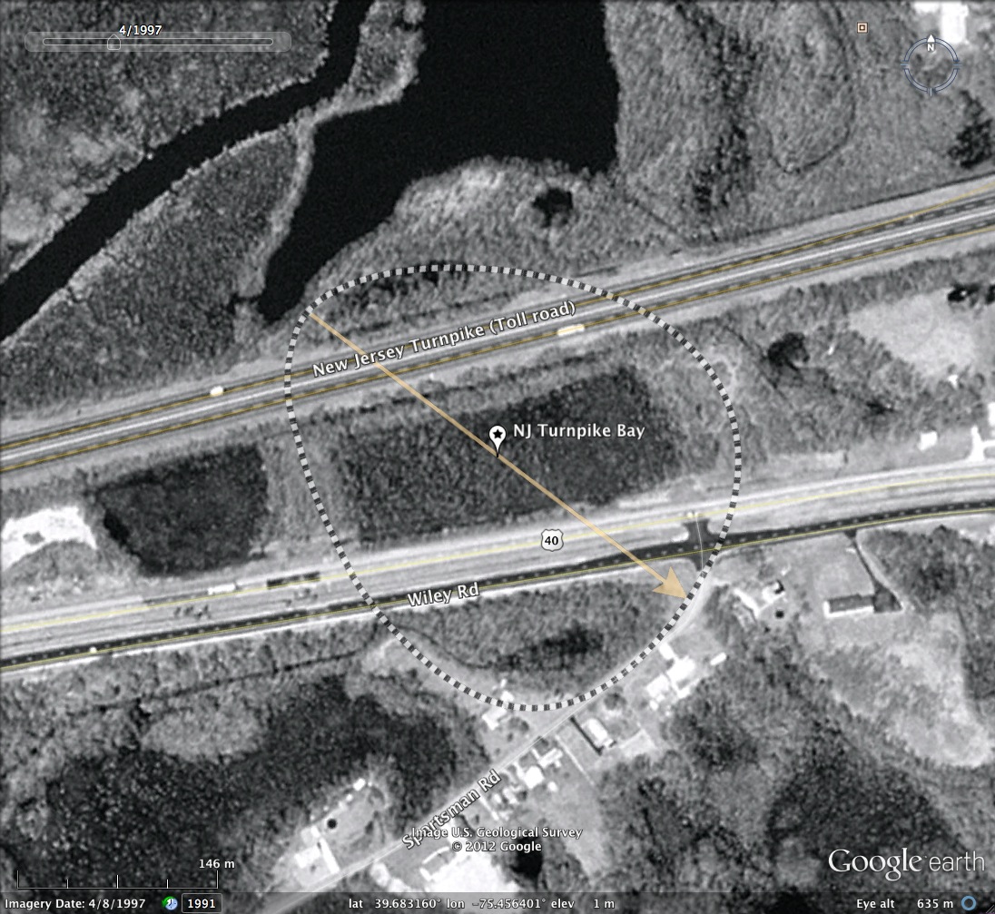
NJ Turnpike Bay, NJ
Carolina Bays are typically inaccessible because of their character. How about a bay which is crossed daily by 80,000 cars? This bay was traversed by the New Jersey Turnpike when it was constructed back in the 1950s, and is currently crossed by 4 lanes of the NJ Turnpike and 4 lanes of US 40, less than 3 kilometers east of the Deleware Memorial Bridges.
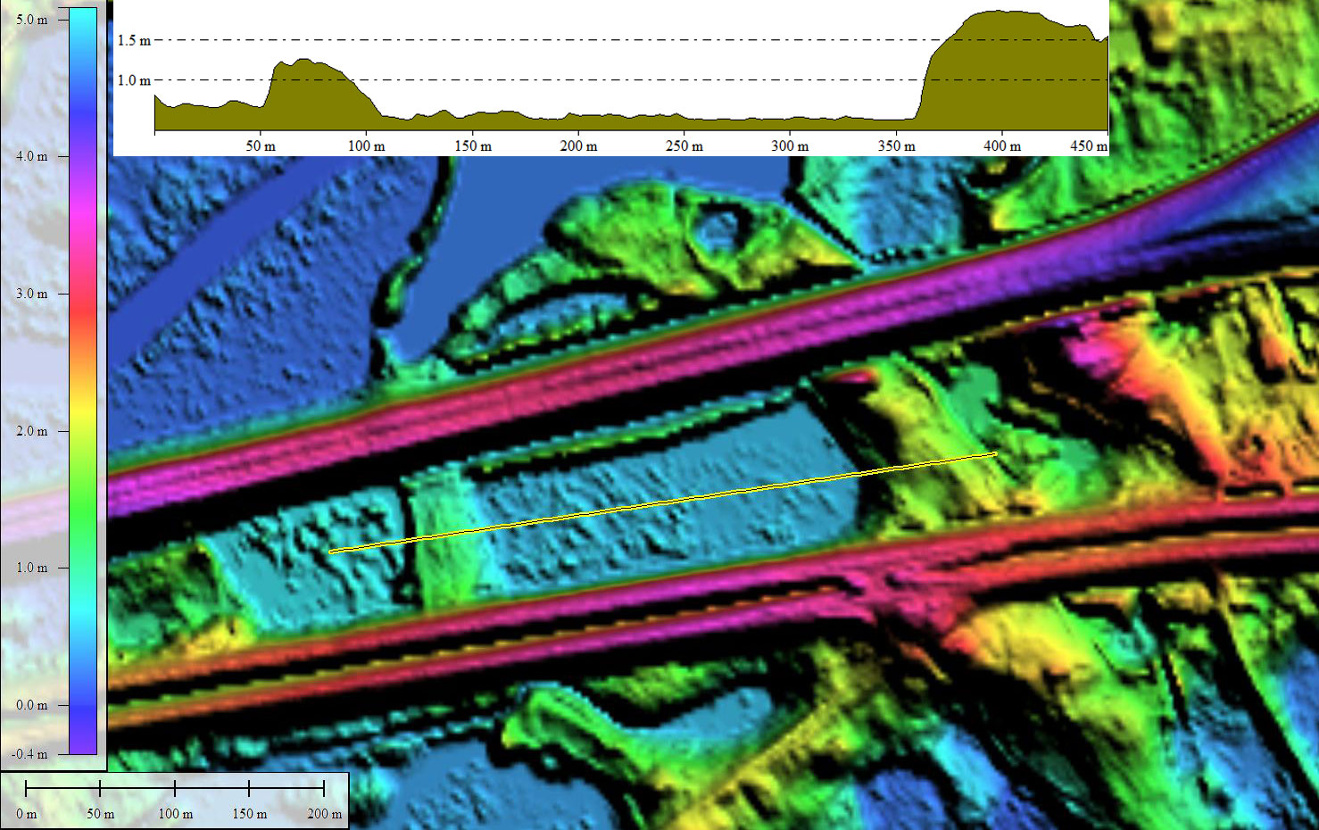
The attached album contains the LiDAR imagery and our measurement overlay to highlight my interpretation of the bay's shape. What might seem as an arbitrary selection and orientation is justified by the duplication in several nearby bays which appeared in two previous posts: Courses Landing Bays and Ecret Bay.
The attached album contains the LiDAR imagery and our measurement overlay to highlight my interpretation of the bay's shape. What might seem as an arbitrary selection and orientation is justified by the duplication in several nearby bays which appeared in two previous posts: Courses Landing Bays and Ecret Bay.
- Index #: 158301_7382
- Location: 39.68316004458029,-75.45640125546257
- Major: 0.35 km . . . Minor: 0.3 km
- Eccentricity: 0.504
- Area: 8.55 hectares
- Bearing: 128.09º
- Elevation: 0.53 m
- Planform: bayBell
- Effective Diameter: 329.942 m
Copyright 2018 by Michael Davias