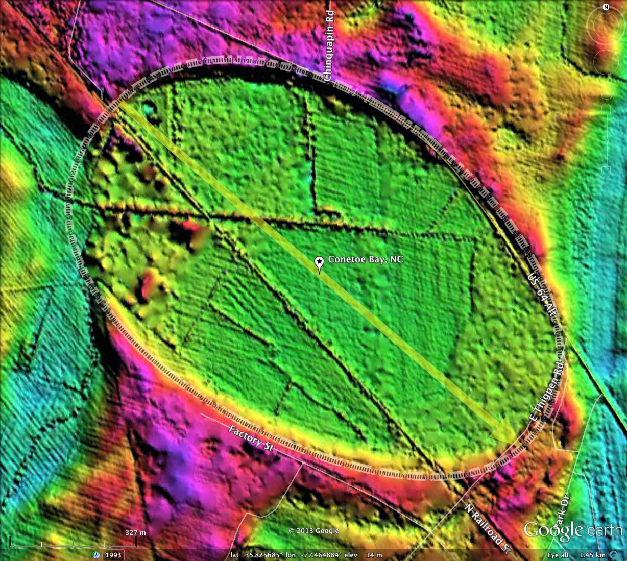
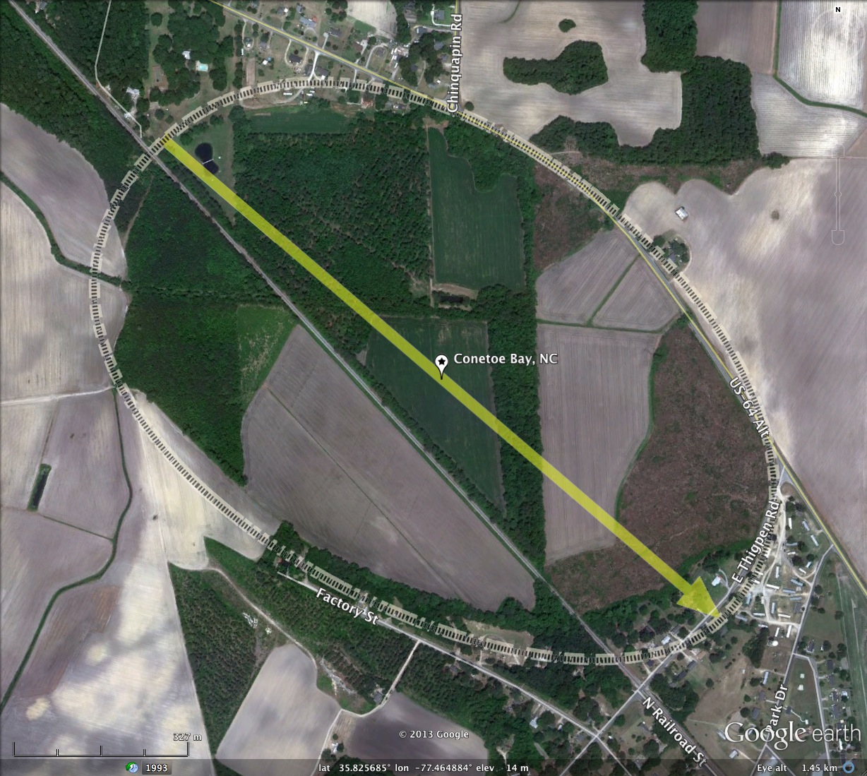
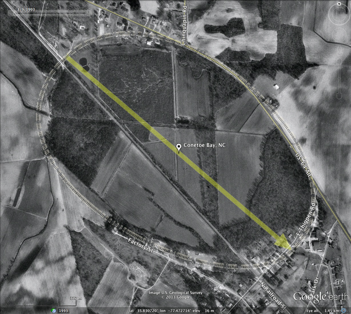
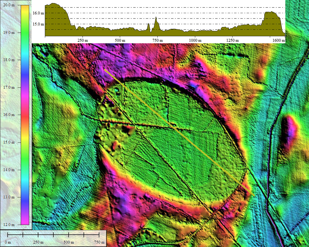
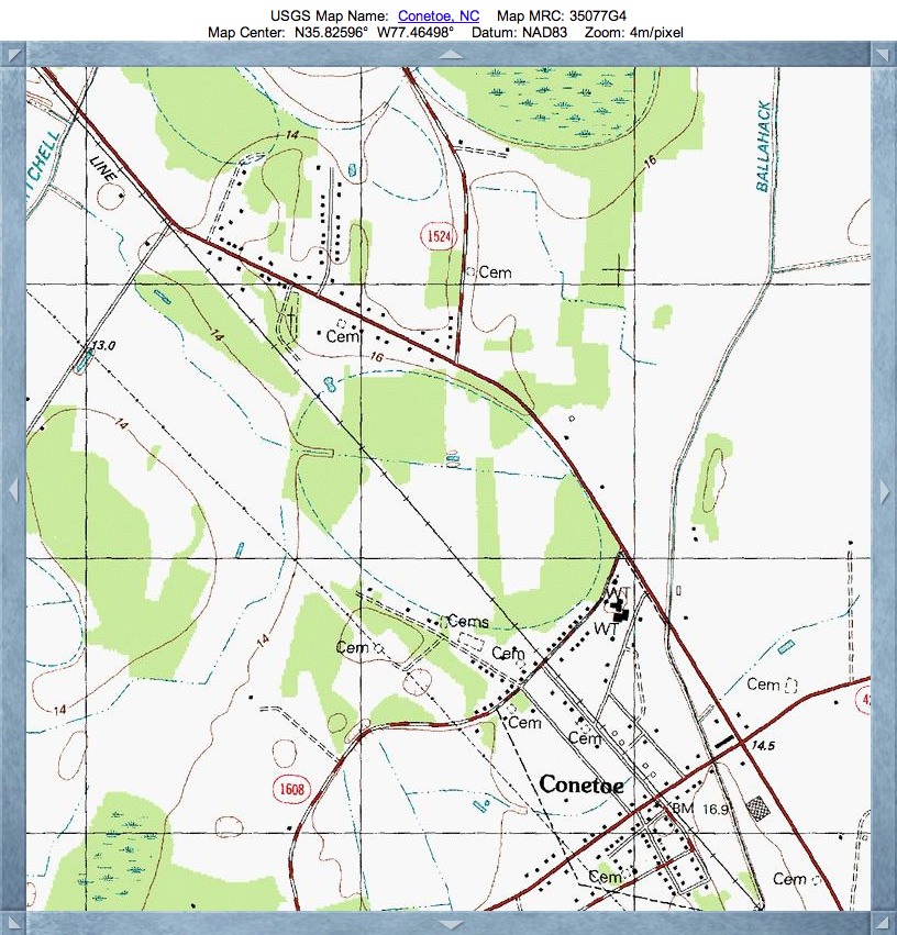
Conetoe Bay, NC
This 1km diameter bay lies just north of Conetoe, NC. While the local roads bend around it, there is a rail corridor crossing it. A drainage channel is also present, exiting the rim to the west into local natural drainage. The rim of the bay seems to have been naturally excised there by fluvial activity in that river bed.
Conetoe Bay matches the common bayCarolina archetype shape overlay, as do numerous other local bays. Bay major axis orientations in the area are similarly aligned.
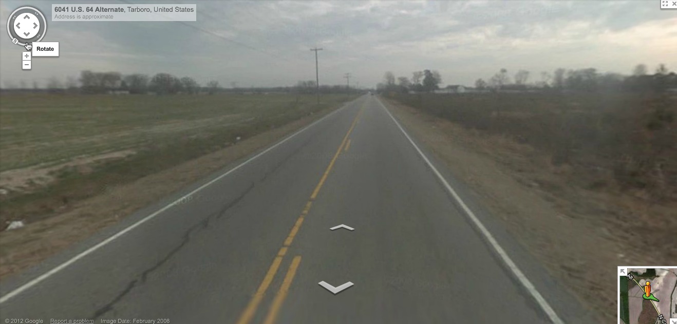
Google Streetview is available along US 64 Alt. and E. Thigpen Rd. A shot is included in the album, and its siting is documented in the KMZ file. Use this link to browse yourself: http://goo.gl/maps/Xc8x2
Conetoe Bay matches the common bayCarolina archetype shape overlay, as do numerous other local bays. Bay major axis orientations in the area are similarly aligned.
Google Streetview is available along US 64 Alt. and E. Thigpen Rd. A shot is included in the album, and its siting is documented in the KMZ file. Use this link to browse yourself: http://goo.gl/maps/Xc8x2
- Index #: 143309_3085
- Location: 35.825832516240254,-77.46473892365916
- Major: 1.39 km . . . Minor: 0.91 km
- Eccentricity: 0.756
- Area: 100.14 hectares
- Bearing: 130.69º
- Elevation: 14.36 m
- Archetype: bayCarolina
- Effective Diameter: 1,129.167
Copyright 2018 by Michael Davias