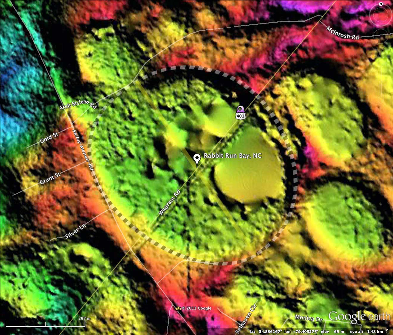
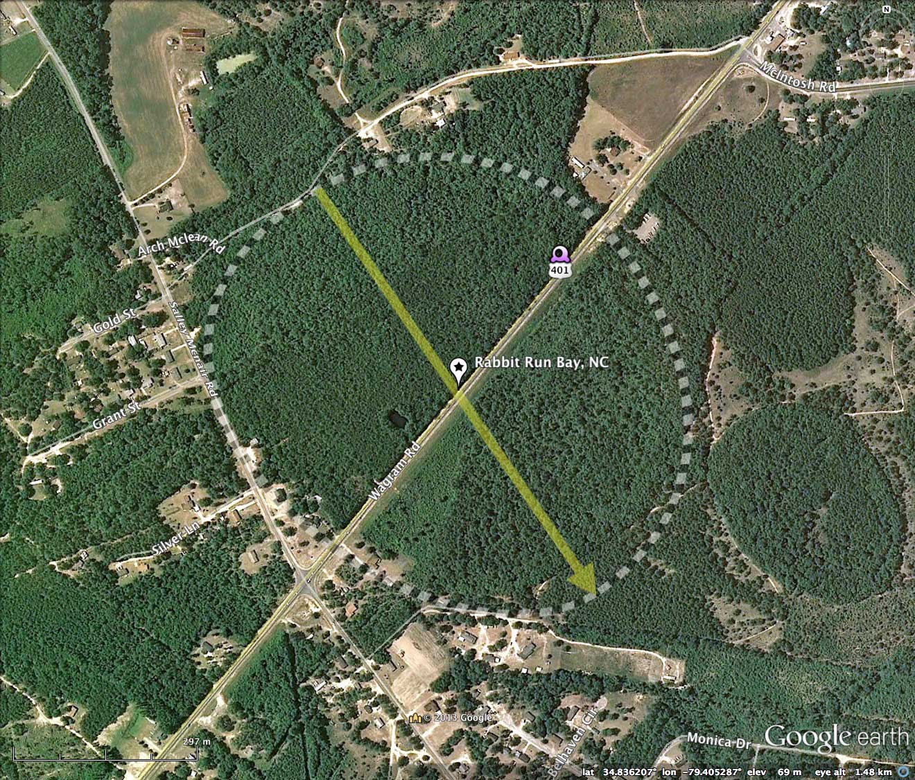
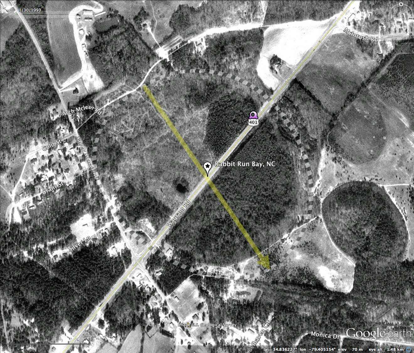
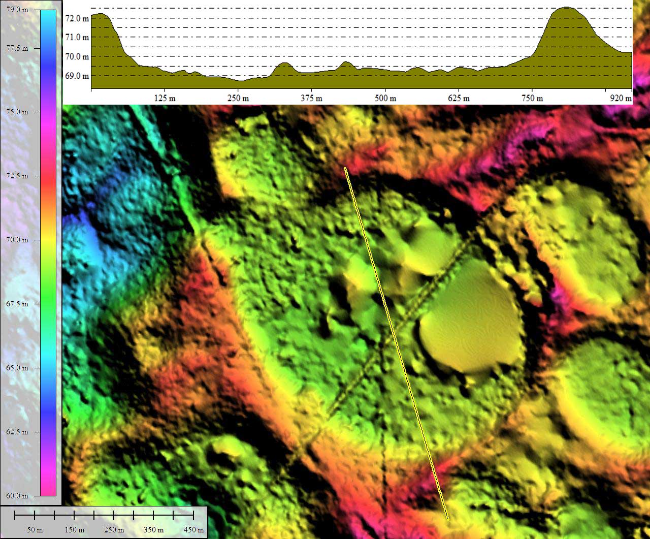
Rabbit Run Bay, NC
The bay conforms well to the bayCarolina archetype shape, and is oriented at 145.59º, as are the other 3 named bays in the complex.
Harry E. LeGrand, Jr. of the North Carolina Natural Heritage Program, executed An Inventory Of The Significant Natural Areas Of Scotland County, North Carolina. He offered this description of Rabbit Run Bay and the complex:
The matrix between the bays has mostly been cut-over sandhills. Cropland lies between Big Cypress Meadow and 401 Bay. A few remnants of sandhills vegetation is present along the eastern side of 401 Bay.
The Nature Conservancy owns and protects nearly 235 acres of the site, of which 128 acres are a Dedicated State Nature Preserve. Their ownership includes the eastern 35% of Big Cypress Meadow, the eastern 30-35% of 401 Bay, nearly all of Backside Bay, and some cut-over sandhills, but just the southern tip of Laurinburg Pond. Fortunately, the private owner of the remainder of Laurinburg Pond has protected the bay as a Registered Natural Heritage Area. Thus, sizable portions of all four bays are protected, but the majority of Big Cypress Meadow and 401 Bay are not protected, nor is Laurinburg Pond protected in perpetuity. Thus, continued acquisition or permanent private conservation agreements of the bays and surrounding habitat by The Nature Conservancy and other conservation entities are very important.
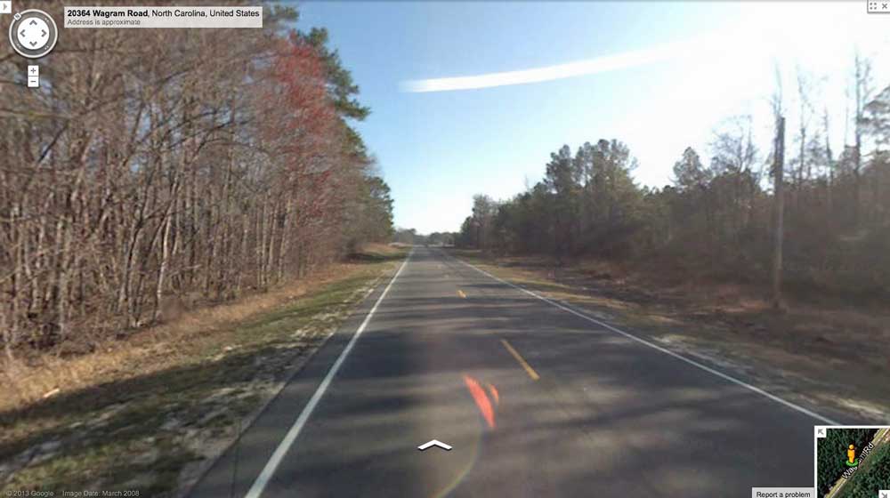
Google Streetview is available from US 401, as it transits the bay floor. Roadbed can be seen cutting through the rim in the distance as it exits the bay, evidenced by the landscape along the road changing from being depressed to being raised land on both sides. Browse interactively in Google maps using this LINK.
The Carolina Bay Survey has identified and measured 600 bays in _Octant 139317_. Their location and metrics can be referenced through a Fusion Table spatial visualization.
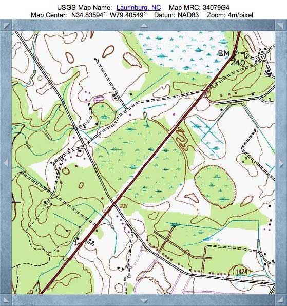
Index #: 139317_3462
- Location: 34.835918039570785,-79.40519602325259
- Major: 0.79 km . . . Minor: 0.7 km
- Eccentricity: 0.475
- Area: 43.91 hectares
- Bearing: 145.59º
- Elevation: 69.27 m
- Archetype: bayCarolina
- Effective Diameter: 747.715 m