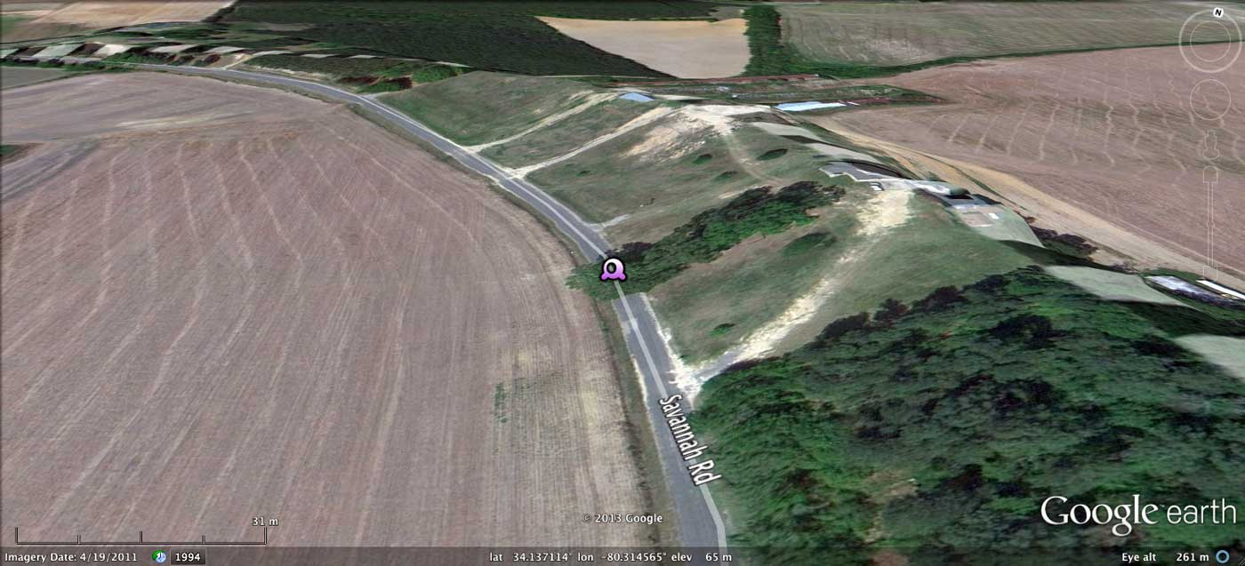
Savannah Road Bay, SC
Today's Carolina Bay of the Day is a lovely small bay in Lee County, South Carolina. The bay is exquisitely sculpted out of the surrounding landscape, but is unlikely ever to be restored due to its transformation into farmland.
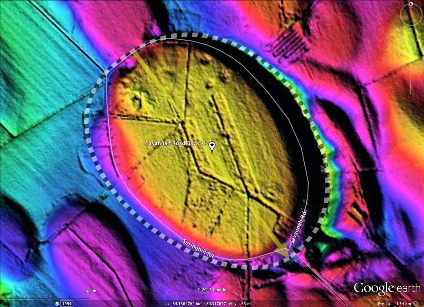
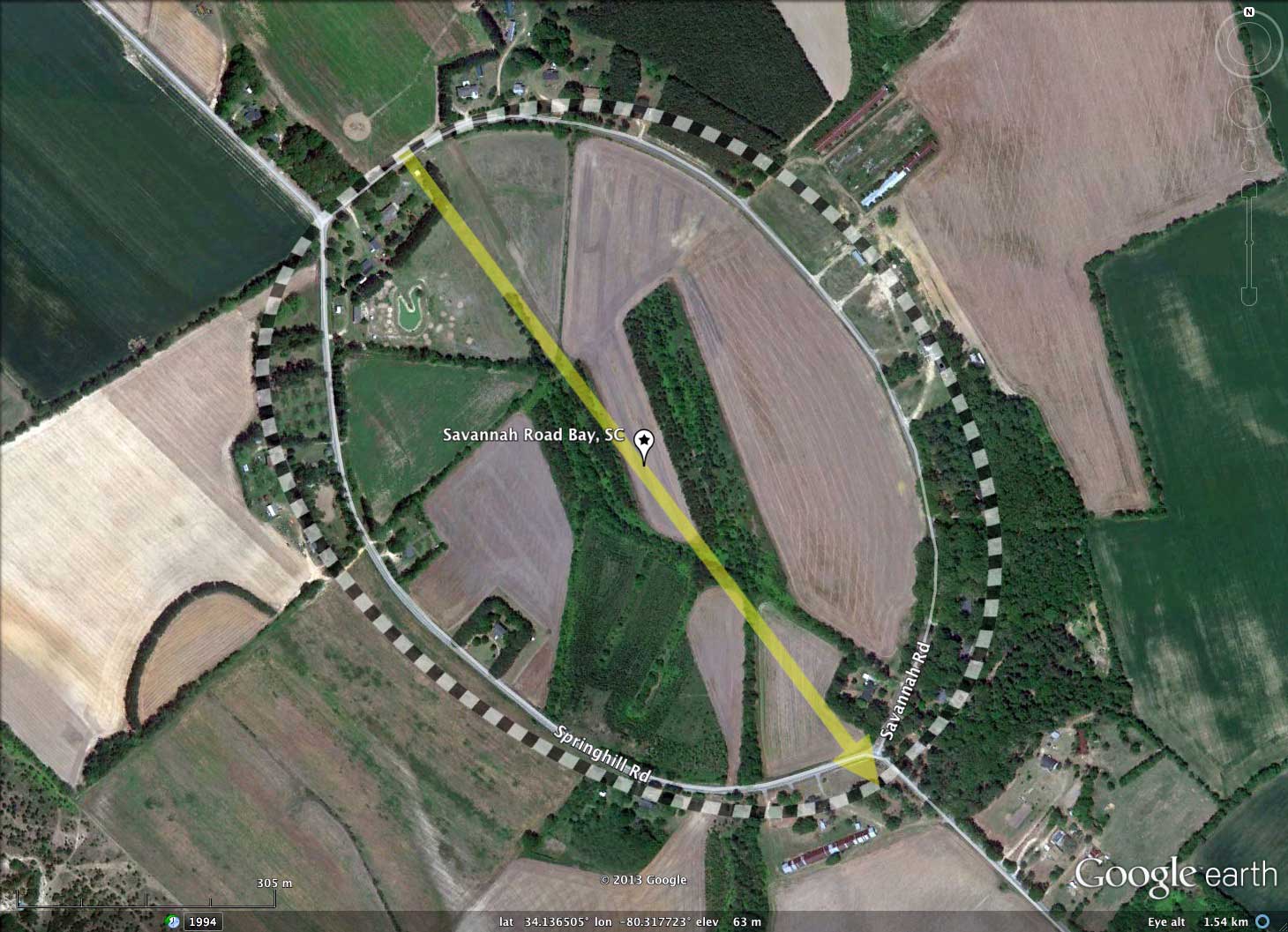
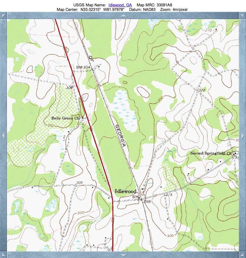
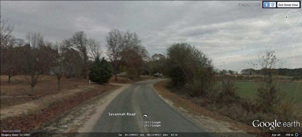
I named this small bay after the road which loops around the inside of its eastern rim. Springhill Road runs around the inside of the western half of the bay, allowing a full circuit around the inner side of the bay rim. You can view the bay from both roads using Google Streetview imagery in your web browser using this LINK.
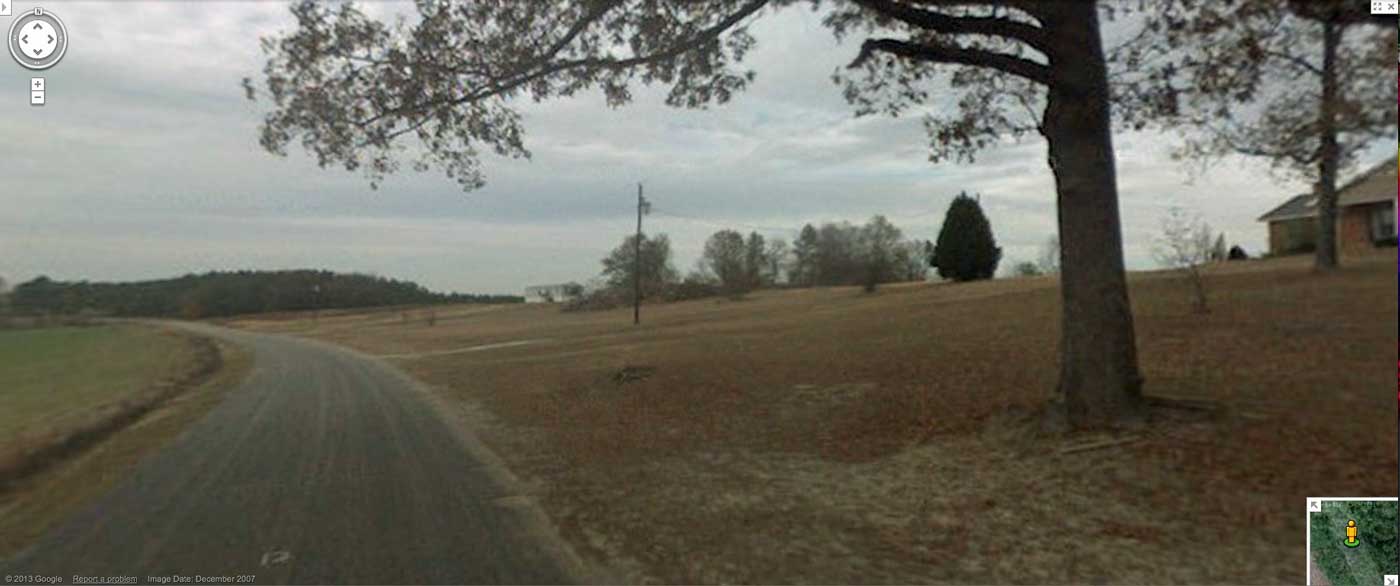
The location of the eastern and western interior slope Streeviews are shown as placemarks in the referenced KMZ file, and static imagery is supplied in the attached Album.
The bay's orientation is similar to the numerous other local bays. Many of these bays are set into the surrounding landscape, with no raised rims; Savannah Road Bay sports a raised rim only on the eastern side.
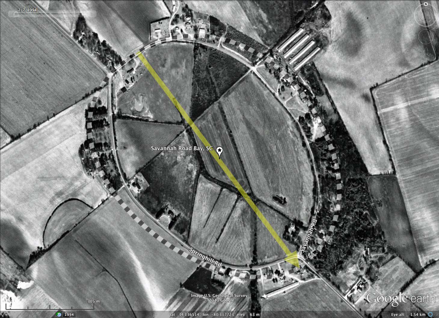
The University of South Carolina offers on-line access to historical imagery from the Thomas Cooper Library Maps Department , and the attached album contains a view of the bay taken from the air in 1950. There area some signs of cross-bay ditching back then, but today's LiDAR imagery shows the bay be extensively ditched, and drains out through the most southern point of the rim.
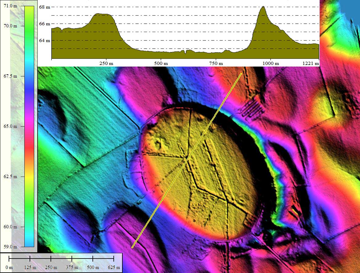
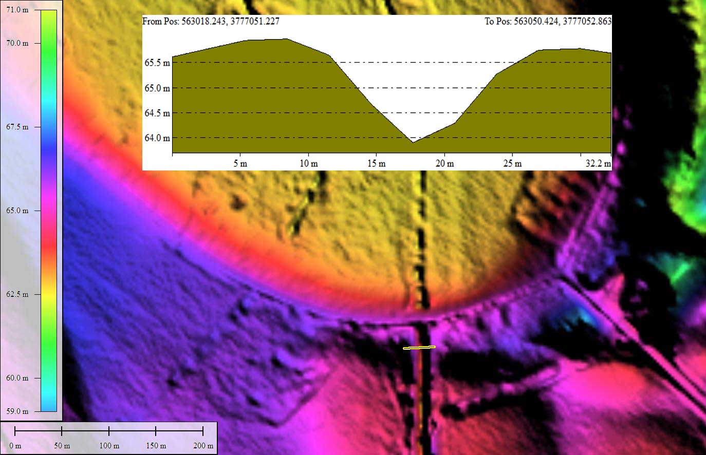
The LIDAR captures a 10-meter wide ditch at an elevation of 62.5 feet, which is ~3 meters below the rim. The rim is only about 50 meters in width at that point; this site might offer a good deep-rim OSL dating exposure. (see BayRimCut elevation profile map)
I named this small bay after the road which loops around the inside of its eastern rim. Springhill Road runs around the inside of the western half of the bay, allowing a full circuit around the inner side of the bay rim. You can view the bay from both roads using Google Streetview imagery in your web browser using this LINK.
The location of the eastern and western interior slope Streeviews are shown as placemarks in the referenced KMZ file, and static imagery is supplied in the attached Album.
The bay's orientation is similar to the numerous other local bays. Many of these bays are set into the surrounding landscape, with no raised rims; Savannah Road Bay sports a raised rim only on the eastern side.
The University of South Carolina offers on-line access to historical imagery from the Thomas Cooper Library Maps Department , and the attached album contains a view of the bay taken from the air in 1950. There area some signs of cross-bay ditching back then, but today's LiDAR imagery shows the bay be extensively ditched, and drains out through the most southern point of the rim.
The LIDAR captures a 10-meter wide ditch at an elevation of 62.5 feet, which is ~3 meters below the rim. The rim is only about 50 meters in width at that point; this site might offer a good deep-rim OSL dating exposure. (see BayRimCut elevation profile map)
- Index #: 136321_5427
- Location: 34.13622131214246,-80.3177463067772
- Major: 0.96 km . . . Minor: 0.75 km
- Eccentricity: 0.622
- Area: 57.24 hectares
- Bearing: 143.15º
- Elevation: 62.58 m
- Archetype: bayCarolina
- Effective Diameter: 853.698 m
Copyright 2018 by Michael Davias