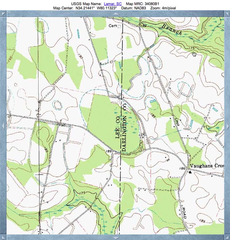
Jeffors Road Bay, SC
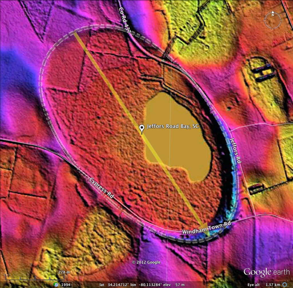
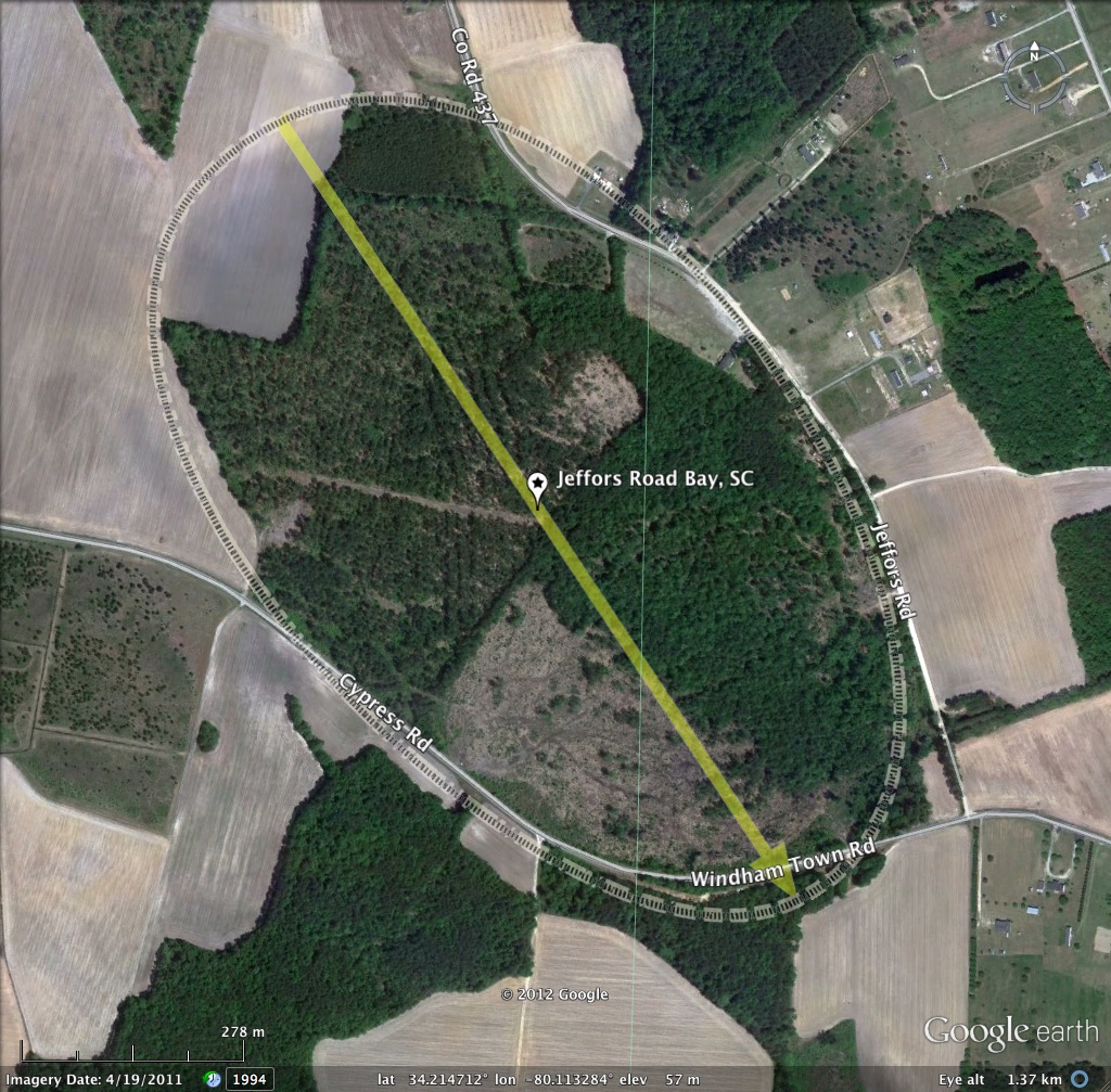
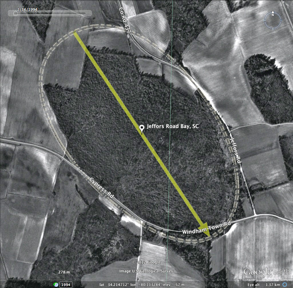
Jeffors Road Bay was named by me after the road which traces its eastern rim. At over a kilometer long, the bay is among the larger ones existent, yet has not been given a formal name by the USGS. If someone know a local name attached to this bay, please let us know.
Surprisingly, the southern half has not been ditched. This is supported by the LiDAR imagery's identification of significant ponded water, and what looks to be native forest stand across it. Other areas have been farmed, or have linear tree stands, suggesting timber cultivation.
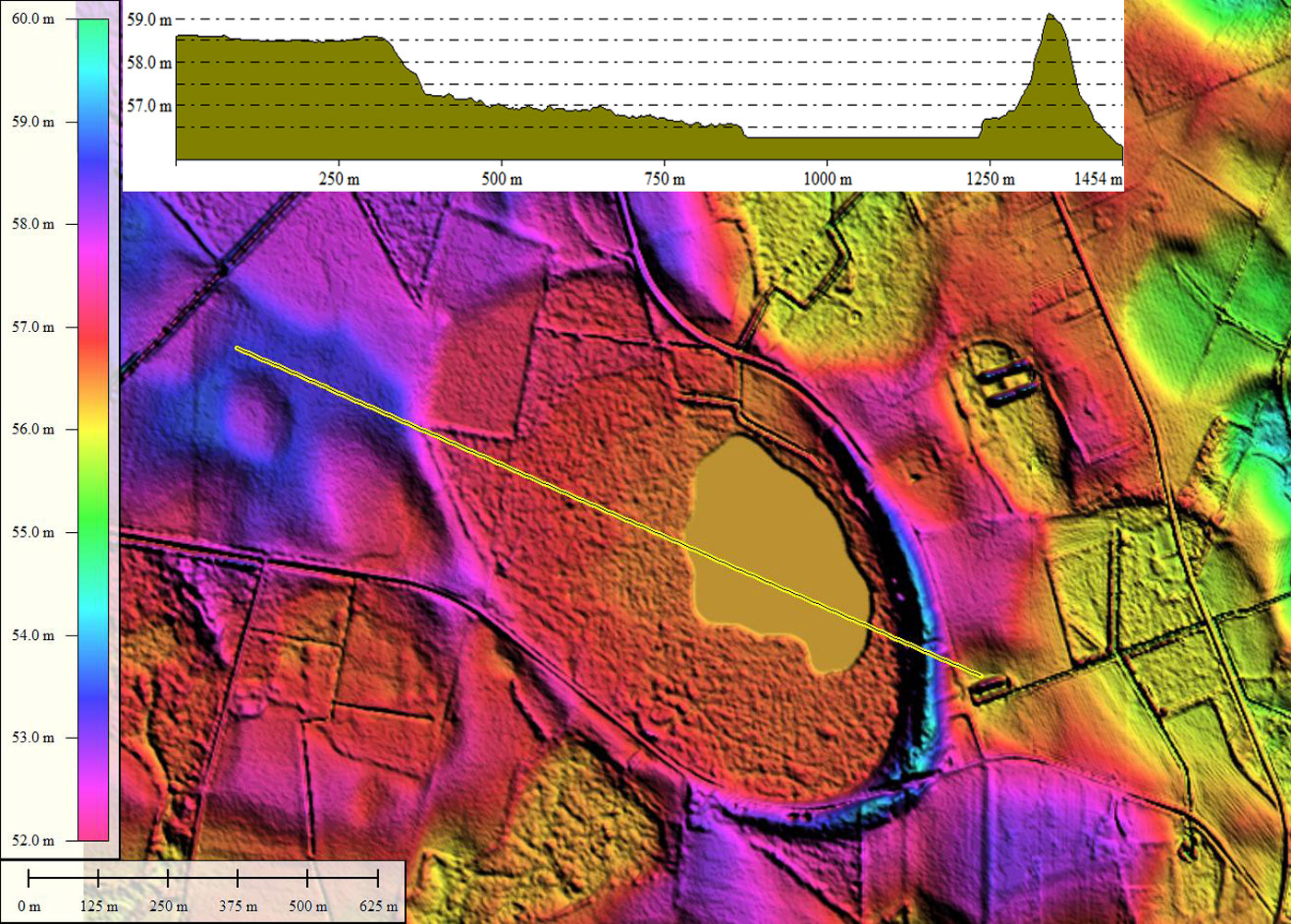
Jeffors fits the standard bayCarolina archetype shape, similar to numerous other local bays in shape and orientation, although at various different bay-floor attitudes, as seen in the elevation profile map. The southeastern rim is very well expressed, and shows no wind-blown dune artifacts. The north west rim backs into the higher-elevation landscape.
Surprisingly, the southern half has not been ditched. This is supported by the LiDAR imagery's identification of significant ponded water, and what looks to be native forest stand across it. Other areas have been farmed, or have linear tree stands, suggesting timber cultivation.
Jeffors fits the standard bayCarolina archetype shape, similar to numerous other local bays in shape and orientation, although at various different bay-floor attitudes, as seen in the elevation profile map. The southeastern rim is very well expressed, and shows no wind-blown dune artifacts. The north west rim backs into the higher-elevation landscape.
- Index #: 136320_8645
- Location: 34.21511492751466,-80.11352723834064
- Major: 1.18 km . . . Minor: 0.7 km
- Eccentricity: 0.805
- Area: 65.77 hectares
- Bearing: 146.46º
- Elevation: 56.37 m
- Planform: bayCarolina
- Effective Diameter: 915.1 m
Copyright 2018 by Michael Davias